Download
Preview
Add to list
More
6.6 km
~2 hrs 22 min
636 m
Out and Back
“Discover the Battle Creek Trail in Utah: a 7 km journey through waterfalls, wildlife, and historical landscapes.”
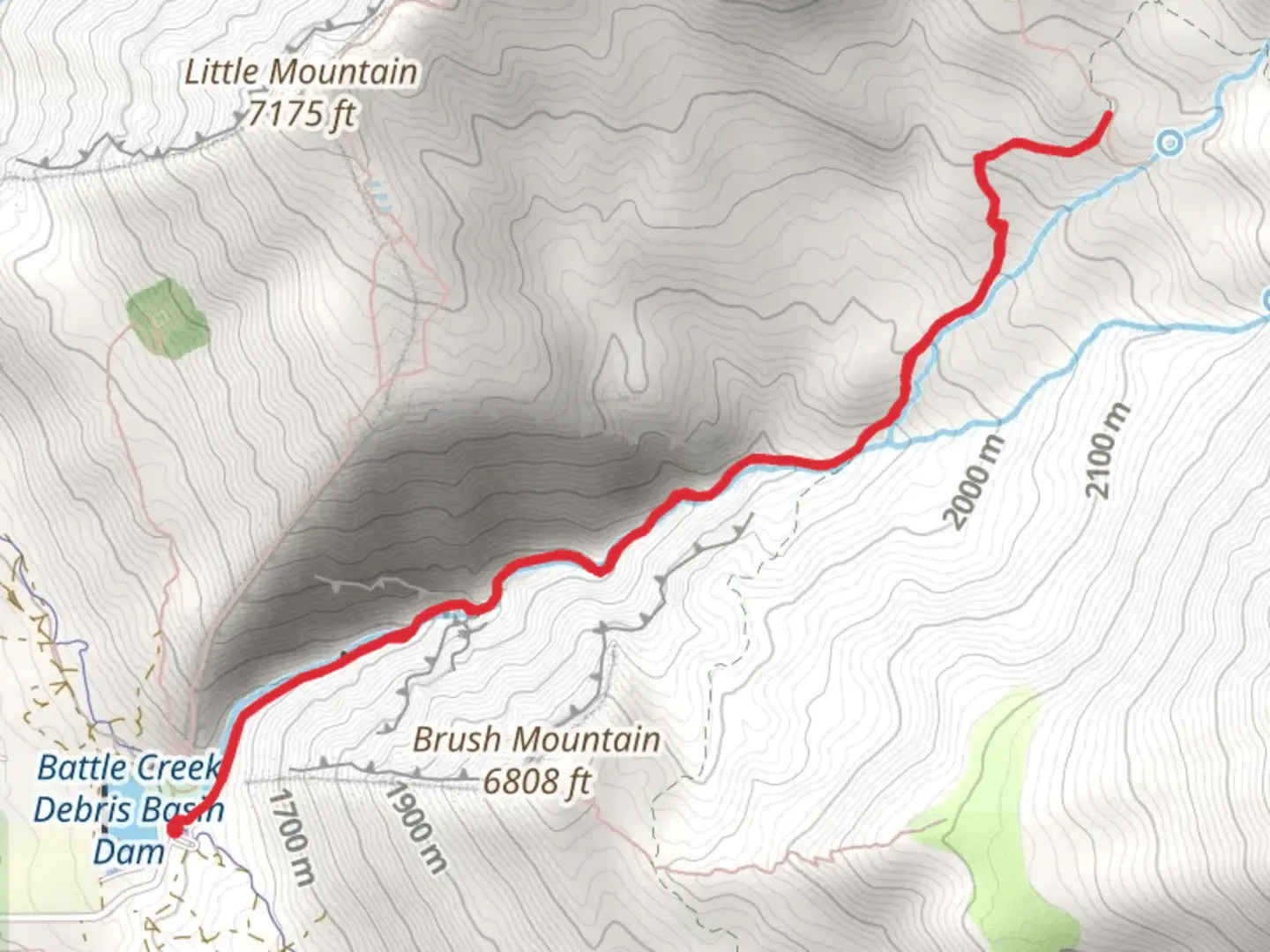
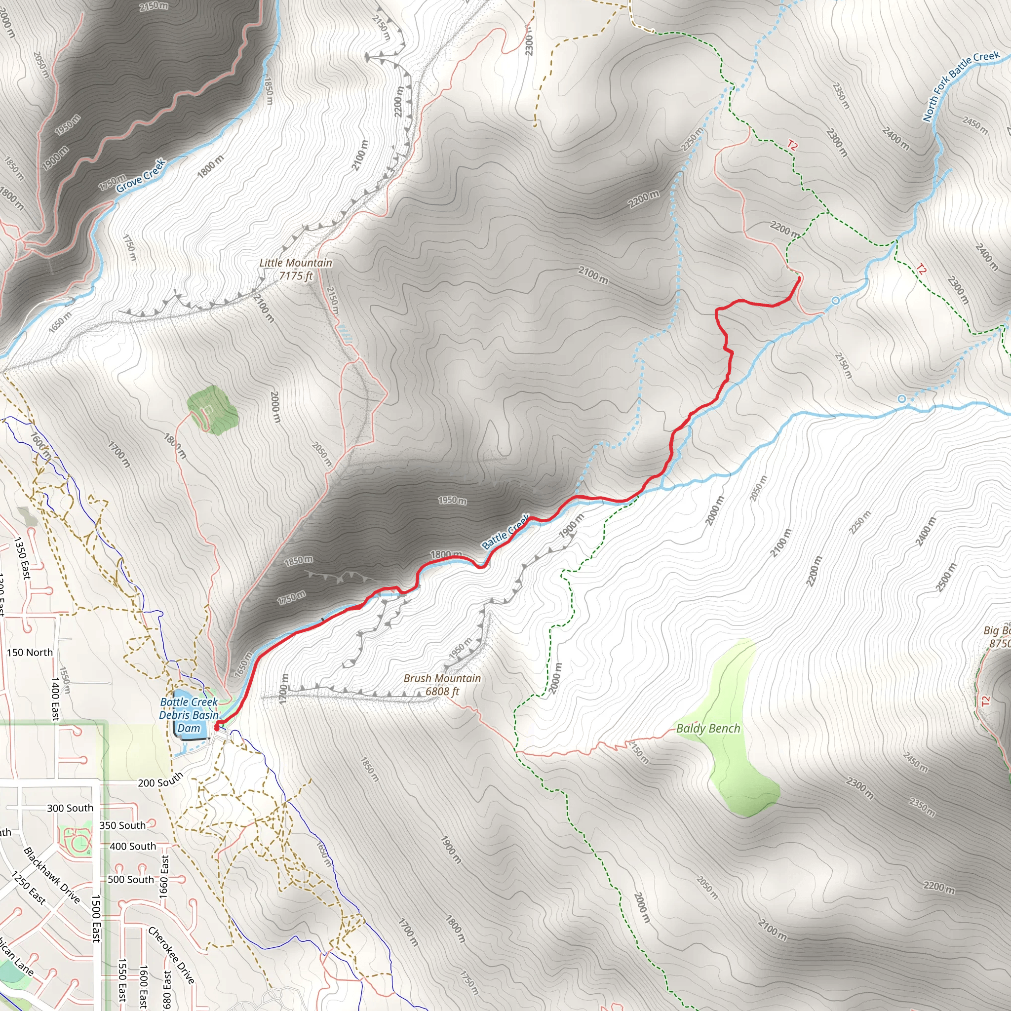
Starting your hike near Utah County, Utah, the Battle Creek Trail offers a rewarding out-and-back journey of approximately 7 km (4.3 miles) with an elevation gain of around 600 meters (1,968 feet). This trail is rated as medium difficulty, making it suitable for moderately experienced hikers.### Getting There To reach the trailhead, you can drive or use public transport. If driving, head towards the city of Pleasant Grove, Utah. The nearest significant landmark is the Kiwanis Park, located at 200 S 400 E, Pleasant Grove, UT 84062. From there, follow local signage to the Battle Creek Trailhead. For those using public transport, the Utah Transit Authority (UTA) offers bus services to Pleasant Grove. From the bus stop, you may need to arrange a short taxi ride or a rideshare to reach the trailhead.### Trail Overview The trail begins with a gentle ascent through a shaded forest, offering a cool and refreshing start. As you progress, the path becomes steeper, and the terrain more rugged. Be prepared for a mix of dirt paths and rocky sections. ### Key Landmarks and Points of Interest - Battle Creek Falls: At approximately 1.6 km (1 mile) into the hike, you will encounter the stunning Battle Creek Falls. This 50-foot waterfall is a perfect spot for a short break and photo opportunity. The falls are particularly impressive in the spring when snowmelt increases the water flow. - Wildlife and Flora: The trail is home to a variety of wildlife, including deer, squirrels, and numerous bird species. The flora is equally diverse, with wildflowers blooming in the spring and summer, and vibrant autumn foliage in the fall. - Historical Significance: The area around Battle Creek has historical importance. It was named after a skirmish between Mormon settlers and the Ute Indians in 1849. This event is a significant part of Utah's early pioneer history.### Elevation and Terrain The trail's elevation gain of 600 meters (1,968 feet) is gradual but steady. The first half of the hike is relatively moderate, but the second half becomes more challenging as you approach the higher elevations. The trail can be narrow and rocky in places, so sturdy hiking boots are recommended.### Navigation and Safety Using HiiKER for navigation is highly recommended to ensure you stay on the correct path. The trail is well-marked, but having a reliable navigation tool can provide peace of mind, especially in the more rugged sections. Always carry sufficient water, snacks, and a first-aid kit. Weather can change rapidly in this region, so check forecasts and be prepared for sudden changes.### Final Stretch As you near the end of the trail, the path opens up to offer panoramic views of the surrounding mountains and valleys. This is a great spot to rest and take in the scenery before heading back the way you came.The Battle Creek Trail is a rewarding hike that combines natural beauty, historical significance, and a moderate physical challenge. Whether you're a local or visiting Utah, this trail offers a memorable outdoor experience.
What to expect?
Activity types
Comments and Reviews
User comments, reviews and discussions about the Battle Creek Trail, Utah.
4.6
average rating out of 5
15 rating(s)
