Download
Preview
Add to list
More
6.5 km
~2 hrs 16 min
584 m
Out and Back
“The White Pine Flat Walk offers captivating views, rich history, and diverse wildlife in a rewarding 6 km hike.”
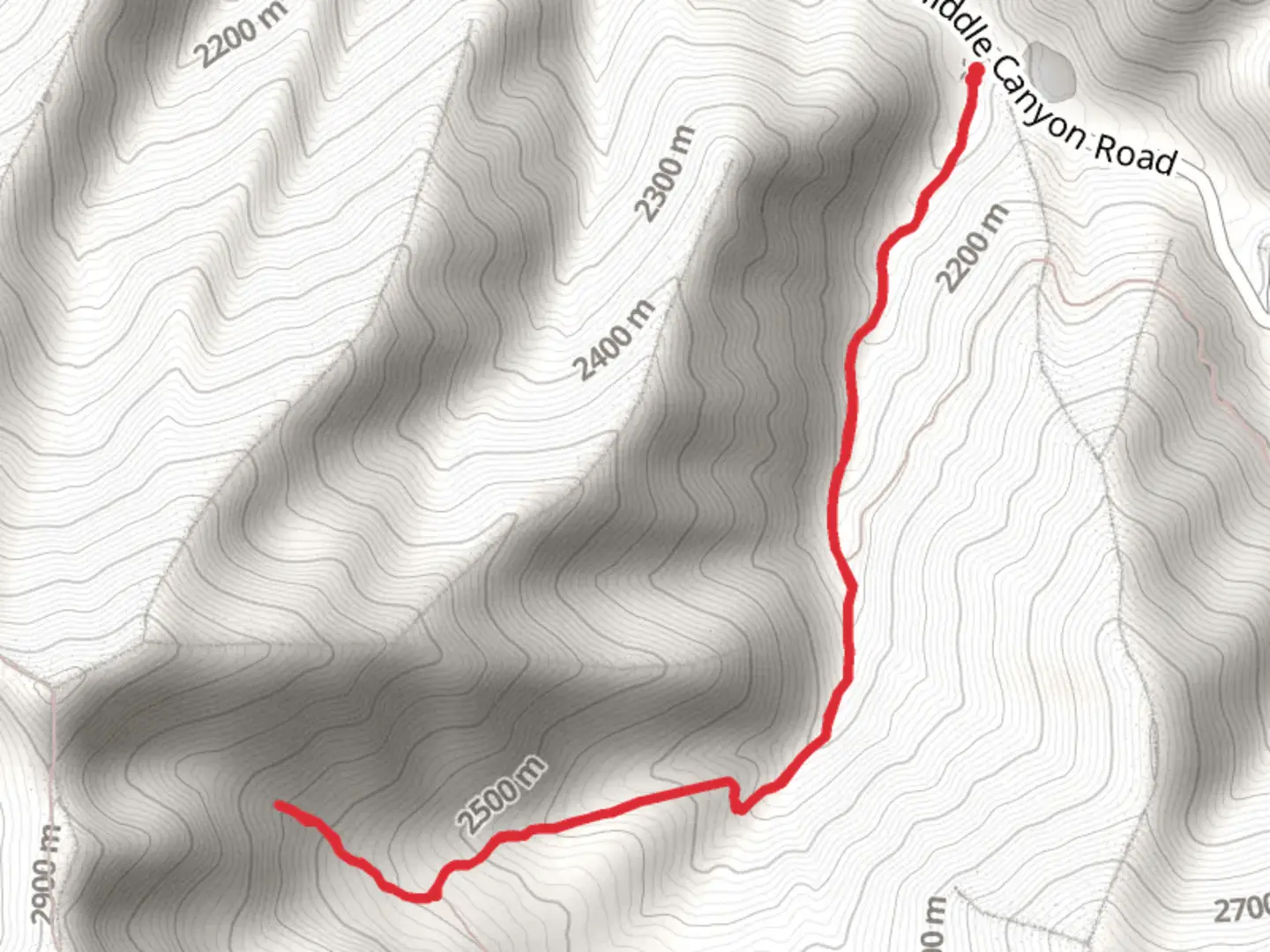
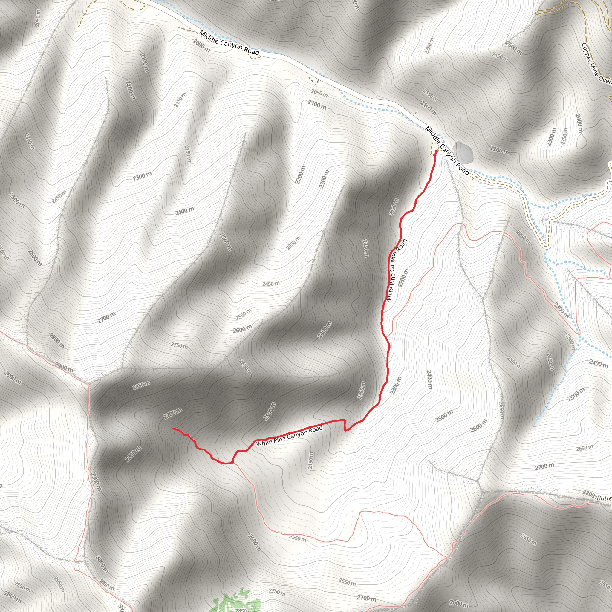
The White Pine Flat Walk is a captivating trail located near Tooele County, Utah. This out-and-back trail spans approximately 6 kilometers (around 3.7 miles) with an elevation gain of about 500 meters (approximately 1,640 feet). Rated as medium difficulty, it offers a rewarding experience for hikers looking to explore the natural beauty and historical significance of the area.### Getting ThereTo reach the trailhead, you can drive or use public transportation. If driving, head towards Tooele County, Utah, and follow signs to the trailhead near the Stansbury Mountains. The nearest significant landmark is the Deseret Peak Wilderness Area. For those using public transport, the closest major city is Salt Lake City. From there, you can take a bus or shuttle service to Tooele County and then a local taxi or rideshare to the trailhead.### Trail OverviewThe trail begins with a gentle ascent through a mixed forest of pine and aspen trees. Early on, you’ll notice the fresh scent of pine and the sound of rustling leaves, setting a serene tone for your hike. The first kilometer (0.6 miles) is relatively easy, with a gradual elevation gain of about 100 meters (328 feet).### Significant Landmarks and NatureAs you progress, the trail becomes steeper, and you’ll encounter a series of switchbacks. Around the 2-kilometer (1.2-mile) mark, you’ll reach a scenic overlook that offers panoramic views of the Tooele Valley and the Great Salt Lake in the distance. This is a great spot to take a break and capture some photos.Continuing on, the trail winds through a denser forest area. Keep an eye out for local wildlife such as mule deer, wild turkeys, and various bird species. The flora here is diverse, with wildflowers blooming in the spring and summer months, adding vibrant colors to the landscape.### Historical SignificanceThe region around White Pine Flat has a rich history. It was once inhabited by the Goshute Native American tribe, who utilized the area for hunting and gathering. In the late 19th century, the region saw an influx of settlers and miners during the Utah mining boom. Remnants of old mining equipment and cabins can still be found off the main trail, offering a glimpse into the past.### Final StretchThe final stretch of the trail is the most challenging, with a steep climb that gains approximately 200 meters (656 feet) in elevation over the last kilometer (0.6 miles). The effort is well worth it, as you’ll be rewarded with stunning views of White Pine Flat, a serene meadow surrounded by towering pine trees. This is an ideal spot for a picnic or simply to rest and enjoy the tranquility.### Navigation and SafetyFor navigation, it’s highly recommended to use the HiiKER app, which provides detailed maps and real-time updates. The trail is well-marked, but having a reliable navigation tool ensures you stay on track. Always carry sufficient water, snacks, and a first-aid kit. Weather can change rapidly in this region, so be prepared with appropriate clothing and gear.The White Pine Flat Walk offers a perfect blend of natural beauty, wildlife, and historical intrigue, making it a must-visit for any hiking enthusiast.
What to expect?
Activity types
Comments and Reviews
User comments, reviews and discussions about the White Pine Flat Walk, Utah.
4.8
average rating out of 5
15 rating(s)
