Download
Preview
Add to list
More
10.7 km
~2 hrs 18 min
101 m
Out and Back
“Immerse yourself in Utah's natural splendor on the rewarding 11 km Mid Valley Trail near Tooele County.”
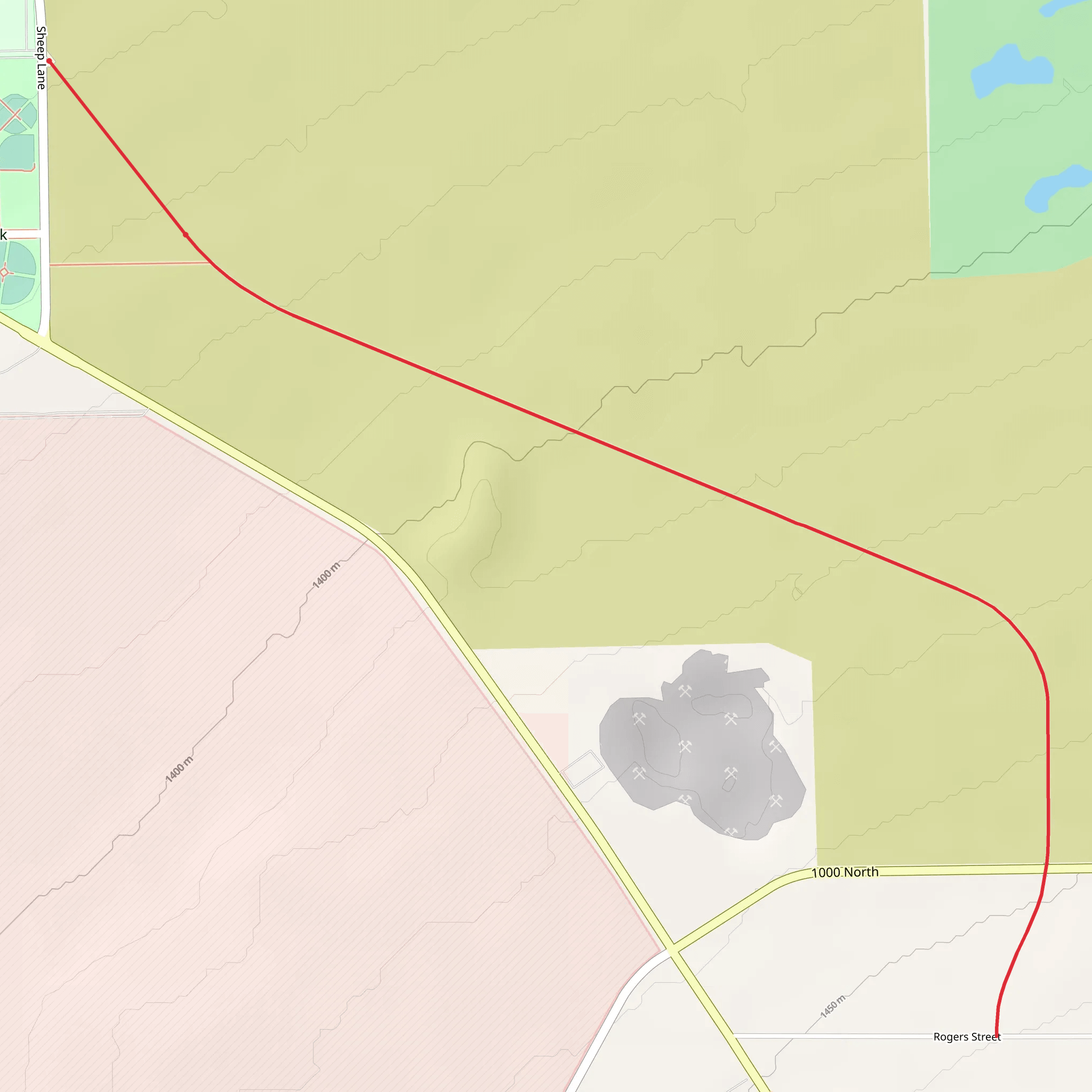
Starting your adventure near Tooele County, Utah, the Mid Valley Trail offers a rewarding 11 km (approximately 6.8 miles) out-and-back journey with an elevation gain of around 100 meters (328 feet). This medium-difficulty trail is perfect for those looking to immerse themselves in the natural beauty of the region while enjoying a moderate workout.### Getting There To reach the trailhead, you can drive or use public transportation. If driving, head towards Tooele County and look for the trailhead near the intersection of Bates Canyon Road and Middle Canyon Road. For those using public transport, the nearest significant landmark is the Tooele Valley Railway Museum. From there, you may need to arrange a taxi or rideshare to the trailhead, as public transport options directly to the trailhead are limited.### Trail Overview The trail begins with a gentle ascent, making it accessible for hikers of various skill levels. As you start, you'll notice the landscape is dotted with sagebrush and juniper trees, typical of the Utah high desert. The first 2 km (1.2 miles) are relatively flat, allowing you to ease into the hike.### Significant Landmarks and Nature Around the 3 km (1.9 miles) mark, you'll encounter a small creek that runs parallel to the trail for a short distance. This is a great spot to take a break and enjoy the sound of flowing water. Keep an eye out for mule deer and various bird species that frequent this area.### Elevation Gain and Scenic Views As you continue, the trail begins to climb more noticeably. By the time you reach the 5 km (3.1 miles) point, you'll have gained most of the 100 meters (328 feet) in elevation. This section offers stunning views of the surrounding valleys and distant mountain ranges. The trail is well-marked, but it's always a good idea to have a reliable navigation tool like HiiKER to ensure you stay on track.### Historical Significance The Mid Valley Trail is steeped in history. The region was once traversed by Native American tribes and later by early settlers and miners. Evidence of these past inhabitants can sometimes be seen in the form of old mining equipment or petroglyphs near the trail. Be respectful and do not disturb these historical artifacts.### Wildlife and Flora As you approach the turnaround point at around 5.5 km (3.4 miles), the trail levels out, and you'll find yourself in a more densely wooded area. This section is home to a variety of wildlife, including foxes, rabbits, and an array of bird species. The flora also changes, with more pine and fir trees providing shade and a cooler environment.### Return Journey The return journey retraces your steps, offering a different perspective on the landscape. The descent is gradual, making for a pleasant and less strenuous hike back to the trailhead. ### Final Tips Ensure you bring plenty of water, especially during the hotter months, as the trail can be quite exposed in certain sections. Wear sturdy hiking boots and consider using trekking poles for added stability. Always check the weather forecast before heading out and let someone know your plans for safety.
What to expect?
Activity types
Comments and Reviews
User comments, reviews and discussions about the Mid Valley Trail, Utah.
4.57
average rating out of 5
14 rating(s)
