Download
Preview
Add to list
More
6.0 km
~1 hrs 56 min
448 m
Out and Back
“Embark on a moderately challenging 6 km hike through diverse landscapes and historical sites near Tooele County, Utah.”
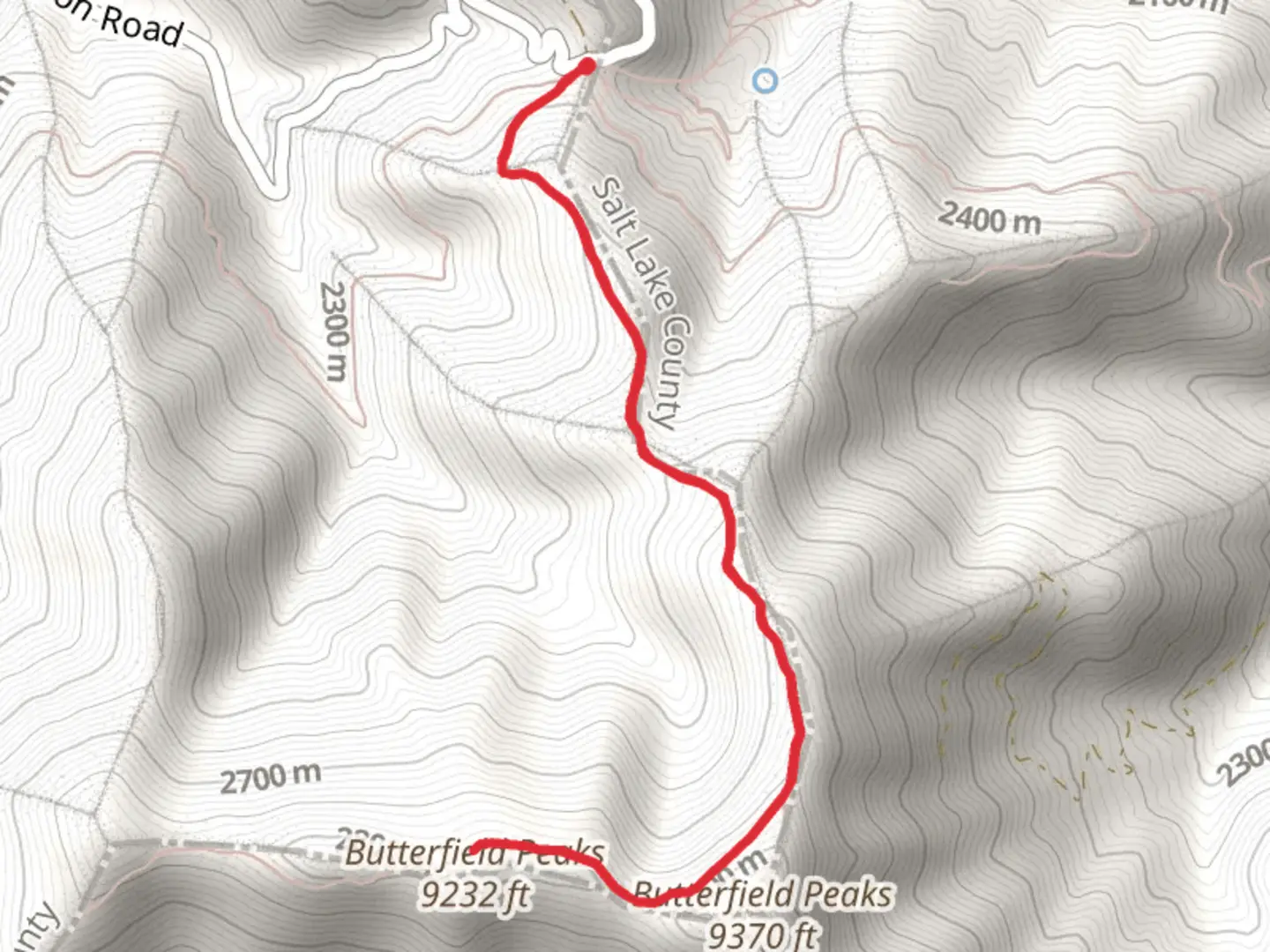
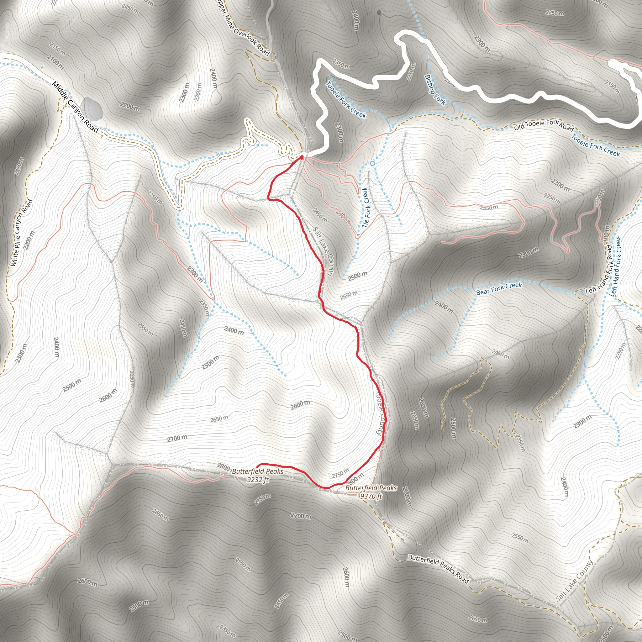
Starting your hike near Tooele County, Utah, the Butterfield Peaks Out and Back trail offers a rewarding journey through diverse landscapes. This trail spans approximately 6 km (3.7 miles) with an elevation gain of around 400 meters (1,312 feet), making it a moderately challenging adventure suitable for hikers with some experience.### Getting There To reach the trailhead, you can drive or use public transportation. If driving, head towards the Butterfield Canyon Road, which is accessible from the nearby town of Herriman. The nearest significant landmark is the Butterfield Canyon Trailhead Parking Lot. For those using public transport, the closest bus stop is in Herriman, from where you can arrange a taxi or rideshare to the trailhead.### Trail Overview The trail begins with a gentle ascent through a mixed forest of pine and aspen trees. Early in the hike, you'll notice the serene sounds of Butterfield Creek, which runs parallel to the trail for the first kilometer (0.6 miles). This section is relatively shaded, providing a cool start to your journey.### Key Landmarks and Points of Interest At approximately 2 km (1.2 miles) into the hike, you'll reach a clearing that offers your first panoramic view of the surrounding peaks. This is a great spot to take a short break and hydrate. Continuing on, the trail becomes steeper as you approach the mid-point, gaining elevation more rapidly.Around the 3 km (1.8 miles) mark, you'll encounter a rocky outcrop known locally as "Eagle's Perch." This natural formation provides an excellent vantage point for birdwatching, particularly for spotting eagles and hawks that frequent the area.### Flora and Fauna The Butterfield Peaks area is rich in biodiversity. Depending on the season, you might see wildflowers such as Indian paintbrush and lupine. Wildlife sightings can include mule deer, elk, and occasionally black bears, so it's advisable to carry bear spray and make noise to avoid surprising any animals.### Historical Significance The region around Butterfield Peaks has historical significance dating back to the early settlers and miners of Utah. Butterfield Canyon itself was a route used during the 19th century for transporting ore from the nearby mines. Remnants of old mining equipment and structures can still be seen along the trail, adding a historical dimension to your hike.### Navigation and Safety Given the moderate difficulty of the trail, it's essential to be prepared. Use the HiiKER app for accurate navigation and to stay updated on trail conditions. The trail is well-marked, but weather can change rapidly, so check forecasts and dress in layers. Carry sufficient water, snacks, and a first aid kit.### Final Stretch As you approach the turnaround point at the 3 km (1.8 miles) mark, you'll be rewarded with stunning views of the Salt Lake Valley and the Oquirrh Mountains. This is a perfect spot for a picnic before heading back the way you came. The descent offers a different perspective and is generally easier on the legs, allowing you to enjoy the scenery more leisurely.By the time you return to the trailhead, you will have experienced a diverse range of landscapes, historical sites, and possibly some local wildlife, making the Butterfield Peaks Out and Back trail a memorable adventure.
What to expect?
Activity types
Comments and Reviews
User comments, reviews and discussions about the Butterfield Peaks Out and Back, Utah.
4.44
average rating out of 5
16 rating(s)
