Download
Preview
Add to list
More
7.6 km
~1 hrs 59 min
279 m
Loop
“Embark on a scenic 8 km loop through lush landscapes, historical remnants, and vibrant wildlife near Summit County.”
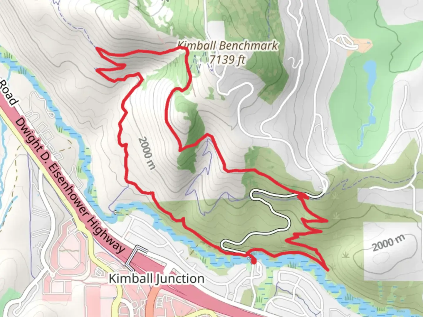
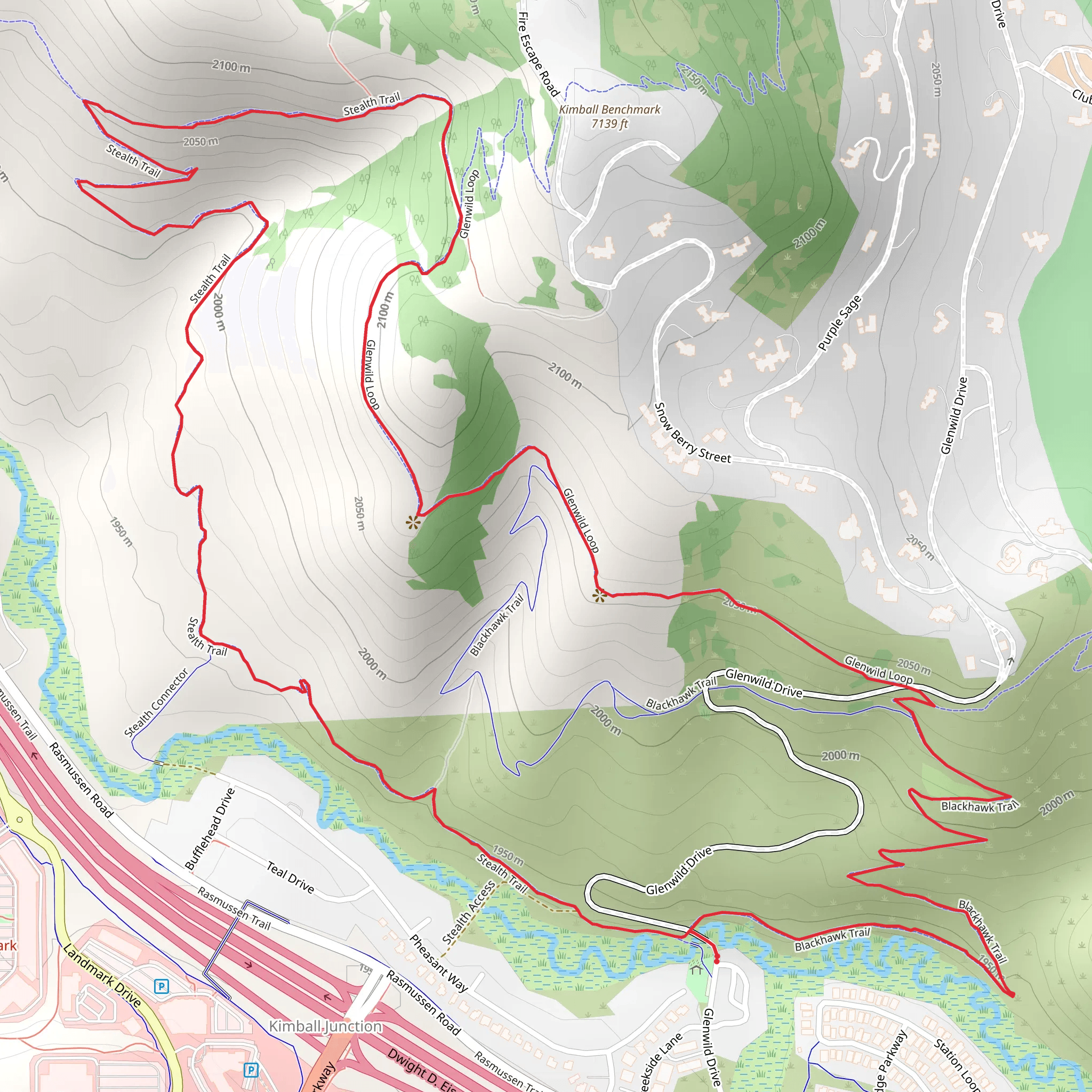
Starting near Summit County, Utah, the Stealth Trail, Glenwild Loop, and Blackhawk Trail offer a captivating 8 km (approximately 5 miles) loop with an elevation gain of around 200 meters (656 feet). This medium-difficulty trail is perfect for those looking to experience the natural beauty and historical richness of the area.### Getting There To reach the trailhead, you can drive or use public transport. If driving, head towards the Glenwild Drive area in Park City, Utah. The nearest significant landmark is the Glenwild Golf Club, located at 7600 Glenwild Dr, Park City, UT 84098. For those using public transport, the Park City Transit system offers routes that can get you close to the trailhead. From the transit stop, it's a short walk to the starting point.### Trail Navigation For navigation, it's highly recommended to use the HiiKER app, which provides detailed maps and real-time updates. The trail is well-marked, but having a reliable navigation tool will enhance your experience and ensure you stay on track.### Trail Highlights
Stealth Trail
Starting from the trailhead near Glenwild Drive, the Stealth Trail takes you through a serene landscape filled with native flora. Early in the hike, you'll encounter a gentle ascent, gaining about 100 meters (328 feet) in elevation over the first 2 km (1.2 miles). This section is characterized by its lush vegetation and occasional sightings of local wildlife, such as mule deer and various bird species.#### Glenwild Loop As you transition onto the Glenwild Loop, the trail levels out, offering a more relaxed hike. This section is approximately 3 km (1.8 miles) long and provides panoramic views of the surrounding mountains and valleys. The Glenwild Loop is particularly known for its wildflowers in the spring and summer months, making it a picturesque segment of the hike.#### Blackhawk Trail The final segment, the Blackhawk Trail, involves a descent back towards the trailhead. This 3 km (1.8 miles) stretch includes a mix of open meadows and shaded forest areas. The descent is gradual, making it a comfortable end to the hike. Along this trail, you'll find interpretive signs that provide insights into the area's history and ecology.### Historical Significance The region around Summit County has a rich history, dating back to the early Native American tribes who originally inhabited the area. Later, during the 19th century, it became a hub for mining activities. Remnants of old mining equipment and structures can still be seen along parts of the trail, offering a glimpse into the past.### Wildlife and Nature The trail is home to a diverse range of wildlife. Keep an eye out for mule deer, foxes, and a variety of bird species. The flora is equally impressive, with sagebrush, aspen, and conifer trees dominating the landscape. During the spring and summer, the trail is adorned with wildflowers, adding vibrant colors to your hike.### Preparation Tips Given the medium difficulty rating, it's advisable to wear sturdy hiking boots and bring plenty of water, especially during the warmer months. The trail can be quite exposed in certain sections, so sun protection is also recommended. Always check the weather forecast before heading out and be prepared for sudden changes in weather conditions.By following these guidelines and using the HiiKER app for navigation, you'll be well-prepared to enjoy the Stealth Trail, Glenwild Loop, and Blackhawk Trail to the fullest.
What to expect?
Activity types
Comments and Reviews
User comments, reviews and discussions about the Stealth Trail, Glenwild Loop and Blackhawk Trail, Utah.
4.52
average rating out of 5
21 rating(s)
