Download
Preview
Add to list
More
11.0 km
~3 hrs 6 min
547 m
Loop
“Explore Summit County's 11 km RTS, Iron Bill, and Legacy Ridge Loop for scenic views and historical intrigue.”
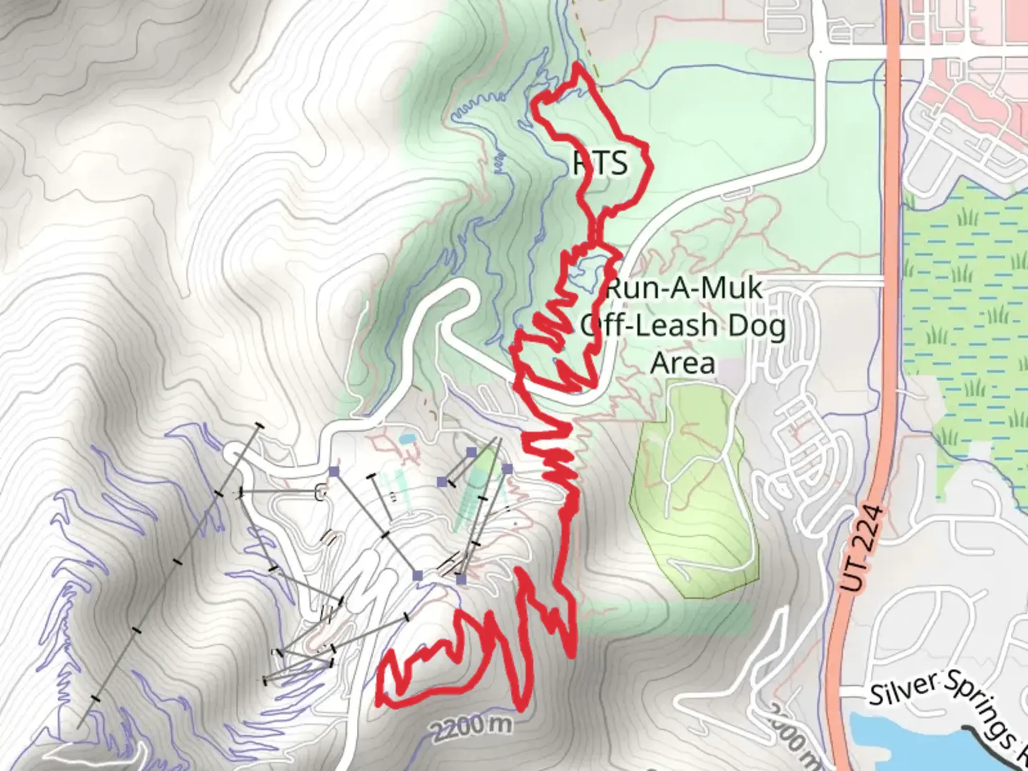
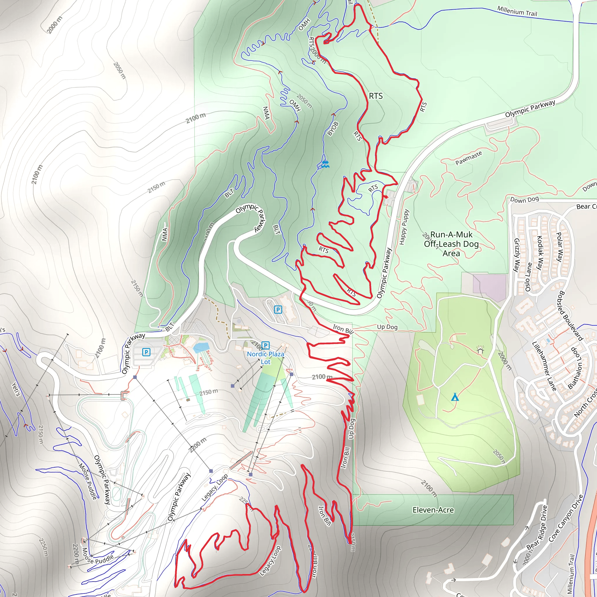
Starting near Summit County, Utah, the RTS, Iron Bill, and Legacy Ridge Loop is a captivating 11 km (approximately 6.8 miles) trail with an elevation gain of around 500 meters (1,640 feet). This loop trail is rated as medium difficulty, making it suitable for moderately experienced hikers.### Getting There To reach the trailhead, you can drive or use public transport. If driving, head towards Summit County, Utah, and look for parking near the trailhead, which is close to the well-known landmark of the Uinta-Wasatch-Cache National Forest. For those using public transport, the nearest bus stop is at Park City, from where you can take a local taxi or rideshare service to the trailhead.### Trail Navigation For navigation, it is highly recommended to use the HiiKER app, which provides detailed maps and real-time updates. This will help you stay on track and make the most of your hiking experience.### Trail Highlights The trail begins with a gentle ascent, offering panoramic views of the surrounding forest and mountains. As you progress, you'll encounter the first significant landmark, the Iron Bill Ridge, at around 3 km (1.9 miles) into the hike. This ridge provides stunning vistas and is an excellent spot for a short break.### Flora and Fauna The trail is rich in biodiversity. You'll traverse through dense forests of pine and aspen, and during spring and summer, the area is adorned with wildflowers like lupines and Indian paintbrush. Wildlife is abundant; keep an eye out for deer, elk, and various bird species, including hawks and woodpeckers.### Historical Significance The region has a rich history, with remnants of old mining operations visible along the trail. These mines date back to the late 19th and early 20th centuries when the area was a bustling hub for silver and lead mining. Informational plaques along the trail provide insights into the historical significance of these sites.### Midpoint and Elevation Gain At around the 5.5 km (3.4 miles) mark, you'll reach the highest point of the trail, Legacy Ridge. This section offers a challenging ascent but rewards you with breathtaking views of the Wasatch Range. The elevation gain here is approximately 250 meters (820 feet) from the trailhead.### Descent and Return The descent begins after Legacy Ridge, leading you back through a series of switchbacks. This part of the trail is less strenuous and allows for a leisurely hike back to the starting point. Along the way, you'll pass through meadows and small streams, perfect for a refreshing pause.### Final Stretch The last 2 km (1.2 miles) of the trail are relatively flat, making for an easy finish. As you approach the trailhead, you'll pass by a small lake, a serene spot to reflect on your hike and perhaps enjoy a picnic.This loop trail offers a balanced mix of natural beauty, historical intrigue, and moderate physical challenge, making it a must-visit for hikers in the Summit County area.
What to expect?
Activity types
Comments and Reviews
User comments, reviews and discussions about the RTS, Iron Bill and Legacy Ridge Loop, Utah.
4.4
average rating out of 5
10 rating(s)
