Download
Preview
Add to list
More
9.7 km
~3 hrs 4 min
682 m
Loop
“Discover natural beauty and history on Utah's 10 km Road to WOS and Short Stack trail.”
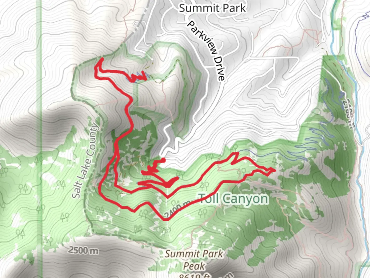
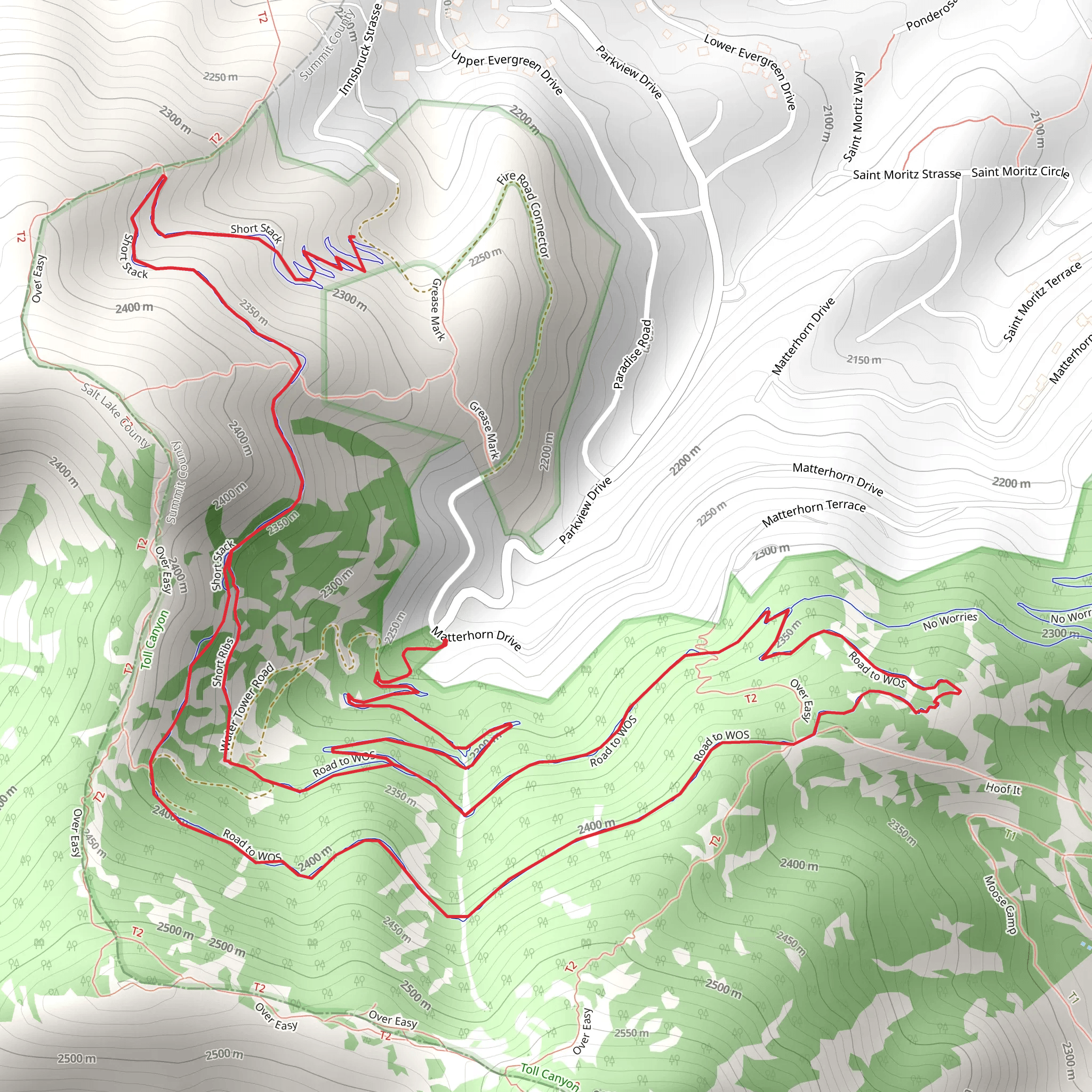
Starting your adventure near Summit County, Utah, the Road to WOS and Short Stack trail offers a captivating 10 km (6.2 miles) loop with an elevation gain of approximately 600 meters (1,968 feet). This medium-difficulty trail is perfect for those looking to experience the natural beauty and historical richness of the area.### Getting There To reach the trailhead, you can drive or use public transport. If driving, head towards Summit County, Utah, and look for parking near the well-known landmark, the Uinta-Wasatch-Cache National Forest entrance. For those using public transport, the nearest bus stop is at Park City Transit Center. From there, you can take a local taxi or rideshare service to the trailhead.### Trail Overview The trail begins with a gentle ascent through a dense forest of aspen and pine trees. After about 1.5 km (0.9 miles), you’ll encounter a small, serene meadow, perfect for a quick rest or photo opportunity. As you continue, the trail becomes steeper, gaining elevation more rapidly.### Significant Landmarks At around the 3 km (1.9 miles) mark, you’ll reach a rocky outcrop known as "Eagle’s Perch." This spot offers panoramic views of the surrounding valleys and is a popular place for birdwatching. Keep an eye out for golden eagles and red-tailed hawks soaring above.### Historical Significance Approximately 5 km (3.1 miles) into the hike, you’ll come across remnants of old mining equipment. This area was once part of the historic silver mining operations that boomed in the late 19th century. Informational plaques provide context and history, making it a great educational stop.### Wildlife and Flora The trail is home to a variety of wildlife, including mule deer, elk, and occasionally black bears. The flora is equally diverse, with wildflowers such as lupine and Indian paintbrush blooming in the spring and summer months. ### Navigation Given the trail's moderate difficulty and varied terrain, it’s advisable to use a reliable navigation tool like HiiKER to stay on track. The app provides detailed maps and real-time updates, ensuring you don’t miss any key turns or landmarks.### Final Stretch The final 2 km (1.2 miles) of the trail loop back towards the starting point, descending through a series of switchbacks. This section offers stunning views of the Uinta Mountains, especially during sunset. ### Preparation Tips Given the elevation gain and length, make sure to bring plenty of water, snacks, and a first-aid kit. Weather can change rapidly in this region, so layers and a waterproof jacket are recommended. This trail offers a balanced mix of natural beauty, historical intrigue, and moderate physical challenge, making it a rewarding experience for hikers of all levels.
What to expect?
Activity types
Comments and Reviews
User comments, reviews and discussions about the Road to WOS and Short Stack, Utah.
4.31
average rating out of 5
13 rating(s)
