Download
Preview
Add to list
More
7.1 km
~2 hrs 14 min
488 m
Loop
“"Experience a rewarding 7 km hike with scenic views, historical landmarks, and diverse wildlife near Park City."”
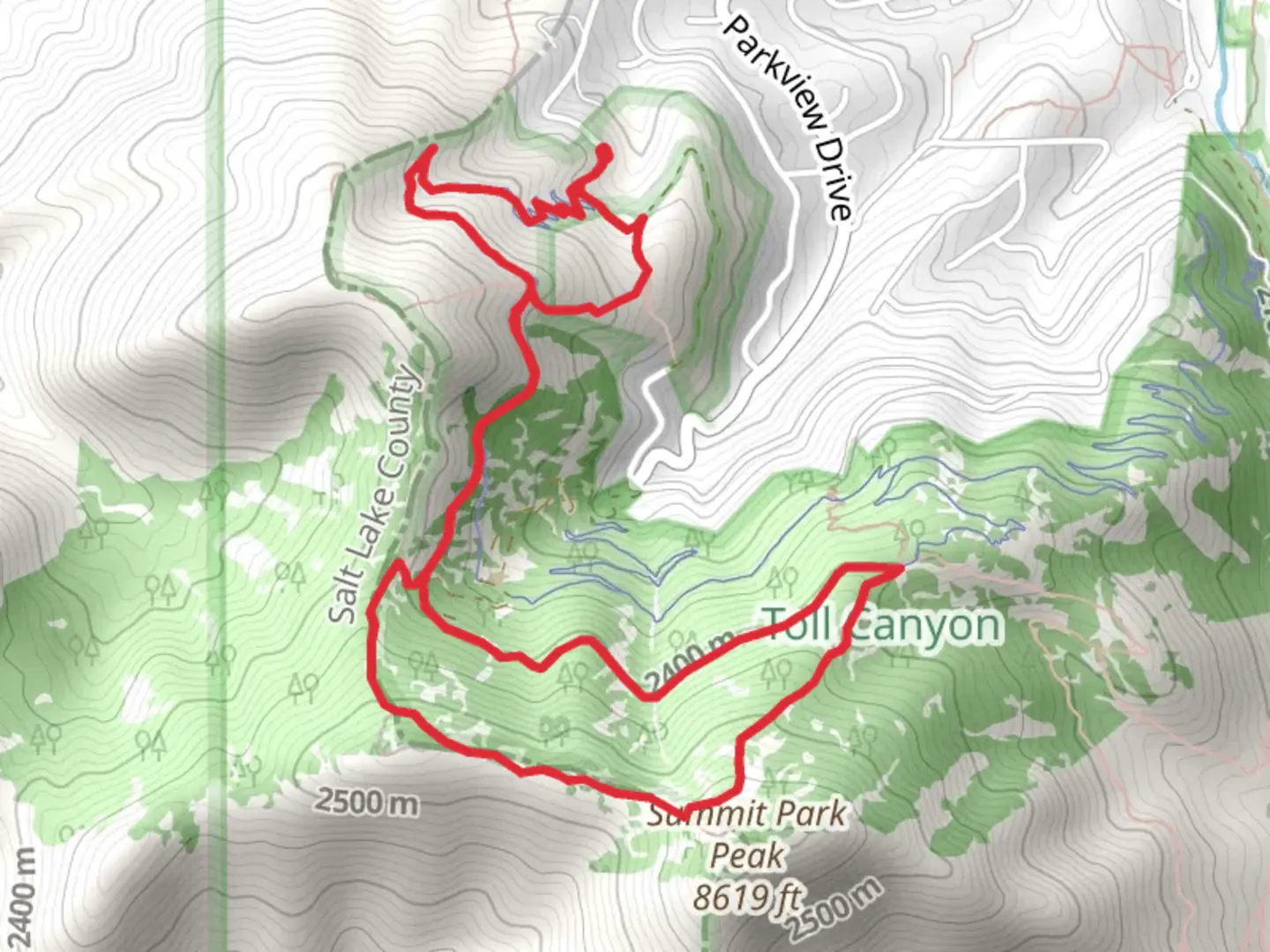
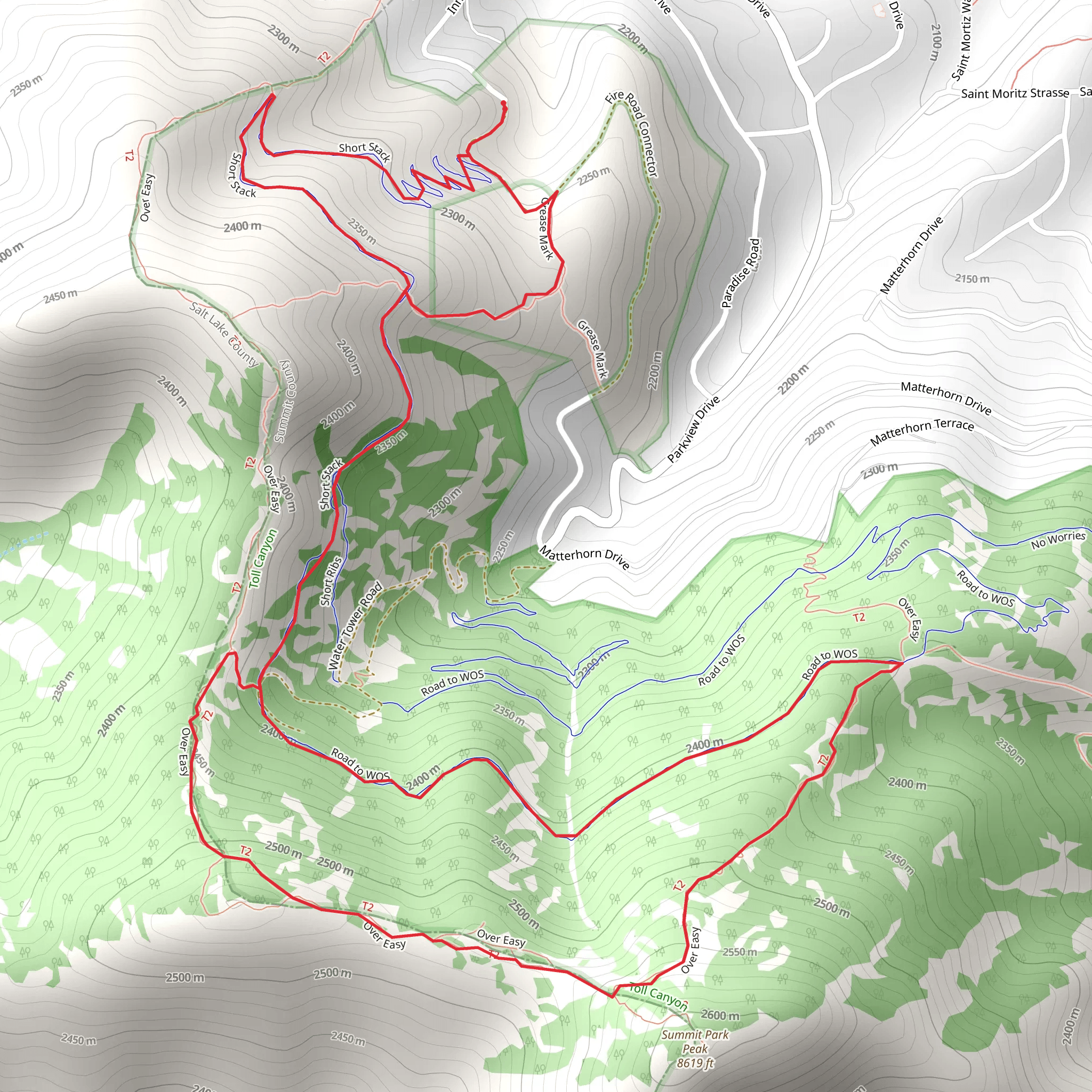
Starting near Summit County, Utah, the Road to WOS and Over Easy Loop is a captivating 7 km (4.35 miles) trail with an elevation gain of approximately 400 meters (1,312 feet). This loop trail is rated as medium difficulty, making it suitable for moderately experienced hikers looking for a rewarding adventure.### Getting There To reach the trailhead, you can drive or use public transport. If driving, head towards Summit County, Utah, and look for parking near the trailhead, which is conveniently located close to the town of Park City. For those using public transport, Park City Transit offers bus services that can drop you off near the trailhead. The nearest significant landmark is the Park City Mountain Resort, which is a short distance away.### Trail Overview The trail begins with a gentle ascent, allowing you to warm up before tackling the more challenging sections. As you start, you'll be surrounded by a mix of aspen and pine trees, providing ample shade and a serene atmosphere. The first 1.5 km (0.93 miles) of the trail features a gradual incline, gaining about 100 meters (328 feet) in elevation.### Key Landmarks and Sections
Road to WOS
Around the 2 km (1.24 miles) mark, you'll reach a fork where the Road to WOS trail diverges. This section is known for its rocky terrain and steeper inclines, gaining another 150 meters (492 feet) over the next 1.5 km (0.93 miles). Keep an eye out for the unique rock formations and occasional wildlife sightings, including deer and various bird species.#### Over Easy Loop At approximately 3.5 km (2.17 miles), you'll transition onto the Over Easy Loop. This part of the trail offers a more relaxed hike with rolling hills and open meadows. The elevation gain here is more moderate, adding about 150 meters (492 feet) over the next 2 km (1.24 miles). The meadows are particularly beautiful in the spring and summer, filled with wildflowers and offering panoramic views of the surrounding mountains.### Historical Significance The region around Summit County has a rich history, particularly related to mining. In the late 19th and early 20th centuries, Park City was a booming mining town. As you hike, you may come across remnants of old mining equipment and structures, offering a glimpse into the area's past. The trail itself passes near some of these historical sites, adding an educational element to your hike.### Navigation and Safety Given the moderate difficulty of the trail, it's advisable to use a reliable navigation tool like HiiKER to keep track of your progress and ensure you stay on the correct path. The trail is well-marked, but having a digital map can be incredibly useful, especially in areas where the path may be less clear.### Flora and Fauna The trail is home to a diverse range of flora and fauna. In addition to the aspen and pine trees, you'll find various shrubs and wildflowers. Wildlife is abundant, so keep your eyes peeled for deer, foxes, and a variety of bird species. It's also not uncommon to spot smaller mammals like squirrels and chipmunks.### Final Stretch The last 1.5 km (0.93 miles) of the trail descends back towards the trailhead, offering a gentle cooldown as you make your way back. This section is relatively easy, allowing you to enjoy the final moments of your hike without too much exertion.This trail offers a balanced mix of challenging climbs, scenic views, and historical intrigue, making it a must-visit for any hiking enthusiast in the Summit County area.
What to expect?
Activity types
Comments and Reviews
User comments, reviews and discussions about the Road to WOS and Over Easy Loop, Utah.
4.62
average rating out of 5
21 rating(s)
