Download
Preview
Add to list
More
29.1 km
~1 day 1 hrs
631 m
Out and Back
“Embark on a moderately challenging 29 km hike through forested ascents, scenic meadows, and historic sites, culminating at stunning Gilbert Lake.”
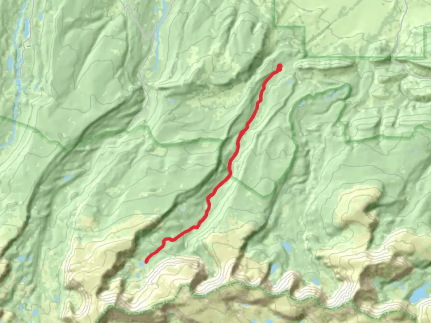
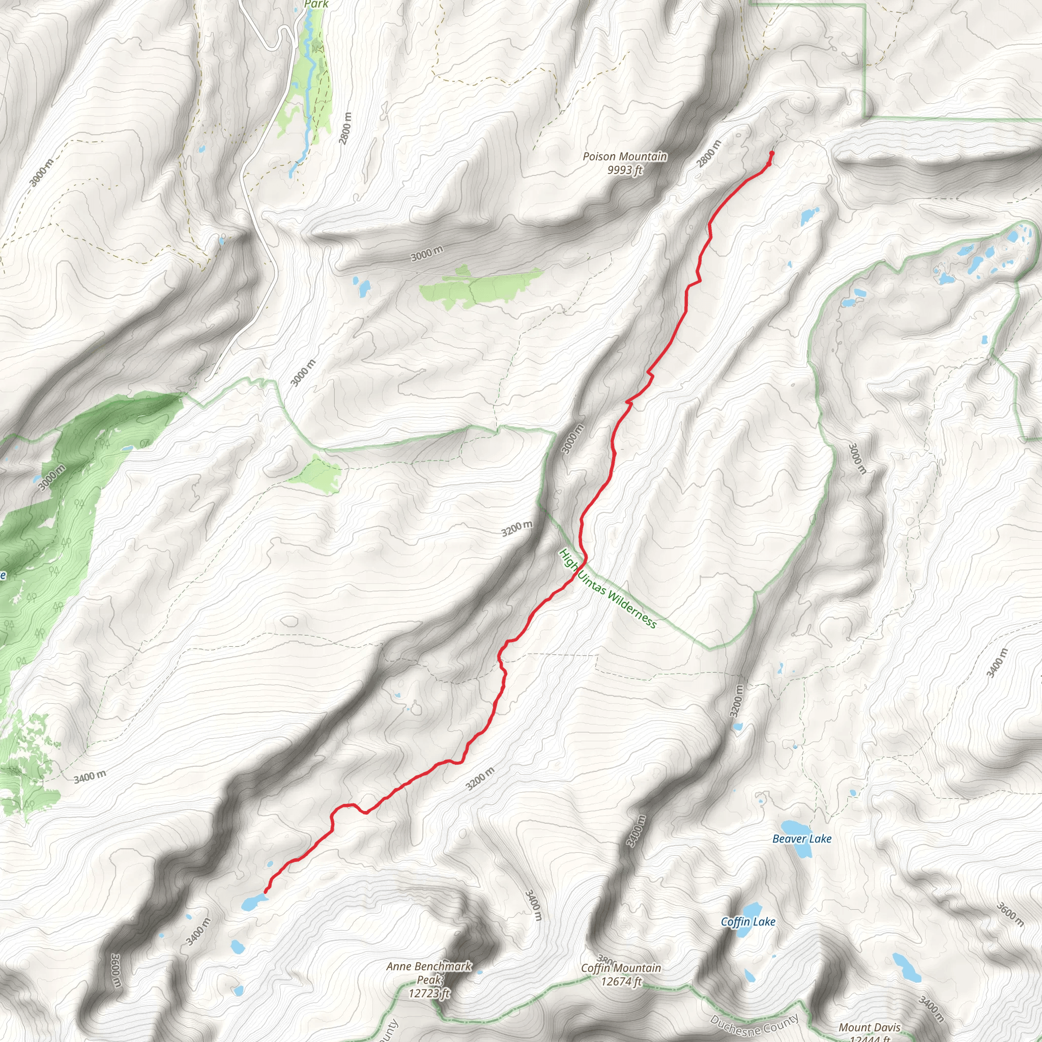
Starting your journey near Summit County, Utah, the trailhead for the Gilbert Lake via West Fork Beaver Trail is accessible by car. If you're using public transport, the nearest significant landmark is the town of Kamas, Utah. From Kamas, you can take a local shuttle or taxi service to the trailhead.
The trail spans approximately 29 kilometers (18 miles) with an elevation gain of around 600 meters (1,970 feet). This out-and-back trail is rated as medium difficulty, making it suitable for moderately experienced hikers.
Initial Ascent and Forested Sections The first segment of the trail involves a gradual ascent through dense forest. You'll be surrounded by towering pines and aspens, providing ample shade and a cool environment, especially during the summer months. The initial 5 kilometers (3 miles) will see you gaining about 150 meters (490 feet) in elevation. Keep an eye out for deer and elk, which are commonly spotted in this area.
Mid-Trail Meadows and Streams As you progress, the trail opens up into expansive meadows around the 10-kilometer (6-mile) mark. These meadows are often dotted with wildflowers in the spring and early summer. The West Fork Beaver Creek runs parallel to the trail for a significant portion, offering opportunities to refill your water supply. Make sure to use a water filter or purification tablets.
Historical Significance Around the 15-kilometer (9-mile) point, you'll come across remnants of old mining operations. This area was historically significant during the late 19th century when miners flocked to the region in search of precious metals. Some old mining equipment and structures can still be seen, offering a glimpse into the past.
Final Ascent to Gilbert Lake The last stretch involves a steeper ascent as you approach Gilbert Lake. This section covers approximately 4 kilometers (2.5 miles) with an elevation gain of about 200 meters (650 feet). The trail becomes rockier, so sturdy hiking boots are recommended. As you near the lake, the tree line thins out, providing panoramic views of the surrounding peaks.
Gilbert Lake Upon reaching Gilbert Lake, you'll be rewarded with stunning alpine scenery. The lake is nestled in a basin surrounded by rugged cliffs and peaks. It's a great spot for a picnic or a short rest before heading back. The clear waters of the lake reflect the sky and surrounding mountains, making it a perfect photo opportunity.
Wildlife and Flora Throughout the hike, you'll encounter a variety of wildlife, including marmots, pikas, and various bird species. The flora is equally diverse, with different types of wildflowers, shrubs, and trees depending on the elevation and season.
Navigation and Safety For navigation, it's highly recommended to use the HiiKER app, which provides detailed maps and real-time updates. The trail is well-marked, but having a reliable navigation tool will ensure you stay on track.
Return Journey The return journey follows the same path, allowing you to revisit the beautiful landscapes and perhaps notice details you missed on the way up. Make sure to leave no trace and pack out all your trash to preserve the natural beauty of the area.
This trail offers a mix of forested paths, open meadows, historical sites, and stunning alpine views, making it a rewarding experience for those willing to take on its moderate challenges.
What to expect?
Activity types
Comments and Reviews
User comments, reviews and discussions about the Gilbert Lake via West Fork Beaver Trail, Utah.
4.38
average rating out of 5
13 rating(s)
