Download
Preview
Add to list
More
26.5 km
~1 day 1 hrs
754 m
Loop
“Embark on a 26 km adventure through Utah's diverse landscapes, rich history, and panoramic mountain views.”
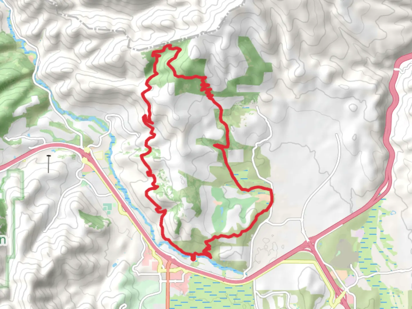
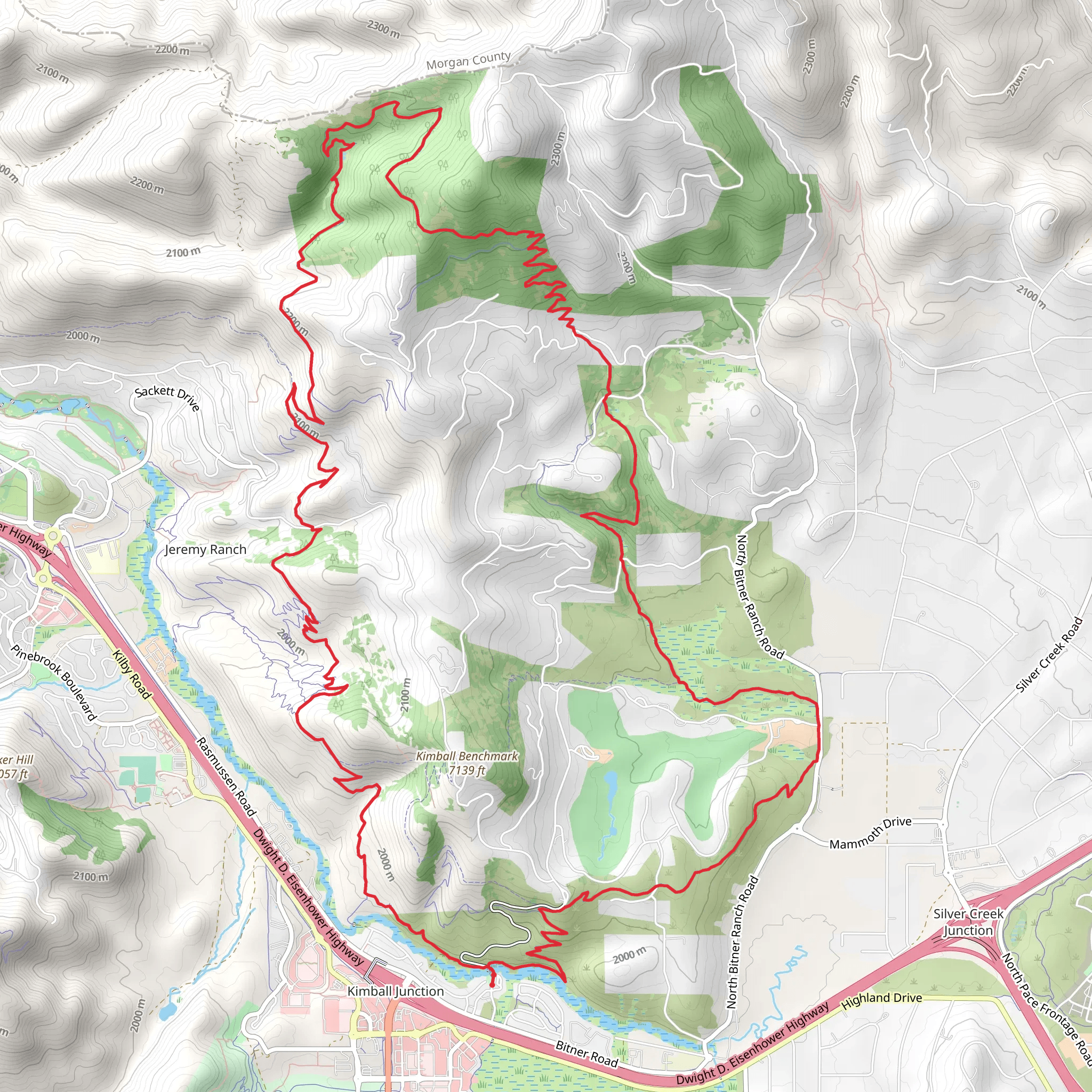
Starting your adventure near Summit County, Utah, the Blackhawk Trail and Stealth Loop Trail offers a captivating 26 km (16 miles) journey with an elevation gain of approximately 700 meters (2,300 feet). This loop trail is rated medium in difficulty, making it suitable for moderately experienced hikers.### Getting There To reach the trailhead, you can drive or use public transportation. If driving, head towards the nearest significant landmark, which is the town of Kamas, Utah. From Kamas, take the Mirror Lake Highway (UT-150) and follow the signs to the trailhead parking area. For those using public transport, the closest bus stop is in Kamas, from where you can arrange a taxi or rideshare to the trailhead.### Trail Overview The trail begins with a gentle ascent through a dense forest of aspen and pine trees. The first 5 km (3 miles) are relatively easy, with an elevation gain of about 150 meters (500 feet). This section is perfect for warming up and getting accustomed to the terrain. Keep an eye out for deer and elk, which are commonly seen in this area.### Significant Landmarks Around the 8 km (5 miles) mark, you'll encounter the first significant landmark: a stunning viewpoint overlooking the Uinta Mountains. This is a great spot to take a break and enjoy the panoramic views. The elevation here is approximately 2,500 meters (8,200 feet).Continuing on, the trail becomes steeper as you approach the halfway point. At around 13 km (8 miles), you'll reach the highest point of the trail at approximately 2,800 meters (9,200 feet). Here, you'll find a small alpine lake, perfect for a quick rest and some photos. The area is also known for its wildflowers, especially in late spring and early summer.### Historical Significance The region has a rich history, with evidence of Native American tribes who once roamed these lands. Artifacts and ancient campsites have been discovered in the area, adding a layer of historical intrigue to your hike. The trail also passes near old mining sites from the late 19th and early 20th centuries, remnants of Utah's mining boom.### Wildlife and Nature As you descend, the trail meanders through meadows and forests, offering opportunities to spot various wildlife, including marmots, hawks, and occasionally black bears. The descent is more gradual, with an elevation loss of about 550 meters (1,800 feet) over the next 10 km (6 miles).### Navigation Given the trail's length and varying terrain, it's advisable to use a reliable navigation tool like HiiKER to ensure you stay on track. The app provides detailed maps and real-time updates, which can be particularly useful in the more remote sections of the trail.### Final Stretch The last 3 km (2 miles) of the trail bring you back through a serene forest, eventually leading you to the trailhead. This section is relatively flat, allowing you to cool down and reflect on the diverse landscapes and historical sites you've encountered.Prepare well, bring plenty of water, and enjoy the diverse beauty and rich history that the Blackhawk Trail and Stealth Loop Trail have to offer.
What to expect?
Activity types
Comments and Reviews
User comments, reviews and discussions about the Blackhawk Trail and Stealth Loop Trail, Utah.
4.6
average rating out of 5
15 rating(s)
