Download
Preview
Add to list
More
13.7 km
~3 hrs 29 min
455 m
Loop
“The Blackhawk Trail and Glenwild Loop is a medium-difficulty 14 km hike rich in natural beauty, wildlife, and history.”
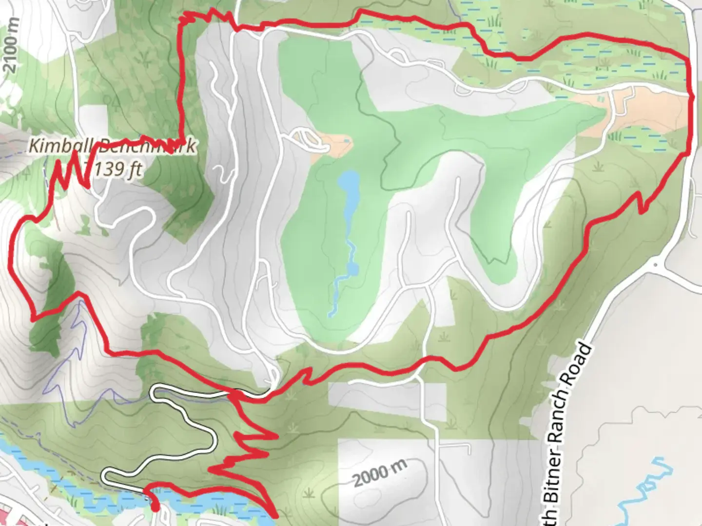
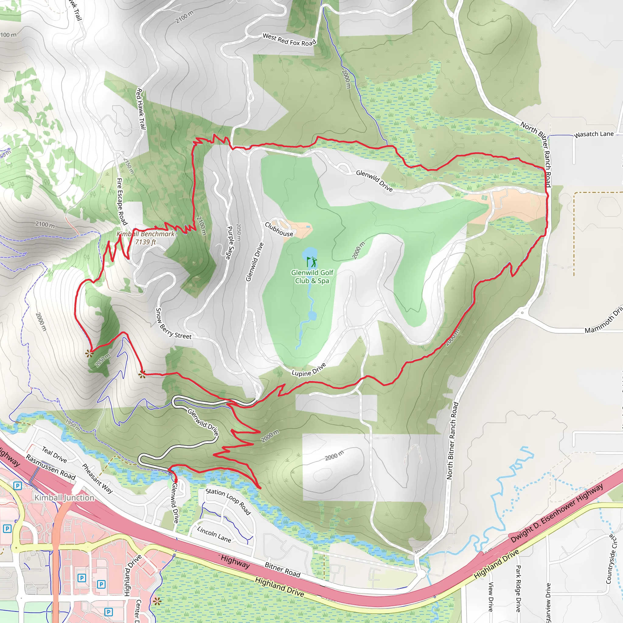
Starting near Summit County, Utah, the Blackhawk Trail and Glenwild Loop is a scenic 14 km (8.7 miles) loop with an elevation gain of approximately 400 meters (1,312 feet). This medium-difficulty trail offers a blend of natural beauty, wildlife, and historical significance, making it a rewarding experience for hikers.### Getting There To reach the trailhead, you can drive or use public transportation. If driving, head towards the Glenwild Drive area in Park City, Utah. The nearest significant landmark is the Glenwild Golf Club, located at 7600 Glenwild Dr, Park City, UT 84098. For those using public transport, the Park City Transit system offers routes that can get you close to the trailhead. From the transit stop, it's a short walk to the starting point.### Trail Overview The trail begins with a gentle ascent through a mixed forest of aspen and pine, providing ample shade and a cool environment, especially during the summer months. Early on, you'll encounter a series of switchbacks that gradually increase in elevation. After about 2 km (1.2 miles), you'll reach a small clearing with panoramic views of the surrounding valleys and mountains.### Significant Landmarks and Points of Interest At approximately 4 km (2.5 miles) into the hike, you'll come across an old mining cabin, a relic from the late 19th century when the area was bustling with mining activity. This spot is perfect for a short break and some exploration. The cabin is a reminder of the region's rich history and the challenges faced by early settlers and miners.Continuing on, the trail meanders through meadows filled with wildflowers during the spring and summer months. Keep an eye out for local wildlife such as mule deer, elk, and a variety of bird species. The trail then descends into a lush valley, where you'll cross a small creek. This section can be muddy after rain, so waterproof boots are recommended.### Navigation and Safety The trail is well-marked, but it's always a good idea to have a reliable navigation tool. The HiiKER app is highly recommended for this purpose, as it provides detailed maps and real-time GPS tracking. Make sure to download the trail map before you start, as cell service can be spotty in some areas.### Final Stretch As you approach the final 3 km (1.9 miles) of the loop, the trail climbs again, offering more stunning views of the Wasatch Range. This section is more exposed, so sun protection is essential. The descent back to the trailhead is gradual and offers a pleasant end to the hike.### Historical Significance The Blackhawk Trail and Glenwild Loop traverses areas that were once significant for Native American tribes and later for miners during the silver boom of the late 1800s. The remnants of mining activity, including the old cabin and scattered mining equipment, provide a tangible connection to the past.This trail offers a balanced mix of natural beauty, wildlife, and historical intrigue, making it a must-visit for hikers in the Summit County area.
What to expect?
Activity types
Comments and Reviews
User comments, reviews and discussions about the Blackhawk Trail and Glenwild Loop, Utah.
4.65
average rating out of 5
17 rating(s)
