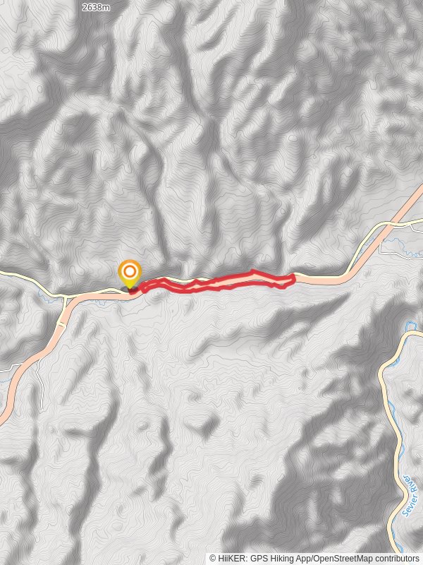
Sam Stowe Canyon and Clear Creek Loop
8.2 km
~2 hrs 8 min
298 m
“Explore the rich geology, diverse wildlife, and ancient petroglyphs on the moderately challenging Sam Stowe Canyon and Clear Creek Loop.”
Starting near Sevier County, Utah, the Sam Stowe Canyon and Clear Creek Loop is an 8 km (approximately 5 miles) trail with an elevation gain of around 200 meters (656 feet). This loop trail is rated as medium difficulty, making it suitable for moderately experienced hikers.### Getting There
To reach the trailhead, you can drive to the vicinity of Fremont Indian State Park and Museum, located off Interstate 70. If you're using public transport, the nearest major town is Richfield, Utah. From Richfield, you can take a taxi or rideshare service to the park. The trailhead is conveniently located near the museum, which also offers parking facilities.### Trail Navigation
For navigation, it's highly recommended to use HiiKER, which provides detailed maps and real-time updates. The trail is well-marked, but having a reliable navigation tool will enhance your hiking experience.### Trail Highlights
The trail begins with a gentle ascent through Sam Stowe Canyon. As you hike, you'll notice the rich geological formations that characterize this region. The canyon walls are adorned with layers of sedimentary rock, offering a glimpse into the area's ancient past.#### Flora and Fauna
The trail is home to a diverse range of plant and animal life. You’ll encounter pinyon pines, junipers, and various shrubs typical of the high desert environment. Wildlife sightings may include mule deer, rabbits, and a variety of bird species such as hawks and eagles.### Historical Significance
One of the most fascinating aspects of this trail is its historical significance. The area around Fremont Indian State Park is rich in Native American history. The Fremont people, who lived in this region over a thousand years ago, left behind numerous petroglyphs and pictographs. As you hike, keep an eye out for these ancient rock carvings, especially near the Clear Creek section of the loop.### Key Landmarks
- Fremont Indian State Park and Museum: Located near the trailhead, this museum offers exhibits on the Fremont culture and artifacts found in the area.
- Petroglyphs and Pictographs: Approximately 3 km (1.8 miles) into the hike, you’ll find a cluster of these ancient artworks. They are usually located on rock faces and are easily visible from the trail.
- Clear Creek: Around the halfway point of the loop, Clear Creek provides a refreshing change of scenery with its flowing water and lush vegetation. This is a great spot to take a break and enjoy a snack.### Elevation and Terrain
The trail features a total elevation gain of about 200 meters (656 feet). The initial ascent through Sam Stowe Canyon is gradual, making it accessible for most hikers. The terrain varies from rocky paths to sandy stretches, so sturdy hiking boots are recommended.### Safety and Preparation
Given the medium difficulty rating, it's important to be well-prepared. Carry sufficient water, especially during the hotter months, and wear sun protection. The trail can be exposed in certain sections, so a hat and sunscreen are advisable. Always check weather conditions before you set out, as the area can experience sudden changes in weather.By following these guidelines and using HiiKER for navigation, you’ll be well-prepared to enjoy the natural beauty and historical richness of the Sam Stowe Canyon and Clear Creek Loop.
Reviews
User comments, reviews and discussions about the Sam Stowe Canyon and Clear Creek Loop, Utah.
4.0
average rating out of 5
11 rating(s)
Loading reviews...


