Download
Preview
Add to list
More
10.1 km
~2 hrs 39 min
379 m
Loop
“Experience a captivating 10 km hike with scenic views, rich history, and diverse wildlife near Sanpete County.”
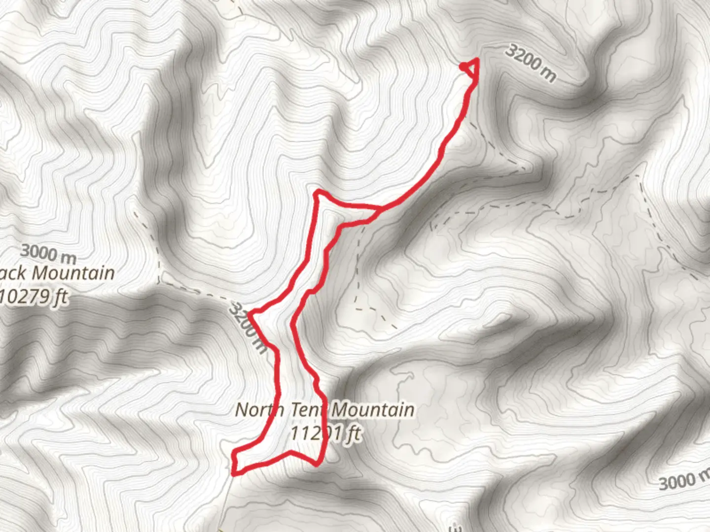
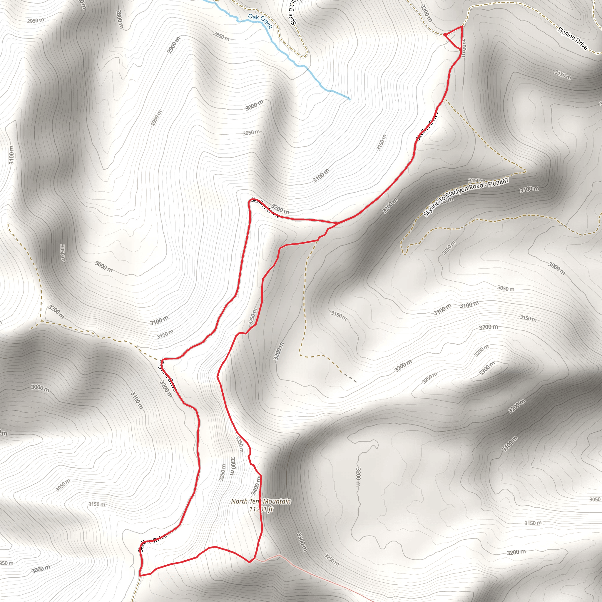
Starting your adventure near Sanpete County, Utah, the North Tent Mountain and Great Western Trail - Utah Loop offers a captivating 10 km (6.2 miles) journey with an elevation gain of approximately 300 meters (984 feet). This loop trail is rated medium in difficulty, making it accessible for moderately experienced hikers.### Getting There To reach the trailhead, you can drive or use public transport. If driving, head towards the Manti-La Sal National Forest area, specifically near the town of Ephraim, Utah. The nearest significant landmark is the Ephraim Canyon Road, which provides access to the trailhead. For those using public transport, the closest major bus stop is in Ephraim, from where you can arrange a taxi or rideshare to the trailhead.### Trail Navigation For navigation, it's highly recommended to use the HiiKER app, which provides detailed maps and real-time updates. The trail is well-marked, but having a reliable navigation tool will ensure you stay on track.### Trail Highlights As you embark on the trail, you'll first encounter a dense forest of pines and aspens. The initial 2 km (1.2 miles) are relatively gentle, allowing you to acclimate to the terrain. Keep an eye out for mule deer and wild turkeys, common inhabitants of this region.### Elevation Gain and Terrain Around the 3 km (1.9 miles) mark, the trail begins to ascend more steeply. This section offers panoramic views of the Sanpete Valley and the Wasatch Plateau. The elevation gain here is about 150 meters (492 feet), so take your time and enjoy the scenery.### Historical Significance The Great Western Trail is part of a historic route used by Native American tribes and later by pioneers and settlers. This trail has been a vital corridor for centuries, connecting various regions of the western United States. As you hike, you'll be walking in the footsteps of history, adding a layer of significance to your journey.### Midpoint and Summit At approximately 5 km (3.1 miles), you'll reach the midpoint and the highest elevation of the trail. Here, you can take a break and enjoy the breathtaking views from North Tent Mountain. The summit offers a 360-degree panorama, including views of the Manti-La Sal National Forest and the distant peaks of the Wasatch Range.### Descent and Return The descent begins after the summit, with the trail winding through alpine meadows and groves of quaking aspens. This section is less strenuous, allowing you to relax and take in the natural beauty. The final 2 km (1.2 miles) loop back towards the trailhead, completing your journey.### Flora and Fauna Throughout the hike, you'll encounter a diverse range of flora and fauna. Look out for wildflowers such as Indian paintbrush and lupine in the meadows. Birdwatchers will appreciate the variety of species, including hawks, eagles, and songbirds.### Final Stretch As you approach the end of the loop, the trail levels out, making for an easy finish. The last kilometer (0.6 miles) takes you back through the forest, offering a serene conclusion to your hike.This trail offers a perfect blend of natural beauty, moderate challenge, and historical significance, making it a must-visit for any hiking enthusiast.
What to expect?
Activity types
Comments and Reviews
User comments, reviews and discussions about the North Tent Mountain and Great Western Trail - UtahLoop, Utah.
4.56
average rating out of 5
9 rating(s)
