Download
Preview
Add to list
More
Trail length
37.7 km
Time
~1 day 3 hrs
Elevation Gain
540 m
Hike Type
Point-to-Point
“Embark on a moderately challenging 24-mile hike through Utah's rugged terrain, ancient ruins, and stunning vistas.”
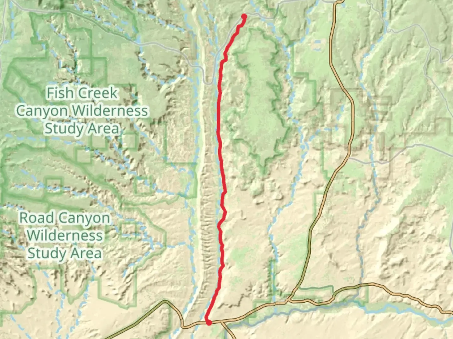
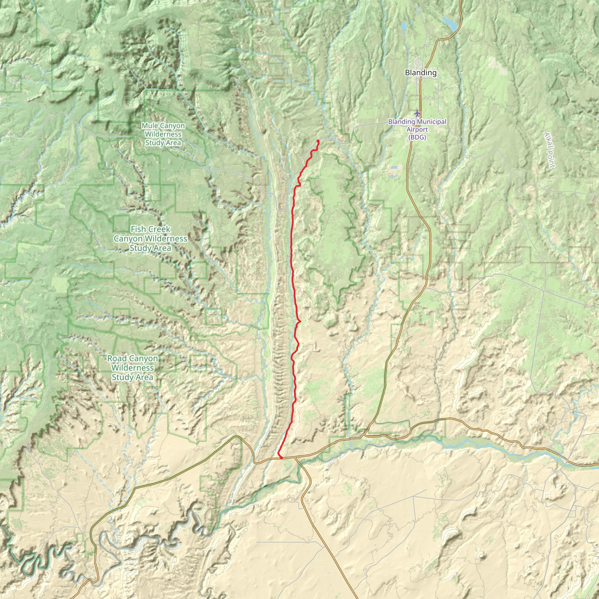
Starting near San Juan County, Utah, the Lower Butler Wash Road Walk stretches approximately 38 kilometers (about 24 miles) with an elevation gain of around 500 meters (1,640 feet). This point-to-point trail offers a medium difficulty rating, making it suitable for moderately experienced hikers.
Getting There To reach the trailhead, you can drive or use public transportation. If driving, head towards Bluff, Utah, and take the US-191 S. From there, turn onto UT-163 W and continue until you reach the vicinity of the trailhead near San Juan County. For those relying on public transport, the nearest major town is Bluff, where you can arrange for a local shuttle or taxi service to drop you off at the trailhead.
Trail Overview The Lower Butler Wash Road Walk is a captivating journey through the rugged landscapes of southeastern Utah. The trail meanders through a series of canyons and washes, offering hikers a chance to explore the unique geological formations and ancient ruins that dot the area.
Significant Landmarks and Historical Significance One of the most remarkable aspects of this trail is its proximity to several ancient Ancestral Puebloan ruins. As you hike, you'll encounter cliff dwellings and petroglyphs that date back over a thousand years. These historical sites provide a glimpse into the lives of the ancient peoples who once inhabited this region.
Nature and Wildlife The trail is rich in natural beauty, featuring a diverse array of flora and fauna. Keep an eye out for desert wildflowers, juniper trees, and sagebrush. Wildlife enthusiasts may spot mule deer, jackrabbits, and a variety of bird species, including hawks and eagles soaring overhead.
Navigation and Safety Given the remote nature of the trail, it's crucial to be well-prepared. Ensure you have a reliable navigation tool like HiiKER to help you stay on course. The trail is not heavily marked, so having a detailed map and GPS is essential. Water sources are scarce, so carry ample water and be prepared for the arid conditions.
Elevation and Terrain The trail's elevation gain of around 500 meters (1,640 feet) is spread out over the 38 kilometers (24 miles), making for a gradual ascent. The terrain varies from sandy washes to rocky outcrops, so sturdy hiking boots are recommended. The highest points offer stunning panoramic views of the surrounding canyons and mesas.
Points of Interest - **Butler Wash Ruins**: Approximately 8 kilometers (5 miles) into the hike, you'll come across the Butler Wash Ruins, a well-preserved Ancestral Puebloan site. - **Arch Canyon**: Around the 20-kilometer (12-mile) mark, Arch Canyon offers a beautiful detour with its natural arches and lush vegetation. - **Comb Ridge**: Near the end of the trail, Comb Ridge provides a striking geological feature with its steep, rugged cliffs.
Final Preparations Before embarking on the Lower Butler Wash Road Walk, ensure you have all necessary supplies, including plenty of water, sun protection, and a first-aid kit. Check weather conditions and let someone know your hiking plans. With proper preparation, this trail offers an unforgettable adventure through one of Utah's most historically and naturally rich landscapes.
What to expect?
scenic-views
wildflowers
Comments and Reviews
User comments, reviews and discussions about the Lower Butler Wash Road Walk, Utah.
4.33
average rating out of 5
15 rating(s)
