Download
Preview
Add to list
More
22.5 km
~2 days
343 m
Multi-Day
“Embark on the scenic 22 km Flat Iron Mesa Road Walk for captivating views and historical wonders.”
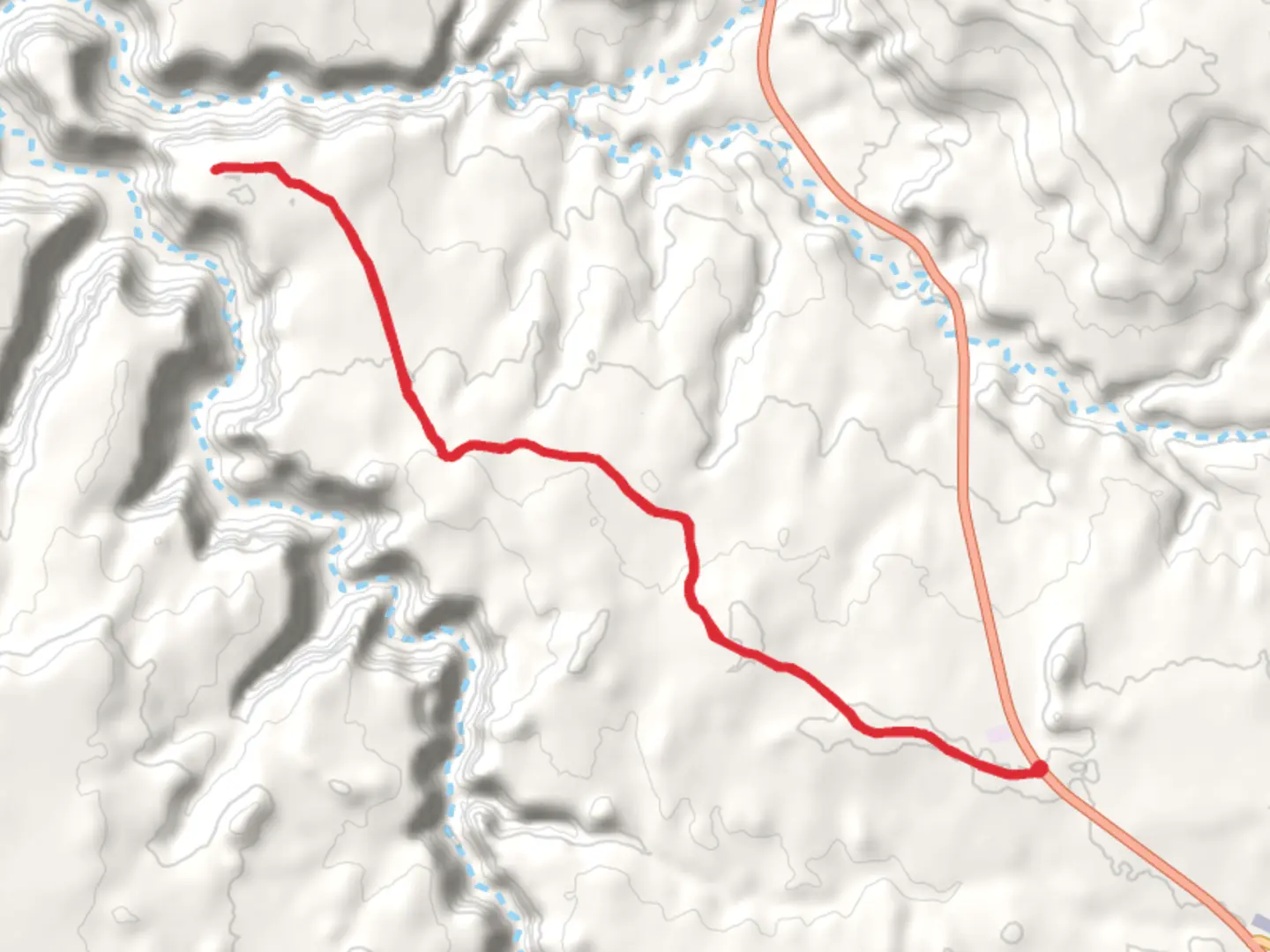
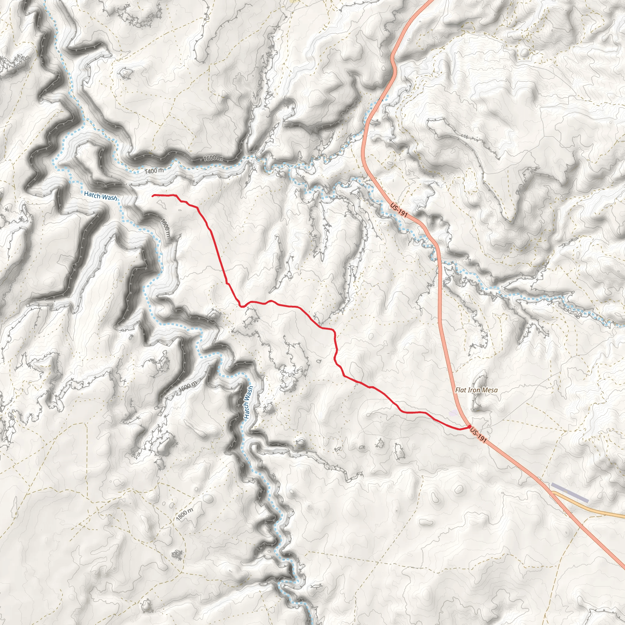
Starting near San Juan County, Utah, the Flat Iron Mesa Road Walk is an out-and-back trail that spans approximately 22 kilometers (around 13.7 miles) with an elevation gain of about 300 meters (roughly 984 feet). This trail is rated as medium difficulty, making it suitable for moderately experienced hikers.### Getting There To reach the trailhead, you can drive or use public transportation. If driving, head towards San Juan County, Utah, and look for the nearest significant landmark, which is the town of Monticello. From Monticello, follow local roads to the trailhead. Public transport options are limited, so it's advisable to rent a car if you're not driving your own vehicle.### Trail Overview The trail begins with a gentle ascent, gradually increasing in elevation as you move deeper into the landscape. The initial part of the trail is relatively flat, making it an excellent warm-up for the more challenging sections ahead. As you progress, you'll encounter a mix of dirt paths and rocky terrain, so sturdy hiking boots are recommended.### Landmarks and Points of Interest - First 5 km (3.1 miles): The trail starts with a scenic view of the surrounding mesas and canyons. Keep an eye out for native flora such as sagebrush and juniper trees. Wildlife sightings are common, including mule deer and various bird species. - 5 to 10 km (3.1 to 6.2 miles): As you continue, you'll come across a series of small, dry creek beds. These are excellent spots to take a short break and hydrate. The elevation gain becomes more noticeable in this section, with a steady climb that offers panoramic views of the region. - 10 to 15 km (6.2 to 9.3 miles): This part of the trail features more rugged terrain, with larger rocks and steeper inclines. The landscape opens up to reveal expansive views of the surrounding mesas and distant mountain ranges. This is a great spot for photography. - 15 to 22 km (9.3 to 13.7 miles): The final stretch of the trail takes you to the highest elevation point, offering breathtaking views of the entire region. The trail then loops back, retracing your steps to the trailhead.### Historical Significance The region around San Juan County is rich in Native American history, particularly the Ancestral Puebloans who once inhabited the area. Along the trail, you may notice ancient petroglyphs and ruins, remnants of a civilization that thrived here centuries ago. These historical markers provide a fascinating glimpse into the past and add a layer of depth to your hiking experience.### Navigation and Safety Given the remote nature of the trail, it's crucial to have reliable navigation tools. The HiiKER app is highly recommended for this purpose, offering detailed maps and real-time GPS tracking to ensure you stay on course. Additionally, always carry sufficient water, snacks, and a first-aid kit. Weather conditions can change rapidly, so check the forecast before heading out and dress in layers.### Flora and Fauna The trail is home to a diverse range of plant and animal life. In addition to sagebrush and juniper, you may encounter prickly pear cacti and various wildflowers, especially in the spring. Wildlife is abundant, with common sightings of mule deer, jackrabbits, and a variety of birds, including hawks and eagles.By preparing adequately and respecting the natural and historical significance of the area, you'll have a rewarding and memorable hiking experience on the Flat Iron Mesa Road Walk.
What to expect?
Activity types
Comments and Reviews
User comments, reviews and discussions about the Flat Iron Mesa Road Walk, Utah.
4.46
average rating out of 5
13 rating(s)
