Download
Preview
Add to list
More
11.3 km
~4 hrs 5 min
1101 m
Out and Back
“Embark on a challenging, scenic hike through Neffs Canyon to Wildcat Ridge, rich in nature and history.”
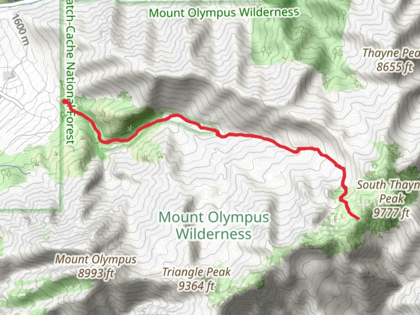
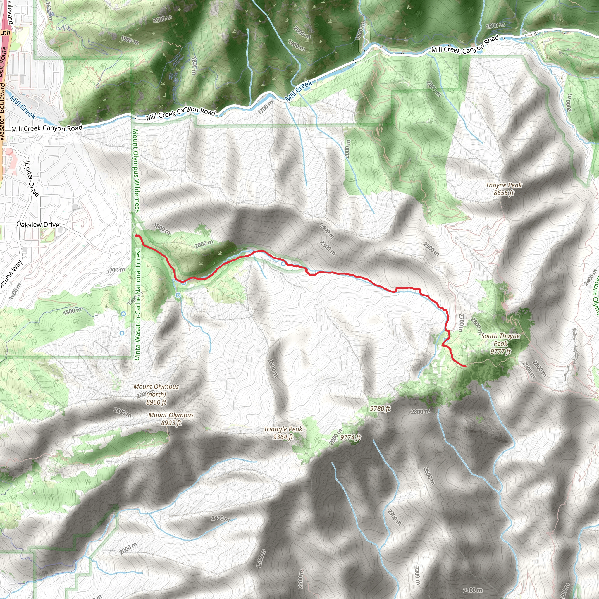
Starting your adventure near Salt Lake County, Utah, the trailhead for Wildcat Ridge and Neff Springs via Neffs Canyon Trail is conveniently accessible by car. If you're using public transport, you can take a bus to the nearest stop at the intersection of Wasatch Blvd and Mill Creek Canyon Road, then it's a short drive or ride-share to the trailhead located at the end of White Way.Trail OverviewThis out-and-back trail spans approximately 11 km (6.8 miles) with an elevation gain of around 1100 meters (3600 feet). Rated as medium difficulty, it offers a challenging yet rewarding experience for hikers. The trail begins with a steady ascent through Neffs Canyon, where you'll be greeted by a lush forest of aspen and pine trees. Early in the hike, you'll cross a small stream, which can be more robust in spring due to snowmelt.Significant Landmarks and NatureAt about 2 km (1.2 miles) in, you'll reach a fork; take the left path to continue towards Wildcat Ridge. As you climb higher, the forest opens up, offering stunning views of the Salt Lake Valley below. Around the 4 km (2.5 miles) mark, you'll encounter Neff Springs, a serene spot perfect for a short rest. The springs are a natural water source, but it's advisable to carry your own water or use a filtration system if you plan to refill here.Continuing on, the trail becomes steeper and rockier as you approach Wildcat Ridge. The ridge itself is a highlight, providing panoramic views of the surrounding peaks and valleys. This section is particularly exposed, so be prepared for wind and sun. The final push to the ridge involves some scrambling over loose rocks, so good footwear and trekking poles are recommended.Wildlife and FloraThe trail is home to a variety of wildlife, including mule deer, elk, and occasionally black bears. Birdwatchers will enjoy spotting species like the mountain bluebird and the red-tailed hawk. The flora changes with elevation, from dense forests at lower levels to alpine meadows filled with wildflowers in the summer months.Historical SignificanceNeffs Canyon has a rich history, originally used by Native American tribes for hunting and gathering. In the late 19th and early 20th centuries, the area was explored by miners searching for precious metals. Remnants of old mining equipment can sometimes be spotted off the main trail, adding a historical dimension to your hike.Navigation and SafetyGiven the trail's elevation gain and varying terrain, it's crucial to be well-prepared. Download the trail map from HiiKER for offline use, as cell service can be spotty. Weather can change rapidly, especially at higher elevations, so pack layers and be prepared for sudden temperature drops.Getting ThereIf driving, head towards the end of White Way in Salt Lake County, where you'll find parking near the trailhead. For those using public transport, the nearest bus stop is at Wasatch Blvd and Mill Creek Canyon Road, from where you can arrange a short ride to the trailhead.Embark on this hike with a sense of adventure and respect for the natural beauty and historical significance of the area.
What to expect?
Activity types
Comments and Reviews
User comments, reviews and discussions about the Wildcat Ridge and Neff Springs via Neffs Canyon Trail, Utah.
4.67
average rating out of 5
12 rating(s)
