Download
Preview
Add to list
More
14.7 km
~1 day 0 hrs
1351 m
Out and Back
“Embark on the challenging yet rewarding 15 km Upper Bells Canyon Trail for stunning alpine views and rich history.”
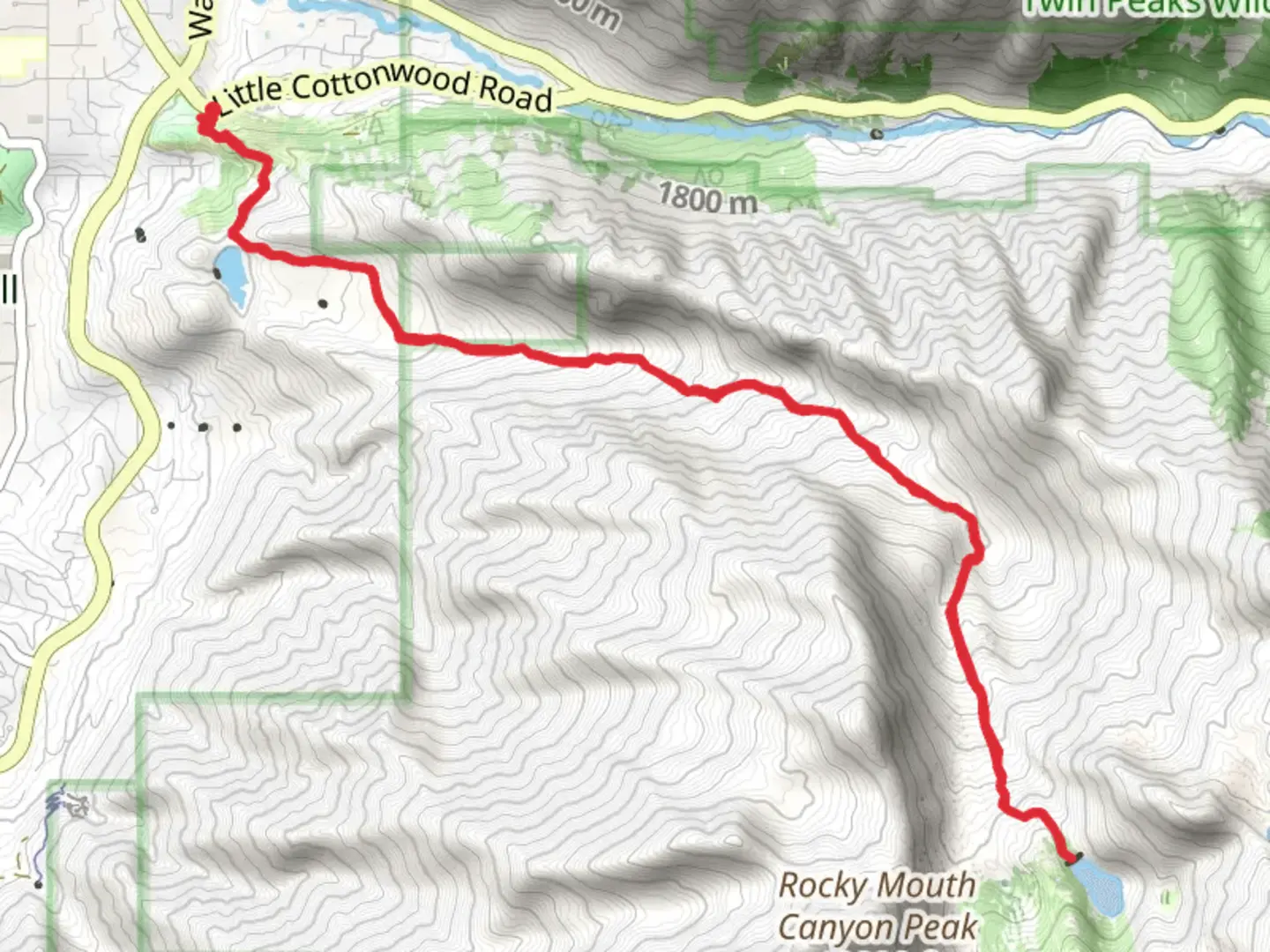
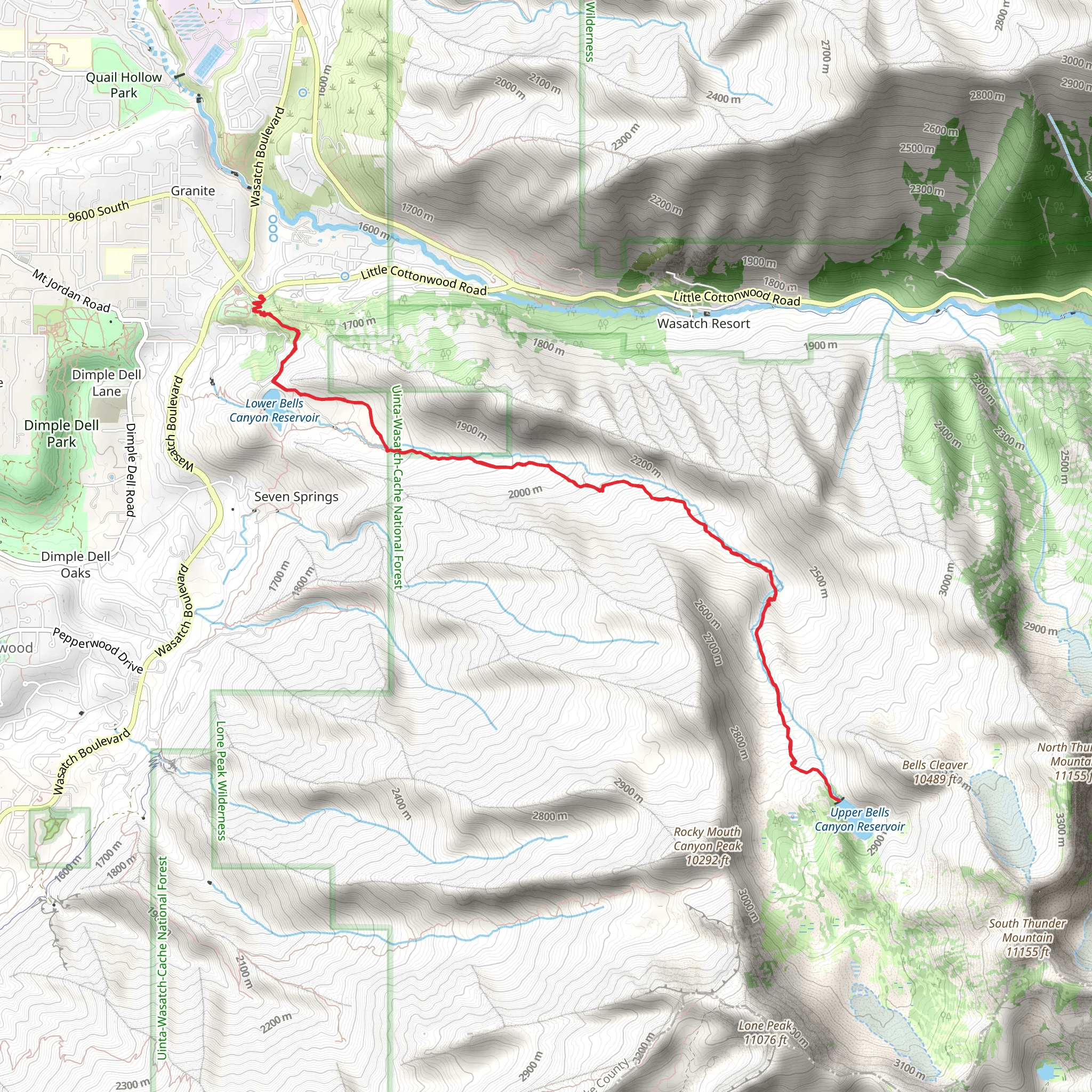
Starting your adventure near Salt Lake County, Utah, the Upper Bells Canyon Reservoir via Bells Canyon Trail is a captivating out-and-back hike that spans approximately 15 km (9.3 miles) with an elevation gain of around 1300 meters (4265 feet). The trailhead is conveniently located near the Bells Canyon Granite Trailhead, which is easily accessible by car. For those using public transport, you can take a bus to the Little Cottonwood Canyon Park & Ride, and from there, it's a short drive or ride-share to the trailhead.### Trail OverviewThe trail begins with a moderate ascent through a picturesque forested area, offering shade and a cool environment, especially during the warmer months. Early on, you'll encounter the Lower Bells Canyon Reservoir, a serene spot perfect for a quick rest or photo opportunity. This initial section is relatively easy, making it a good warm-up for the more challenging parts ahead.### Key Landmarks and ElevationAs you continue, the trail becomes steeper and more rugged. Around the 3 km (1.9 miles) mark, you'll start to notice a significant increase in elevation. The path winds through dense forests and rocky outcrops, providing stunning views of the surrounding mountains and valleys. Keep an eye out for wildlife; deer and various bird species are commonly spotted in this area.At approximately 5 km (3.1 miles) in, you'll reach the first major landmark: a beautiful waterfall cascading down the rocks. This is a great spot to take a break and enjoy the natural beauty. The elevation gain here is about 500 meters (1640 feet) from the trailhead.### Upper Bells Canyon ReservoirContinuing onward, the trail becomes more strenuous, with steeper inclines and rocky terrain. The final push to the Upper Bells Canyon Reservoir is the most challenging part of the hike, but the effort is well worth it. Upon reaching the reservoir, you'll be rewarded with breathtaking views of the pristine alpine lake surrounded by towering peaks. The total elevation gain at this point is around 1300 meters (4265 feet).### Historical SignificanceBells Canyon has a rich history, with evidence of Native American habitation dating back thousands of years. The area was also significant during the early settlement of Utah, with pioneers using the canyon for water and resources. The trail itself has been a popular hiking destination for decades, offering a glimpse into the natural and cultural history of the region.### Navigation and SafetyGiven the trail's moderate difficulty, it's essential to be well-prepared. Ensure you have a reliable navigation tool like HiiKER to stay on track, as some sections can be confusing, especially near the reservoir. Bring plenty of water, snacks, and appropriate gear for changing weather conditions. The trail can be icy and slippery in the early spring and late fall, so traction devices may be necessary.### Getting ThereTo reach the trailhead by car, head towards the Bells Canyon Granite Trailhead, located near 10245 S Wasatch Blvd, Sandy, UT 84092. Parking is available, but it can fill up quickly on weekends and holidays, so an early start is recommended. If using public transport, take a bus to the Little Cottonwood Canyon Park & Ride, then arrange for a short ride-share or taxi to the trailhead.Embark on this hike with a sense of adventure and respect for the natural beauty and historical significance of Bells Canyon.
What to expect?
Activity types
Comments and Reviews
User comments, reviews and discussions about the Upper Bells Canyon Reservoir via Bells Canyon Trail, Utah.
4.53
average rating out of 5
17 rating(s)
