Download
Preview
Add to list
More
9.9 km
~2 hrs 53 min
545 m
Loop
“The Terrace Elbow Fork and Pipeline Trail loop boasts scenic views, historical landmarks, and diverse wildlife.”
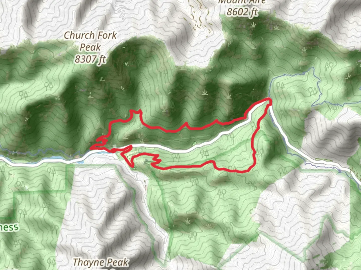
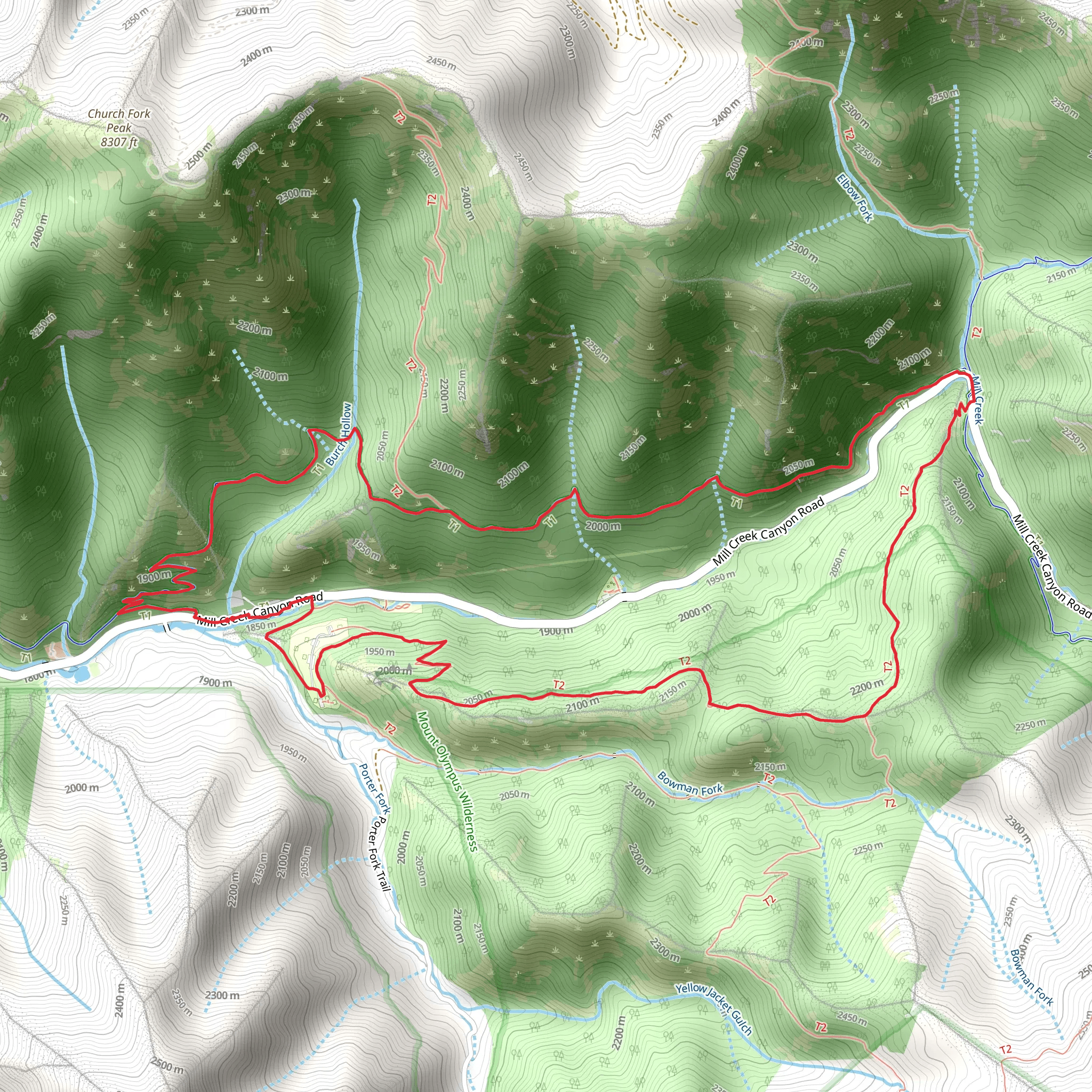
Starting your hike near Salt Lake County, Utah, the Terrace Elbow Fork Trail and Pipeline Trail loop offers a rewarding 10 km (6.2 miles) journey with an elevation gain of approximately 500 meters (1,640 feet). This medium-difficulty trail provides a mix of scenic views, historical landmarks, and diverse wildlife, making it a must-visit for outdoor enthusiasts.
Getting There To reach the trailhead, you can drive or use public transportation. If driving, head towards Mill Creek Canyon Road, which is easily accessible from Salt Lake City. The nearest significant landmark is the Mill Creek Canyon Park, where you can find parking. For those using public transport, take a bus to the Mill Creek Canyon Park area and then walk to the trailhead.
Trail Overview The loop begins at the Terrace Elbow Fork trailhead, located near Mill Creek Canyon. The initial section of the trail ascends gradually, offering a moderate challenge as you gain elevation. The first 2 km (1.2 miles) of the trail will take you through dense forests of aspen and pine, providing ample shade and a serene atmosphere. Keep an eye out for mule deer and various bird species that inhabit this area.
Significant Landmarks and Nature Around the 3 km (1.9 miles) mark, you'll reach a scenic overlook that offers panoramic views of the surrounding canyons and valleys. This is an excellent spot for a short break and some photography. Continuing on, the trail intersects with the Pipeline Trail, which is known for its historical significance. The Pipeline Trail follows the route of an old water pipeline that once supplied water to Salt Lake City in the early 20th century. Remnants of the pipeline can still be seen along the trail, adding a touch of history to your hike.
Wildlife and Flora As you progress, the trail opens up to meadows filled with wildflowers during the spring and summer months. These meadows are a haven for pollinators like bees and butterflies. The diverse flora includes species such as Indian paintbrush, lupine, and columbine. Be cautious of the occasional rattlesnake, especially in the warmer months, and always stay on the designated path.
Navigation and Safety Navigating this loop is straightforward, but it's always wise to have a reliable navigation tool like HiiKER to ensure you stay on track. The trail is well-marked, but weather conditions can change rapidly, so be prepared with appropriate gear. The descent back to the trailhead is gradual, making for a pleasant end to your hike.
Final Stretch The last 2 km (1.2 miles) of the loop bring you back through a mix of forest and open areas, eventually leading you back to the Terrace Elbow Fork trailhead. This section is relatively easy, allowing you to cool down and reflect on the diverse landscapes and historical elements you've encountered.
This trail offers a balanced mix of natural beauty, historical intrigue, and moderate physical challenge, making it an excellent choice for hikers looking to explore the rich landscapes near Salt Lake County.
What to expect?
Activity types
Comments and Reviews
User comments, reviews and discussions about the Terrace Elbow Fork trail and Pipeline Trail, Utah.
4.53
average rating out of 5
15 rating(s)
