Download
Preview
Add to list
More
9.8 km
~2 hrs 45 min
472 m
Loop
“A captivating 10 km loop with scenic views, historical landmarks, and moderate challenges for seasoned hikers.”
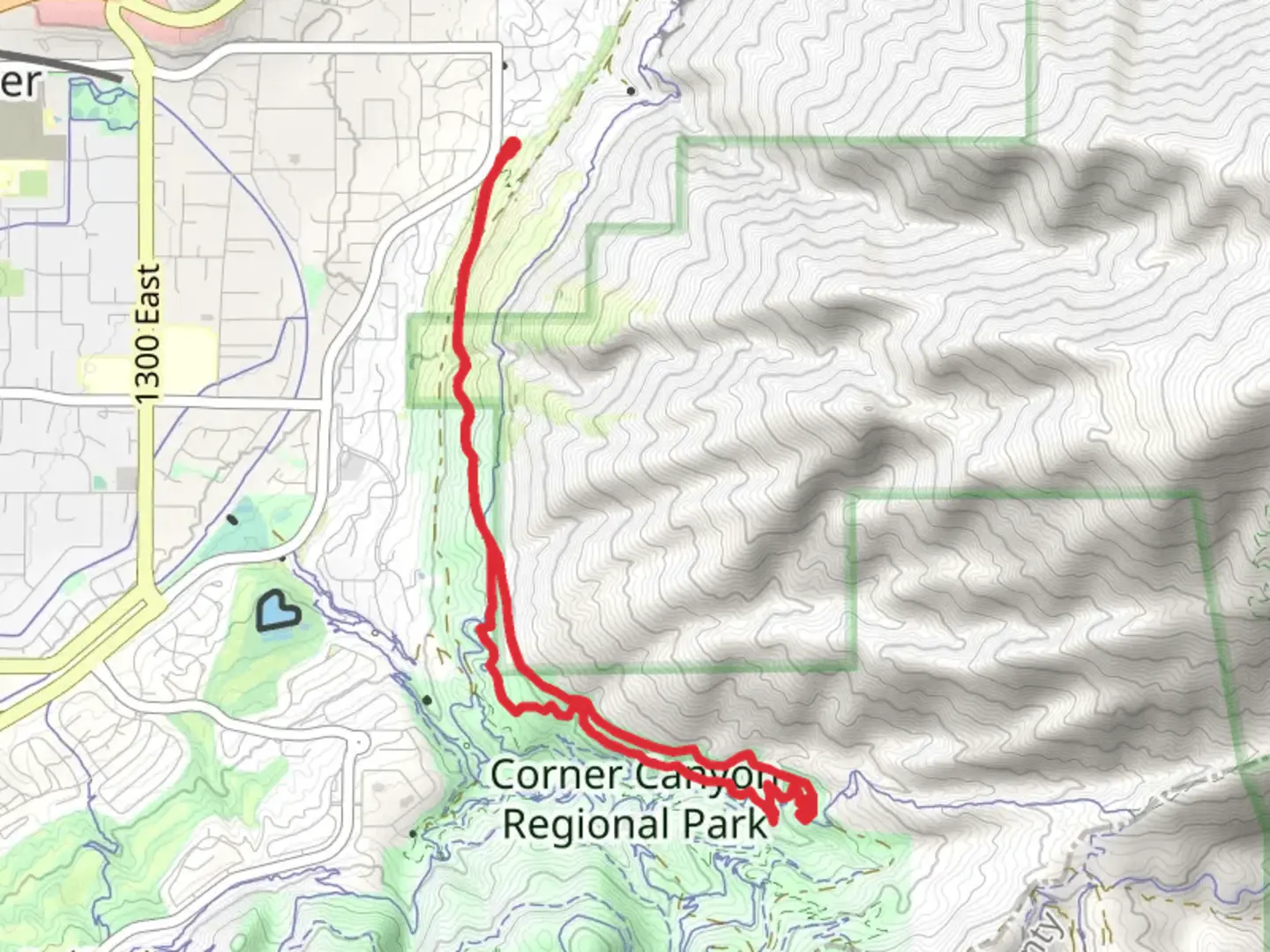
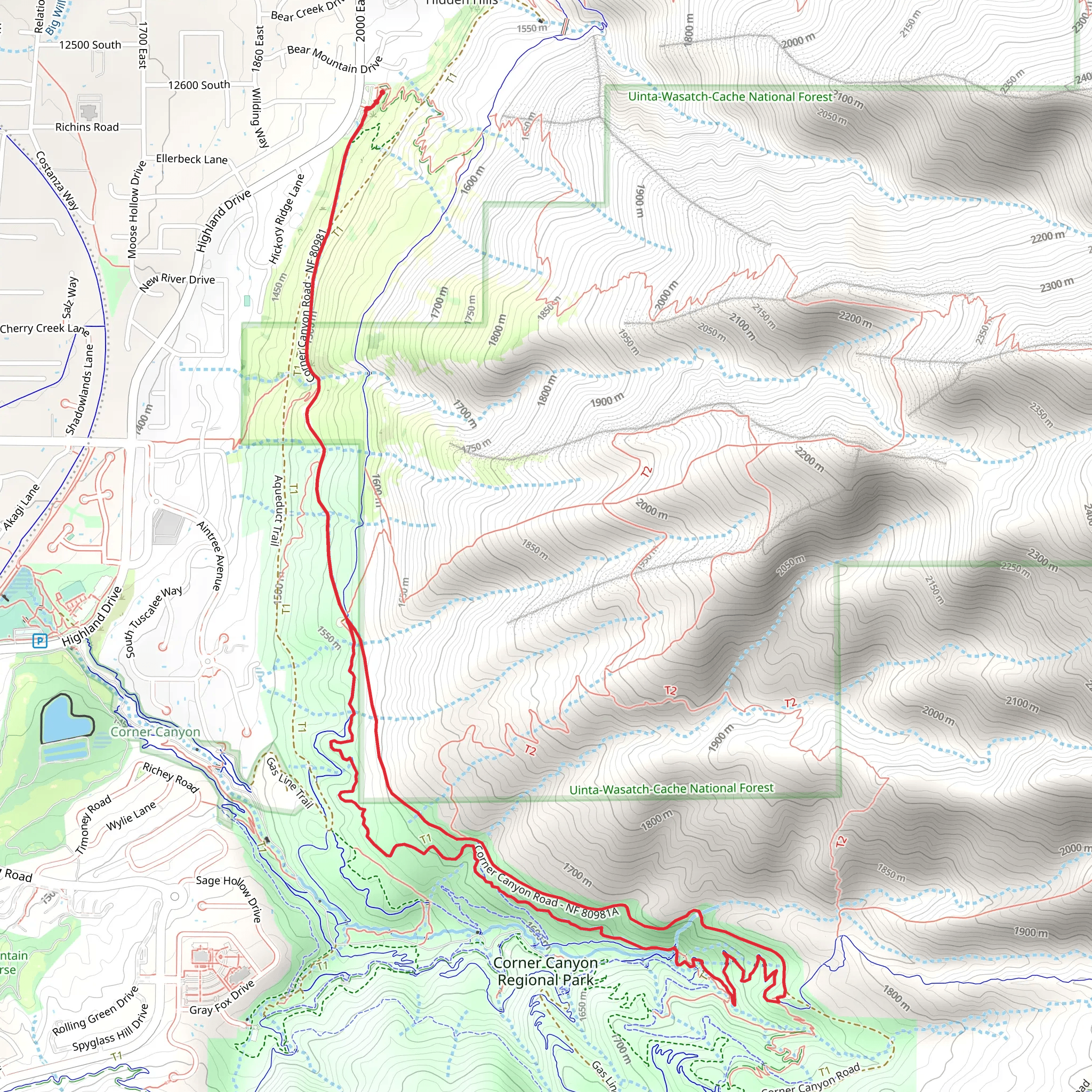
Starting near Salt Lake County, Utah, the Rattler and Corner Canyon Road Loop is a captivating 10 km (6.2 miles) loop trail with an elevation gain of approximately 400 meters (1,312 feet). This trail is rated as medium difficulty, making it suitable for moderately experienced hikers looking for a rewarding challenge.
Getting There To reach the trailhead, you can drive or use public transportation. If driving, head towards Draper, Utah, and park near the Draper Cycle Park, located at 1455 Highland Dr, Draper, UT 84020. For those using public transport, take the UTA bus route 871 to the Draper FrontRunner Station, and then a short ride-share or taxi will get you to the trailhead.
Trail Overview The trail begins with a gentle ascent, winding through a mix of scrub oak and sagebrush. Early on, you’ll encounter the first significant landmark, the Ghost Falls, approximately 2 km (1.2 miles) into the hike. This small but picturesque waterfall is a great spot for a quick rest and photo opportunity.
Flora and Fauna As you continue, the trail meanders through diverse ecosystems. In the spring and early summer, wildflowers such as lupine and Indian paintbrush are abundant. Keep an eye out for local wildlife, including mule deer, red foxes, and a variety of bird species like the Western Tanager and Mountain Bluebird.
Historical Significance The area around Corner Canyon has a rich history. It was once a significant route for Native American tribes and later became a key area for early Mormon settlers. Remnants of old homesteads and irrigation systems can still be seen along the trail, offering a glimpse into the past.
Mid-Trail Highlights Around the 5 km (3.1 miles) mark, you’ll reach the highest point of the trail, offering panoramic views of the Salt Lake Valley and the Wasatch Range. This is a perfect spot to take a break and soak in the scenery. The elevation gain to this point is about 300 meters (984 feet).
Navigation and Safety The trail is well-marked, but it’s always wise to have a reliable navigation tool. The HiiKER app is highly recommended for real-time trail maps and updates. Make sure to carry enough water, especially during the hotter months, as the trail can be quite exposed in certain sections.
Final Stretch The descent begins after the high point, leading you through a series of switchbacks and shaded areas. As you approach the final 2 km (1.2 miles), you’ll pass through a dense forested area, which is particularly beautiful in the fall when the leaves change color.
Completing the Loop The trail loops back to the starting point near the Draper Cycle Park. This final section is relatively flat and offers a relaxing end to your hike. Be sure to check out the local amenities in Draper, including cafes and shops, to round off your adventure.
This trail offers a balanced mix of natural beauty, historical intrigue, and moderate physical challenge, making it a must-visit for hikers in the Salt Lake County area.
What to expect?
Activity types
Comments and Reviews
User comments, reviews and discussions about the Rattler and Corner Canyon Road Loop, Utah.
4.72
average rating out of 5
18 rating(s)
