Download
Preview
Add to list
More
12.4 km
~4 hrs 11 min
1027 m
Out and Back
“The Porter Fork Trail offers a rewarding 12-kilometer hike with stunning views and rich historical intrigue.”
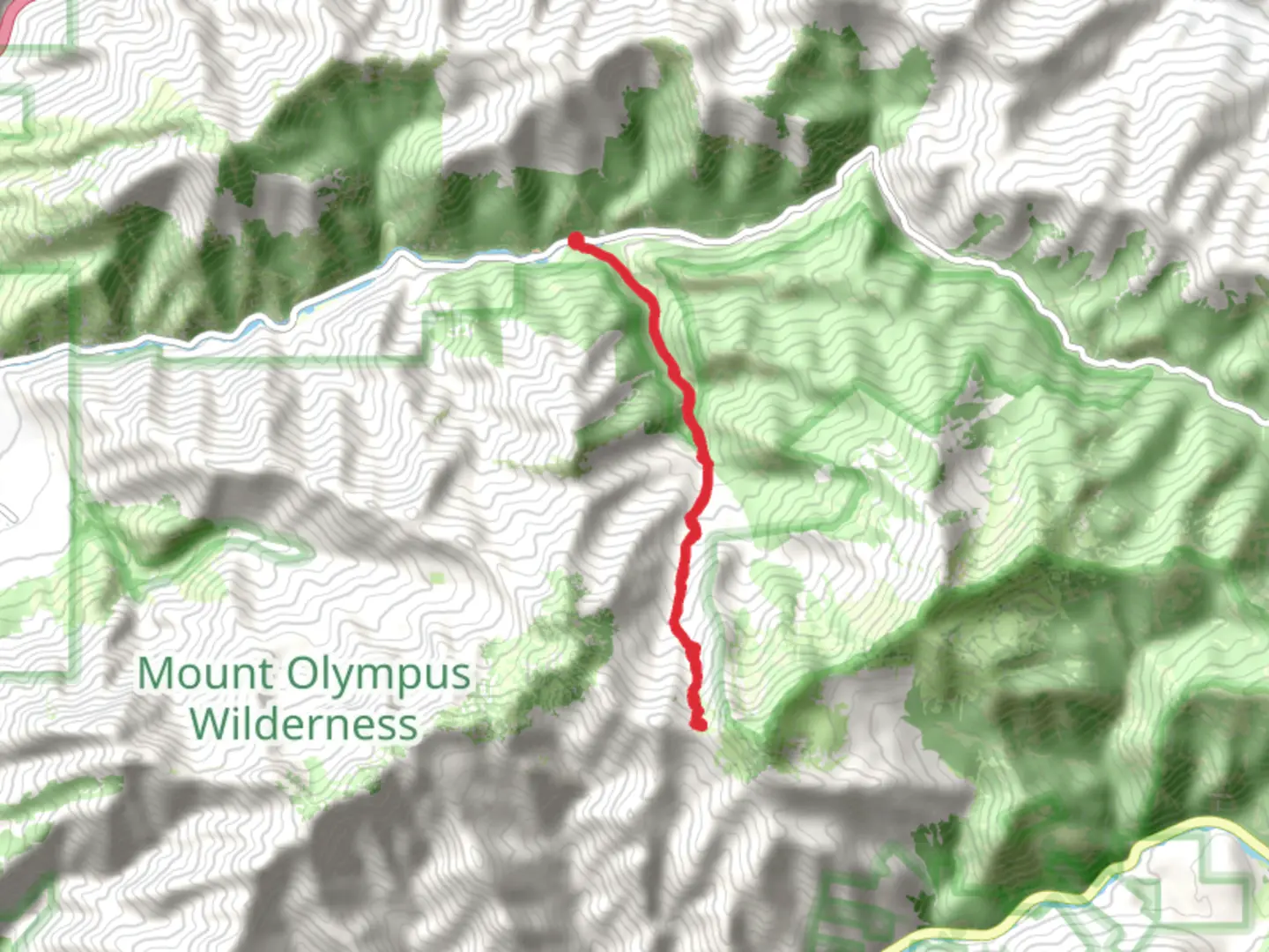
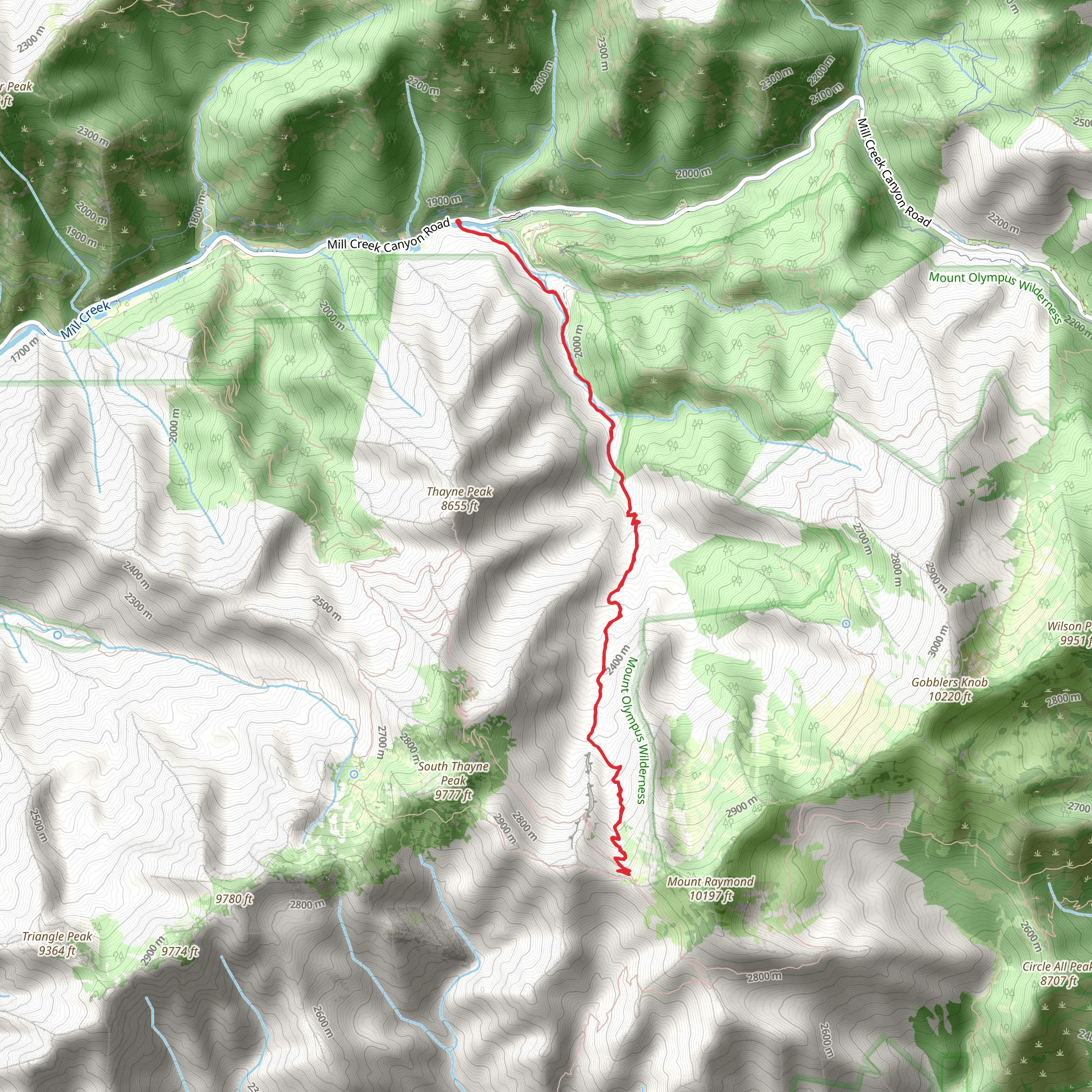
Starting near Salt Lake County, Utah, the Porter Fork Trail is an invigorating out-and-back hike that spans approximately 12 kilometers (7.5 miles) with an elevation gain of around 1000 meters (3280 feet). This trail is rated as medium difficulty, making it suitable for moderately experienced hikers looking for a rewarding challenge.
Getting There To reach the trailhead, you can drive or use public transportation. If driving, head towards Mill Creek Canyon Road, which is easily accessible from Salt Lake City. The nearest significant landmark is the Mill Creek Canyon Park, where you can find parking. For those using public transport, take a bus to the Mill Creek Canyon Park area and walk to the trailhead from there.
Trail Overview The trail begins with a gentle ascent through a dense forest of aspen and pine trees. The initial 2 kilometers (1.2 miles) are relatively easy, with a gradual elevation gain of about 200 meters (656 feet). This section is perfect for warming up your legs and getting accustomed to the terrain.
Mid-Trail Highlights As you progress, the trail becomes steeper and more challenging. Around the 4-kilometer (2.5-mile) mark, you'll encounter a series of switchbacks that significantly increase the elevation gain. This section can be strenuous, so take your time and enjoy the stunning views of the surrounding canyon.
At approximately 5 kilometers (3.1 miles) in, you'll reach a small clearing that offers panoramic views of the Salt Lake Valley. This is a great spot to take a break, hydrate, and snap some photos. The elevation gain by this point is around 600 meters (1968 feet).
Flora and Fauna The Porter Fork Trail is rich in biodiversity. Keep an eye out for mule deer, elk, and various bird species such as the mountain bluebird and the American dipper. The trail is also adorned with wildflowers during the spring and summer months, including lupines, columbines, and Indian paintbrush.
Historical Significance The region around Mill Creek Canyon has a rich history dating back to the early settlers of Utah. The canyon was used for logging and grazing in the 19th century, and remnants of old cabins and logging equipment can still be found if you look closely. The trail itself follows some of the old logging routes, adding a layer of historical intrigue to your hike.
Final Ascent The last 2 kilometers (1.2 miles) of the trail are the most challenging, with a steep ascent that gains the final 400 meters (1312 feet) in elevation. This section requires careful footing, especially if the trail is wet or icy. Once you reach the top, you'll be rewarded with breathtaking views of the Wasatch Mountains and the surrounding wilderness.
Navigation For navigation, it's highly recommended to use the HiiKER app, which provides detailed maps and real-time updates. This will help you stay on track and ensure a safe and enjoyable hike.
Return Journey The return journey follows the same path, offering a different perspective on the landscape as you descend. Be cautious on the steep sections, and take your time to enjoy the natural beauty that surrounds you.
This trail offers a perfect blend of physical challenge, natural beauty, and historical significance, making it a must-do for any hiking enthusiast visiting the Salt Lake County area.
What to expect?
Activity types
Comments and Reviews
User comments, reviews and discussions about the Porter Fork Trail, Utah.
4.5
average rating out of 5
16 rating(s)
