Download
Preview
Add to list
More
22.3 km
~1 day 0 hrs
871 m
Out and Back
“The Pipeline Trail offers a scenic, moderately challenging hike with historical landmarks and diverse wildlife near Salt Lake County.”
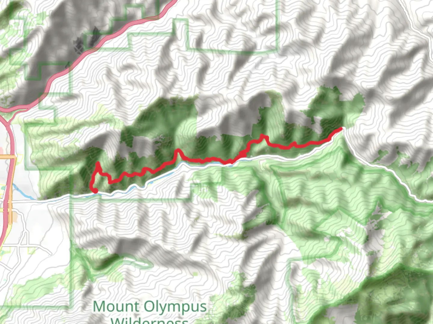
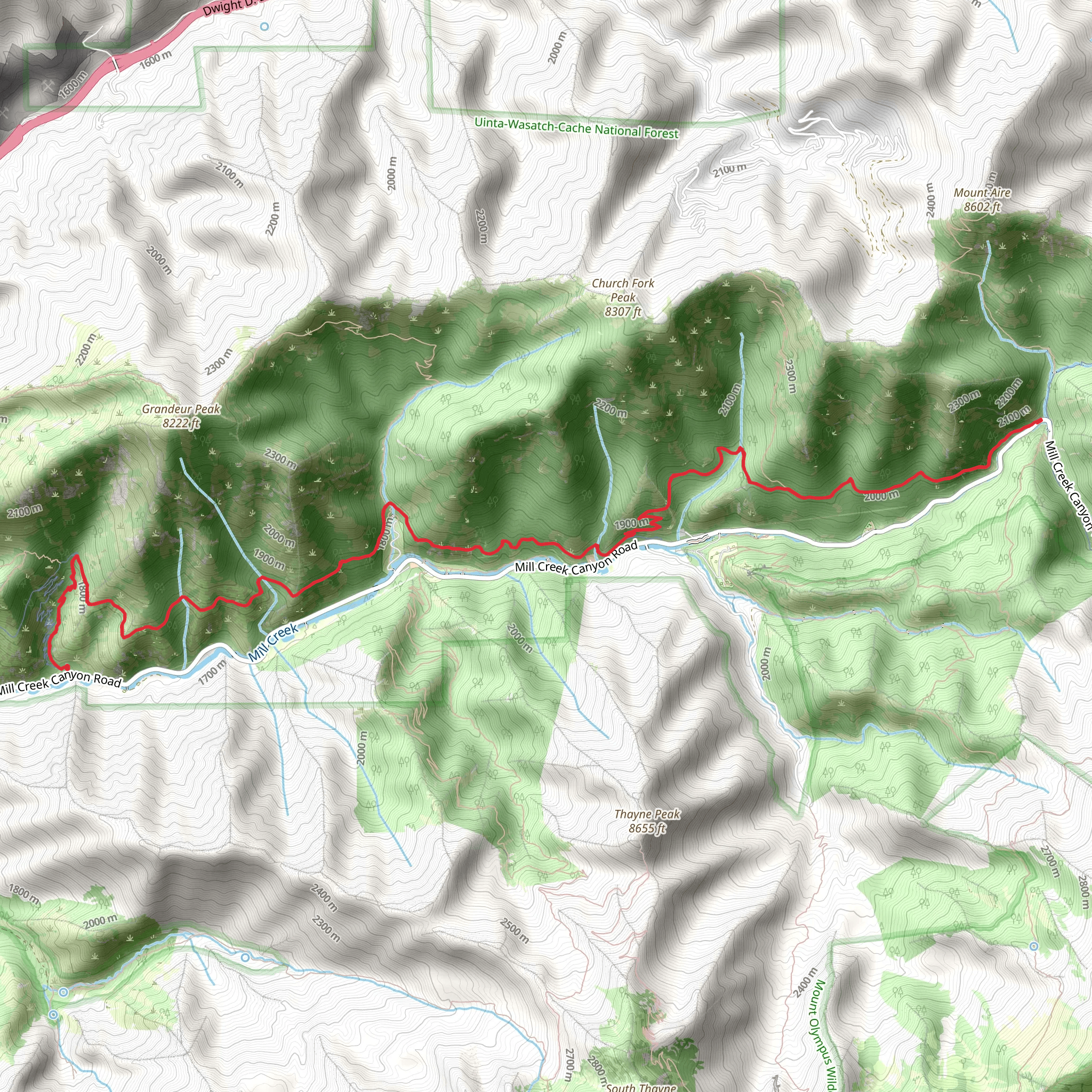
Starting near Salt Lake County, Utah, the Pipeline Trail stretches approximately 22 kilometers (around 13.7 miles) with an elevation gain of about 800 meters (2,625 feet). This out-and-back trail is rated as medium difficulty, making it suitable for moderately experienced hikers.
Getting There To reach the trailhead, you can drive or use public transportation. If driving, head towards the nearest significant landmark, which is the Mill Creek Canyon. Parking is available at the trailhead, but it can fill up quickly, especially on weekends. For those using public transport, the Utah Transit Authority (UTA) offers bus services that can get you close to the trailhead. Check the UTA website for the latest schedules and routes.
Trail Overview The Pipeline Trail offers a mix of scenic views, historical landmarks, and diverse wildlife. The trail begins with a gentle ascent, allowing hikers to ease into the journey. As you progress, the elevation gain becomes more noticeable, particularly around the 5-kilometer (3.1-mile) mark, where the trail starts to climb more steeply.
Key Landmarks and Sections - **Mill Creek Canyon**: The trailhead is located here, and the canyon itself is a beautiful area to explore. The creek runs parallel to the trail for the first few kilometers, providing a soothing background sound. - **Rattlesnake Gulch**: Around 3 kilometers (1.9 miles) into the hike, you'll come across Rattlesnake Gulch. This area offers stunning views of the canyon and is a great spot for a short break. - **Grandeur Peak**: Although not directly on the Pipeline Trail, Grandeur Peak is visible from several points along the trail. The peak stands at 2,682 meters (8,799 feet) and adds a dramatic backdrop to your hike. - **Historical Pipeline**: The trail gets its name from the old water pipeline that used to run through this area. Remnants of the pipeline can still be seen along the trail, offering a glimpse into the region's history.
Flora and Fauna The Pipeline Trail is home to a variety of plant and animal species. In the spring and summer, you'll find wildflowers such as lupine and Indian paintbrush. The trail also passes through groves of aspen and pine trees, providing shade and a cool respite during the warmer months. Wildlife sightings are common, with deer, squirrels, and various bird species frequently spotted.
Navigation and Safety Given the trail's moderate difficulty, it's essential to come prepared. Use the HiiKER app for accurate navigation and real-time updates on trail conditions. The trail is well-marked, but having a reliable navigation tool can help you stay on course, especially in areas where the path may be less defined.
Final Stretch The final stretch of the trail offers panoramic views of the Salt Lake Valley. This section is particularly rewarding, as the elevation gain levels out, allowing you to enjoy the scenery without the strenuous climb. The turnaround point is a great spot for a picnic or simply to rest and take in the views before heading back.
Tips for Hikers - **Water and Snacks**: Ensure you carry enough water and snacks, as there are no facilities along the trail. - **Weather**: Check the weather forecast before heading out. The trail can be slippery after rain, and temperatures can vary significantly. - **Wildlife**: Be mindful of wildlife, especially rattlesnakes, which are known to inhabit the area. Keep a safe distance and stay on the trail.
The Pipeline Trail offers a rewarding hike with a mix of natural beauty, historical significance, and moderate physical challenge. Whether you're a local or visiting the Salt Lake County area, this trail provides an excellent opportunity to explore the region's outdoor offerings.
What to expect?
Activity types
Comments and Reviews
User comments, reviews and discussions about the Pipeline Trail, Utah.
4.39
average rating out of 5
18 rating(s)
