Download
Preview
Add to list
More
7.9 km
~2 hrs 23 min
485 m
Out and Back
“Embark on the Old Mine Road Trail for a scenic, historical, and moderately challenging 8-kilometer hike near Salt Lake County.”
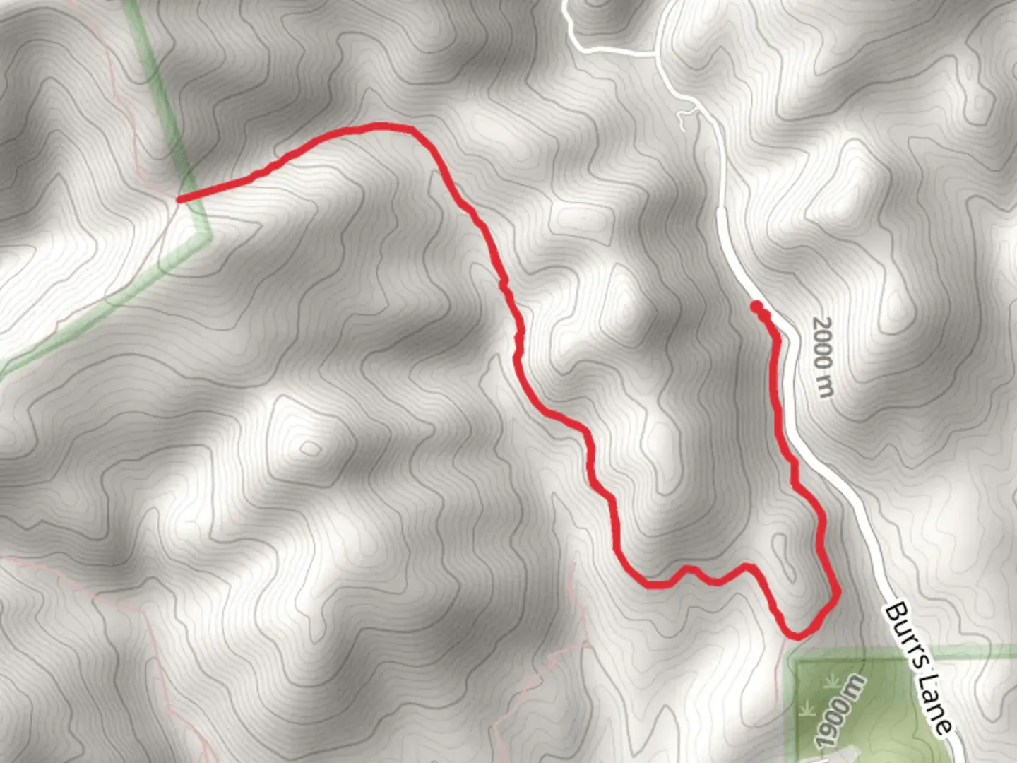
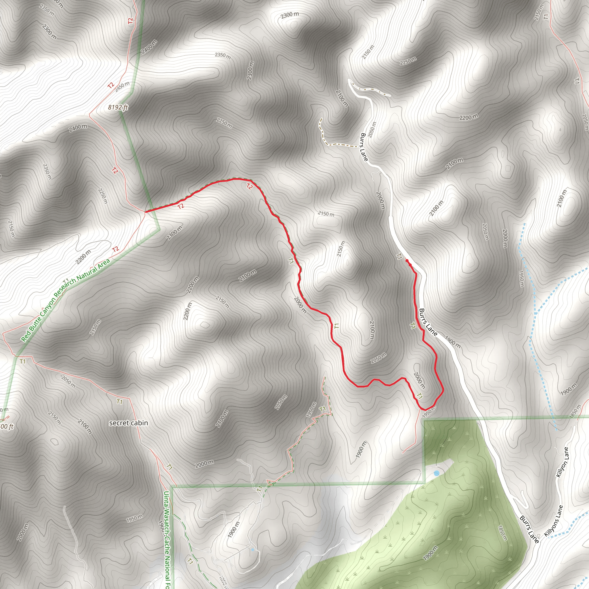
Starting near Salt Lake County, Utah, the Old Mine Road Trail offers an engaging out-and-back hike that spans approximately 8 kilometers (around 5 miles) with an elevation gain of about 400 meters (1,312 feet). This trail is rated as medium difficulty, making it suitable for moderately experienced hikers looking for a rewarding challenge.
Getting There To reach the trailhead, you can drive or use public transportation. If you're driving, head towards the nearest known landmark, the Big Cottonwood Canyon Park & Ride, located at 7040 S Wasatch Blvd, Cottonwood Heights, UT 84121. From there, it's a short drive to the trailhead. For those using public transport, you can take a bus to the Big Cottonwood Canyon Park & Ride and then arrange for a short taxi or rideshare to the trailhead.
Trail Overview The trail begins with a gentle ascent through a forested area, providing ample shade and a cool start to your hike. As you progress, the path becomes steeper, and you'll notice the terrain transitioning from dense forest to more open, rocky landscapes. This change in scenery offers a variety of flora and fauna to observe, including wildflowers in the spring and summer months and the occasional sighting of deer or other wildlife.
Historical Significance One of the most intriguing aspects of the Old Mine Road Trail is its historical significance. The trail follows a route that was once used by miners in the late 19th and early 20th centuries. As you hike, you'll come across remnants of old mining operations, including rusted equipment and abandoned mine shafts. These relics serve as a poignant reminder of the area's rich mining history and the challenging conditions faced by those who worked here.
Key Landmarks and Points of Interest - **1.5 km (0.9 miles) in:** You'll encounter the first significant landmark, an old mining cabin. Though weathered by time, the cabin offers a fascinating glimpse into the past and makes for a great photo opportunity. - **3 km (1.8 miles) in:** The trail opens up to a stunning viewpoint overlooking the valley below. This is an excellent spot to take a break, hydrate, and enjoy the panoramic views. - **4 km (2.5 miles) in:** At the turnaround point, you'll find the entrance to an old mine. While it's not safe to enter, the exterior is well-preserved and provides a tangible connection to the area's mining heritage.
Navigation and Safety Given the trail's historical elements and varying terrain, it's advisable to use a reliable navigation tool like HiiKER to stay on course. The trail is well-marked, but having a digital map can help you navigate any tricky sections and ensure you don't miss any key landmarks.
Wildlife and Nature The Old Mine Road Trail is home to a diverse range of wildlife. Keep an eye out for mule deer, foxes, and a variety of bird species. The flora is equally impressive, with towering pines, aspens, and a colorful array of wildflowers depending on the season.
Final Tips - **Footwear:** Sturdy hiking boots are recommended due to the rocky and uneven terrain. - **Water:** Ensure you carry enough water, especially during the warmer months. - **Weather:** Check the weather forecast before you go, as conditions can change rapidly in this region.
This trail offers a blend of natural beauty, historical intrigue, and moderate physical challenge, making it a rewarding experience for those who venture out to explore it.
What to expect?
Activity types
Comments and Reviews
User comments, reviews and discussions about the Old Mine Road Trail, Utah.
4.5
average rating out of 5
24 rating(s)
