Download
Preview
Add to list
More
16.3 km
~4 hrs 32 min
769 m
Point-to-Point
“Embark on a 16 km hike with stunning vistas, diverse landscapes, and rich historical significance.”
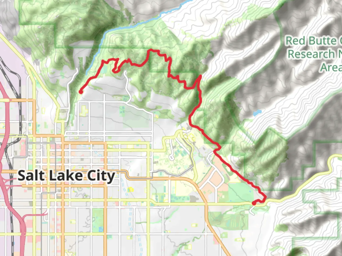
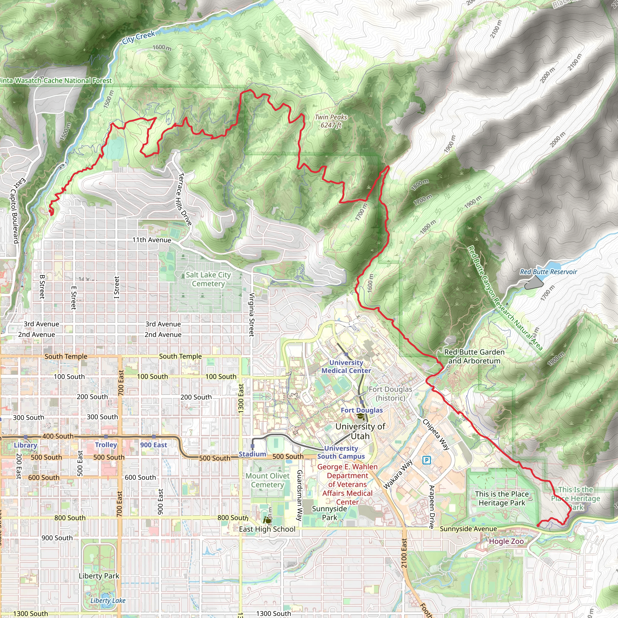
Starting near Salt Lake County, Utah, this 16 km (approximately 10 miles) point-to-point trail offers a moderately challenging hike with an elevation gain of around 700 meters (2,300 feet). The trailhead is conveniently located near the intersection of Terrace Hills Drive and North Bonneville Drive, making it accessible by car or public transport. If you're driving, parking is available along the residential streets, but be mindful of local parking regulations. For those using public transport, the nearest bus stop is at the intersection of 11th Avenue and Terrace Hills Drive, serviced by several local bus routes.
Initial Ascent and Meadow Trail
The hike begins with a steady ascent through a series of switchbacks on the Meadow Trail. This initial section is about 3 km (1.9 miles) long and gains approximately 300 meters (984 feet) in elevation. The trail winds through a mix of scrub oak and wildflowers, offering occasional glimpses of the Salt Lake Valley below. Keep an eye out for mule deer and a variety of bird species, including hawks and songbirds.
Terrace Hills Ridge Trail
At the 3 km (1.9 miles) mark, you'll transition onto the Terrace Hills Ridge Trail. This section is characterized by its rolling terrain and panoramic views. Over the next 5 km (3.1 miles), you'll gain another 200 meters (656 feet) in elevation. The ridge offers stunning vistas of the Wasatch Range to the east and the Great Salt Lake to the west. This is a great spot to take a break and enjoy the scenery. The trail here is well-marked, but it's always a good idea to have a reliable navigation tool like HiiKER to ensure you stay on track.
Historical Significance
As you hike along the ridge, you'll be traversing land that has historical significance. The area was once inhabited by the Ute and Shoshone tribes, and later became a key route for settlers during the westward expansion. Remnants of old mining operations can occasionally be seen, offering a glimpse into the region's rich history.
Dry Creek Descent
The final section of the hike is the descent into Dry Creek Canyon. This 8 km (5 miles) stretch will take you down approximately 200 meters (656 feet) in elevation. The trail here is narrower and more rugged, so watch your footing. The canyon is lush with vegetation, including cottonwoods and willows, and is a haven for wildlife such as foxes and raccoons. The sound of the creek provides a soothing backdrop as you make your way down.
Trail End and Return
The trail concludes near the Dry Creek Trailhead, located at the end of North Bonneville Drive. From here, you can either arrange for a pickup or take a short walk to the nearest bus stop for public transport back to your starting point. If you parked your car at the beginning of the trail, consider using a rideshare service to return to your vehicle.
This hike offers a diverse range of landscapes, from open meadows and ridges to lush canyons, making it a rewarding experience for those prepared for a moderately challenging trek.
What to expect?
Activity types
Comments and Reviews
User comments, reviews and discussions about the Meadow Trail, Terrace Hills Ridge Trail and Dry Creek, Utah.
4.58
average rating out of 5
19 rating(s)
