Download
Preview
Add to list
More
10.5 km
~2 hrs 53 min
476 m
Out and Back
“Explore the Lookout Peak Trail for stunning views, diverse wildlife, and historical landmarks on a rewarding hike.”
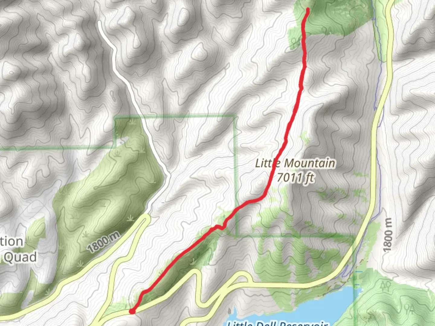
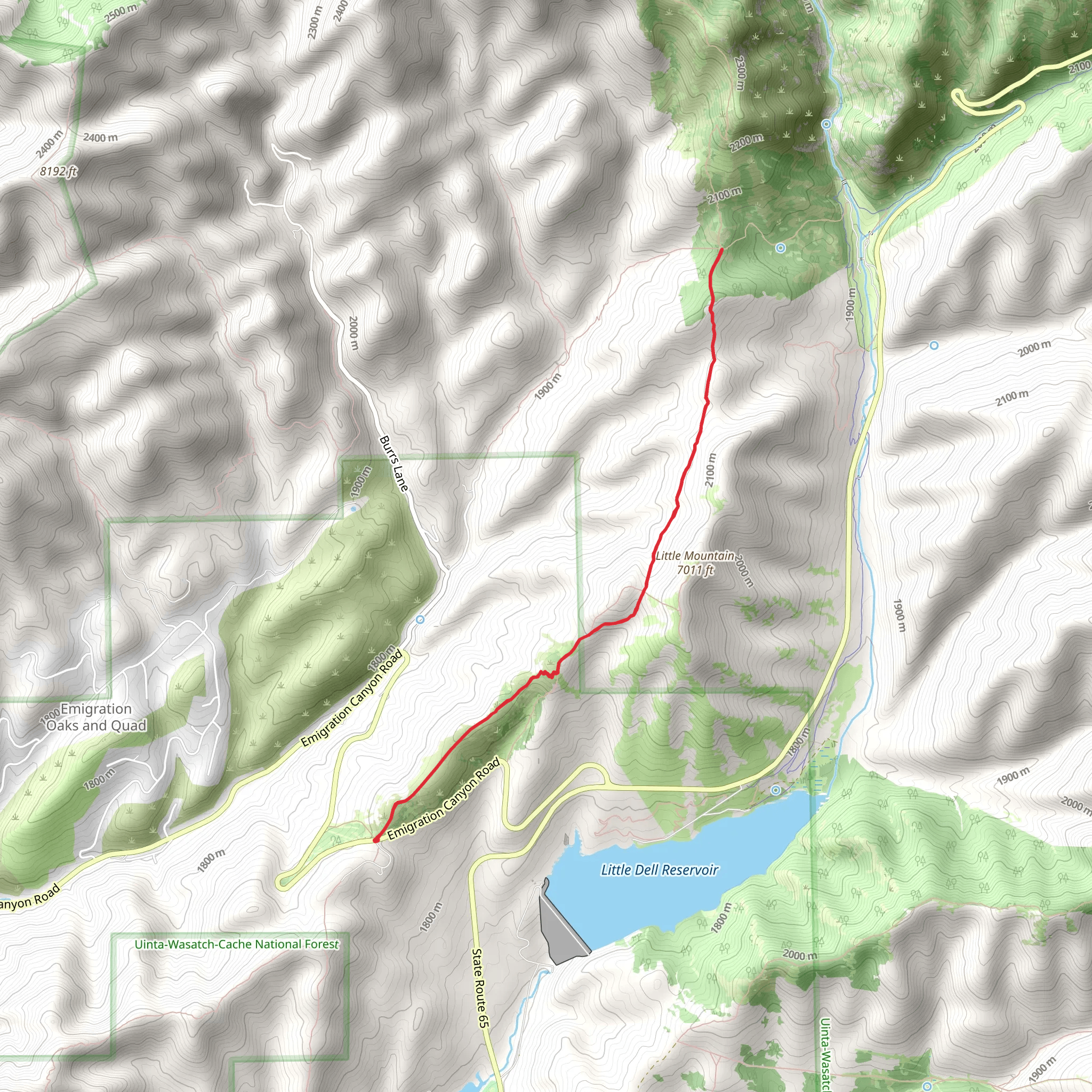
Starting near Salt Lake County, Utah, the Lookout Peak Trail Out and Back is a rewarding hike that spans approximately 11 kilometers (around 6.8 miles) with an elevation gain of about 400 meters (1,312 feet). This medium-difficulty trail offers a mix of natural beauty, historical significance, and a good workout for those looking to explore the Wasatch Range.
Getting There
To reach the trailhead, you can drive or use public transportation. If driving, head towards the nearest known landmark, the Mount Aire Trailhead, which is easily accessible from Salt Lake City. From there, follow the signs to the Lookout Peak Trailhead. For those using public transport, take a bus or light rail to the nearest stop at Millcreek Station, and then use a rideshare service to reach the trailhead.
Trail Overview
The trail begins with a gentle ascent through a mixed forest of aspen and pine, providing ample shade and a cool start to your hike. As you progress, the trail becomes steeper, offering panoramic views of the surrounding valleys and peaks. At around the 2-kilometer (1.2-mile) mark, you'll encounter a series of switchbacks that help to manage the elevation gain.
Significant Landmarks
- First Viewpoint (2.5 km / 1.5 miles): This spot offers your first clear view of the Salt Lake Valley. It's a great place to take a break and snap some photos. - Wildflower Meadow (4 km / 2.5 miles): During the spring and summer months, this meadow is bursting with wildflowers, making it a picturesque spot for a rest. - Historical Marker (5 km / 3.1 miles): About halfway through the hike, you'll find a historical marker that provides information about the early settlers of the region and their interactions with the native Ute tribes.
Flora and Fauna
The trail is home to a variety of wildlife, including mule deer, elk, and occasionally black bears. Birdwatchers will also enjoy spotting species like the Mountain Bluebird and the Western Tanager. The flora varies with elevation, starting with dense forests and transitioning to alpine meadows as you climb higher.
Final Ascent
The last 1.5 kilometers (0.9 miles) to Lookout Peak are the most challenging, with a steep incline that requires careful footing. However, the effort is well worth it. Upon reaching the summit, you'll be rewarded with 360-degree views of the Wasatch Range, the Great Salt Lake, and the distant Oquirrh Mountains.
Navigation and Safety
Given the trail's moderate difficulty, it's advisable to use a reliable navigation tool like HiiKER to keep track of your progress and ensure you stay on the correct path. Always carry enough water, especially during the hotter months, and be prepared for sudden weather changes, as conditions can vary rapidly in the mountains.
Return Journey
The return journey follows the same path, allowing you to enjoy the views from a different perspective. Take your time descending, as the steep sections can be tough on the knees.
This trail offers a perfect blend of natural beauty, physical challenge, and historical context, making it a must-do for any hiking enthusiast visiting the Salt Lake County area.
What to expect?
Activity types
Comments and Reviews
User comments, reviews and discussions about the Lookout Peak Trail Out and Back, Utah.
4.38
average rating out of 5
26 rating(s)
