Download
Preview
Add to list
More
4.5 km
~1 hrs 26 min
319 m
Out and Back
“Explore Greens Basin Trail’s 5 km of scenic beauty, wildlife, and history near Salt Lake County.”
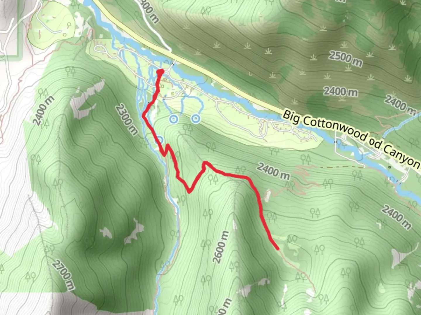
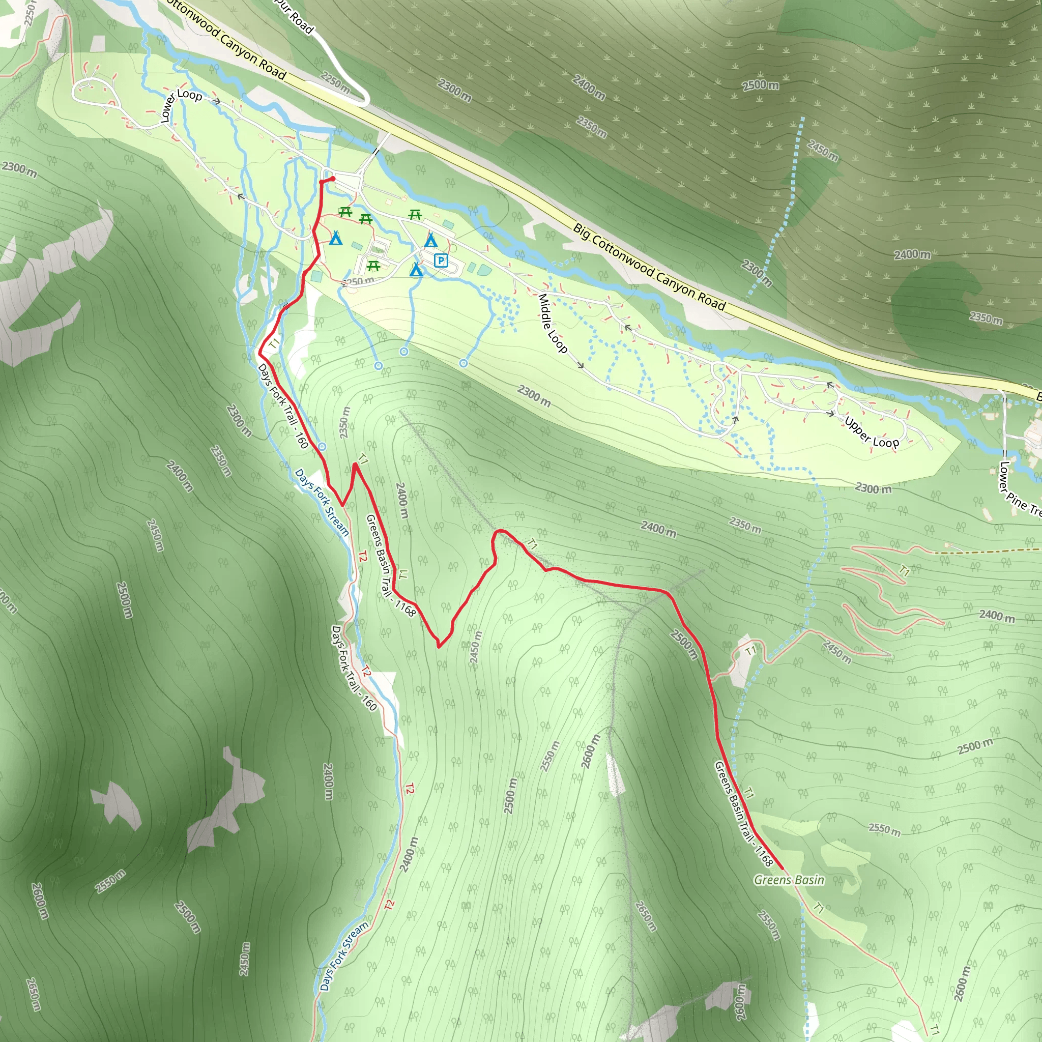
Starting near Salt Lake County, Utah, the Greens Basin Trail offers a delightful out-and-back hike that spans approximately 5 kilometers (about 3.1 miles) with an elevation gain of around 300 meters (roughly 984 feet). This trail is rated as medium difficulty, making it suitable for moderately experienced hikers.### Getting There To reach the trailhead, you can drive or use public transportation. If driving, head towards the Big Cottonwood Canyon area. The nearest significant landmark is the Mill D Trailhead, located along Big Cottonwood Canyon Road. For those using public transport, you can take a bus to the Big Cottonwood Canyon Park & Ride, then arrange for a short taxi or rideshare to the trailhead.### Trail Overview The trail begins with a gentle ascent through a lush forest of aspen and pine trees. Early in the hike, you’ll cross a small wooden bridge over a bubbling creek, a perfect spot for a quick photo or a moment of reflection. As you continue, the trail gradually becomes steeper, offering glimpses of the surrounding mountains through the trees.### Flora and Fauna Greens Basin is known for its rich biodiversity. In the spring and summer months, the trail is adorned with wildflowers such as Indian paintbrush, columbine, and lupine. Keep an eye out for wildlife; mule deer and various bird species are commonly spotted along the trail. If you're lucky, you might even see a moose grazing in the basin.### Significant Landmarks At approximately 2 kilometers (1.2 miles) into the hike, you’ll reach a scenic overlook that provides stunning views of the canyon below. This is a great spot to take a break and hydrate. Continuing onward, the trail winds through a series of switchbacks before opening up into Greens Basin itself. The basin is a serene meadow surrounded by towering peaks, offering a peaceful respite and a perfect picnic spot.### Historical Significance The area around Greens Basin has a rich history tied to early settlers and mining activities in the 19th century. Remnants of old mining equipment can occasionally be found off the main trail, serving as a reminder of the region's industrious past. The basin was also a grazing area for livestock, and you might notice old fencing and other artifacts from that era.### Navigation and Safety Given the moderate difficulty of the trail, it’s advisable to use a reliable navigation tool like HiiKER to stay on track. The trail is well-marked, but having a digital map can be reassuring, especially if you decide to explore some of the less-trodden paths around the basin.### Final Stretch The return journey follows the same path back to the trailhead. The descent offers a different perspective of the landscape, and the changing light can make familiar sights appear new and captivating. Make sure to leave no trace and pack out all your trash to preserve the natural beauty of Greens Basin for future hikers.This trail provides a rewarding experience with its combination of natural beauty, wildlife, and historical elements, making it a must-visit for anyone in the Salt Lake County area.
What to expect?
Activity types
Comments and Reviews
User comments, reviews and discussions about the Greens Basin Trail, Utah.
4.47
average rating out of 5
19 rating(s)
