Download
Preview
Add to list
More
15.2 km
~1 day 0 hrs
1467 m
Loop
“A captivating 15 km loop in Utah, offering scenic views, rich history, and moderate challenge for experienced hikers.”
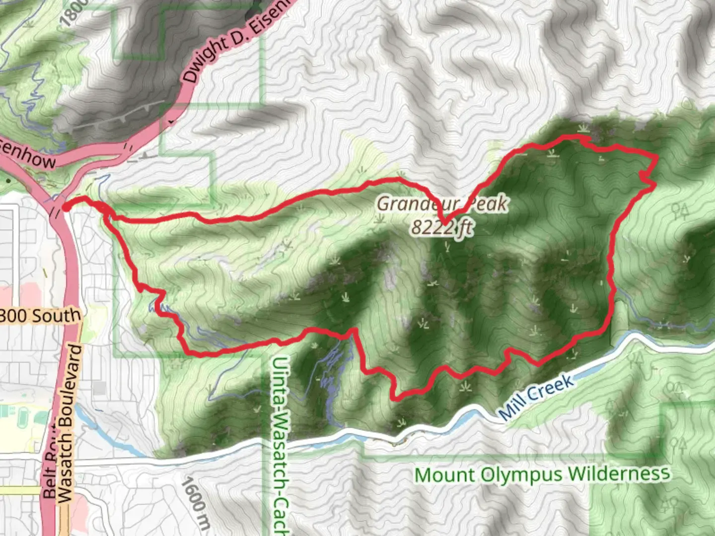
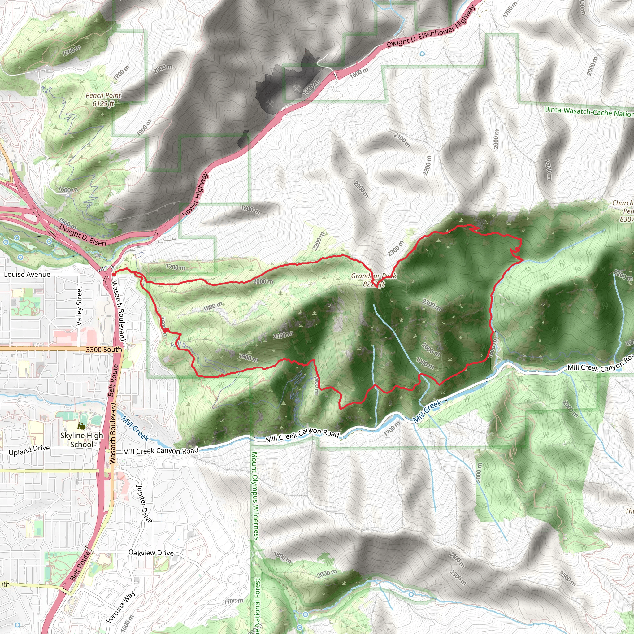
Starting near Salt Lake County, Utah, the Grandeur Peak West and Pipeline Trail is a captivating loop trail that spans approximately 15 km (9.3 miles) with an elevation gain of around 1400 meters (4593 feet). This trail offers a moderate challenge, making it suitable for hikers with some experience.
Getting There To reach the trailhead, you can drive or use public transportation. If driving, head towards the Church Fork Picnic Area in Mill Creek Canyon, which is easily accessible from Salt Lake City. For those using public transport, take a bus to the Mill Creek Canyon Park and Ride, then arrange for a short taxi or rideshare to the trailhead.
Trail Overview The trail begins at the Church Fork Picnic Area, where you can find parking and restroom facilities. The initial section of the trail is a steady ascent through a dense forest of aspen and pine trees. As you climb, you'll encounter several switchbacks that help to manage the steep elevation gain.
Key Landmarks and Sections - **Church Fork to Grandeur Peak**: The first significant landmark is the Church Fork junction, located about 2 km (1.2 miles) from the trailhead. From here, the trail continues to ascend, offering stunning views of the Salt Lake Valley. At approximately 4 km (2.5 miles) in, you'll reach the summit of Grandeur Peak, standing at an elevation of 2,682 meters (8,799 feet). This is a perfect spot to take a break and enjoy panoramic views of the Wasatch Range and the Great Salt Lake.
- Pipeline Trail: After descending from Grandeur Peak, the trail intersects with the Pipeline Trail. This section is relatively flat and runs parallel to Mill Creek, providing a gentle respite from the earlier climb. The Pipeline Trail is known for its rich biodiversity, including sightings of mule deer, wild turkeys, and various bird species. Keep an eye out for the vibrant wildflowers that bloom in the spring and summer months.
Historical Significance Mill Creek Canyon has a rich history dating back to the early settlers of the Salt Lake Valley. The area was used for logging and grazing in the 19th century, and remnants of old logging roads can still be seen along the trail. The canyon was also a popular recreational area for early 20th-century residents, and many of the trails, including the Pipeline Trail, were developed during this time.
Navigation and Safety Given the elevation gain and varying terrain, it's advisable to use a reliable navigation tool like HiiKER to stay on track. The trail is well-marked, but weather conditions can change rapidly, especially at higher elevations. Ensure you have adequate water, snacks, and layers of clothing to adapt to temperature changes.
Final Stretch The loop concludes as you descend back towards the Church Fork Picnic Area. The final section of the trail offers a gentle descent through a shaded forest, providing a peaceful end to your hike. The entire loop typically takes around 6-8 hours to complete, depending on your pace and the number of breaks you take.
This trail offers a rewarding experience with its diverse landscapes, historical significance, and abundant wildlife, making it a must-visit for any hiking enthusiast in the Salt Lake County area.
What to expect?
Activity types
Comments and Reviews
User comments, reviews and discussions about the Grandeur Peak West and Pipeline Trail, Utah.
4.71
average rating out of 5
17 rating(s)
