Download
Preview
Add to list
More
8.5 km
~2 hrs 27 min
457 m
Out and Back
“Explore the moderate Gas Line and Ghost Falls Trail, rich in history, wildlife, and scenic views.”
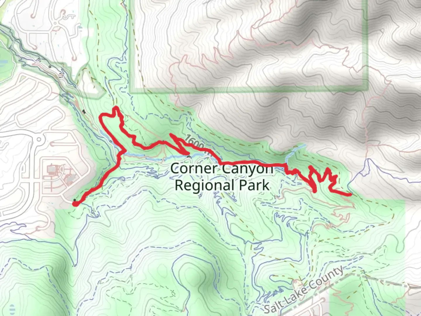
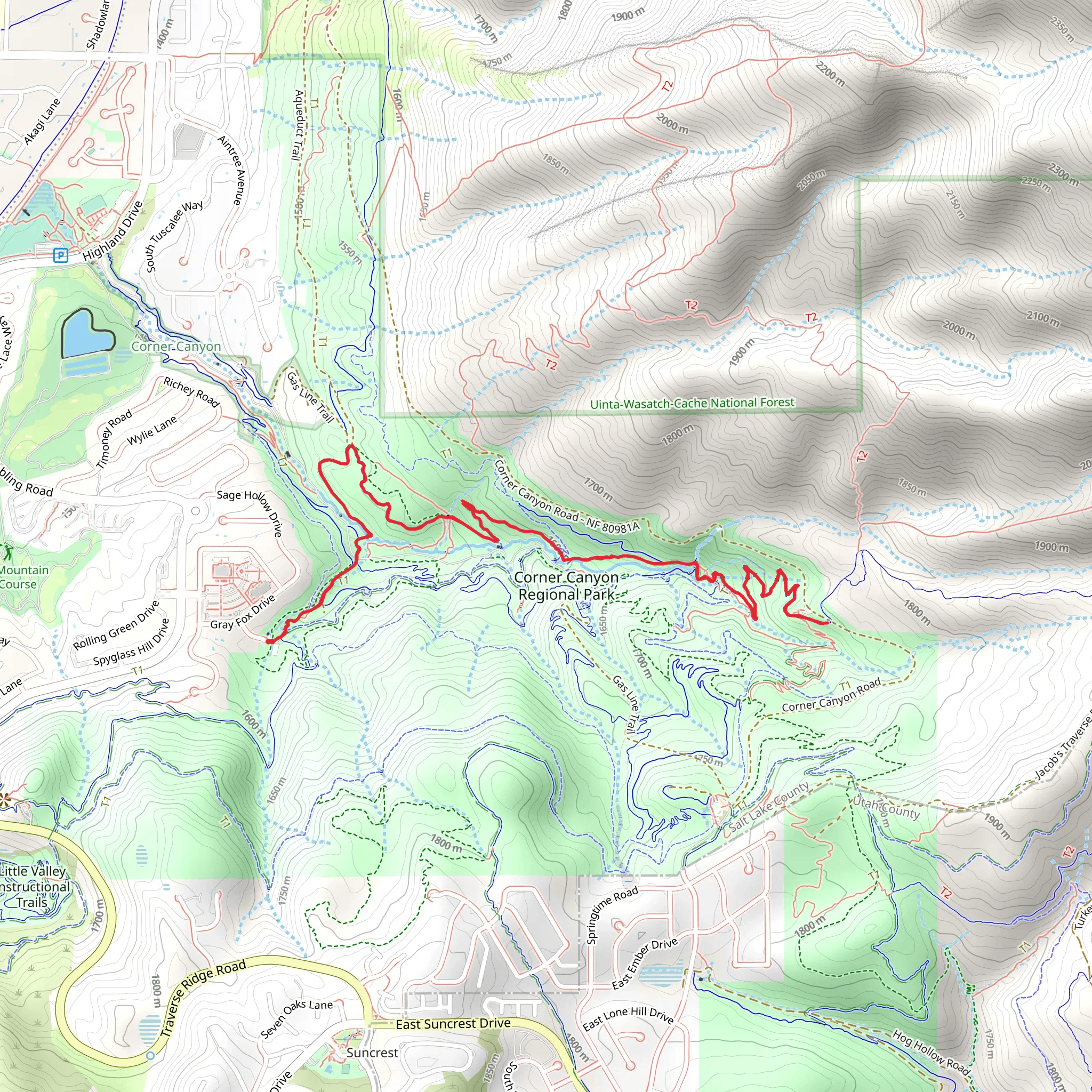
Starting your hike near Salt Lake County, Utah, the Gas Line and Ghost Falls Walk is an 8 km (approximately 5 miles) out-and-back trail with an elevation gain of around 400 meters (about 1,312 feet). This trail is rated as medium difficulty, making it suitable for moderately experienced hikers.### Getting There To reach the trailhead, you can drive or use public transportation. If driving, head towards the Draper area in Salt Lake County. The nearest significant landmark is the Orson Smith Trailhead Park, located at 12601 Highland Dr, Draper, UT 84020. There is ample parking available here. For those using public transport, you can take the UTA bus service to the Draper area and then either walk or take a short ride-share to the trailhead.### Trail Overview The trail begins with a gradual ascent, winding through a mix of scrub oak and juniper trees. Early on, you'll notice the well-maintained path, which is wide and easy to follow. As you progress, the trail narrows and becomes more rugged, offering a more immersive natural experience.### Significant Landmarks and Nature At approximately 1.5 km (0.9 miles) into the hike, you'll encounter the first significant landmark: the Gas Line. This section of the trail runs parallel to a natural gas pipeline, which is marked by a series of yellow posts. While not particularly scenic, it serves as a useful navigation point.Continuing on, around the 3 km (1.9 miles) mark, you'll reach Ghost Falls. This small but picturesque waterfall is a great spot to take a break and enjoy the serene surroundings. The falls are particularly impressive in the spring when snowmelt increases the water flow. The area around Ghost Falls is lush with vegetation, including wildflowers in the spring and summer months.### Wildlife and Flora The trail is home to a variety of wildlife. Keep an eye out for mule deer, which are commonly seen in the early morning or late afternoon. Birdwatchers will also enjoy spotting species such as the American kestrel and the Western scrub-jay. The flora varies with elevation; lower sections are dominated by scrub oak, while higher elevations feature stands of aspen and conifer trees.### Historical Significance The region has a rich history, with evidence of Native American habitation dating back thousands of years. The area was also significant during the westward expansion of the United States, serving as a route for pioneers and settlers. While hiking, you may come across remnants of old mining operations, a testament to the area's historical significance in the mining industry.### Navigation and Safety Given the moderate difficulty of the trail, it's advisable to use a reliable navigation tool like HiiKER to keep track of your progress and ensure you stay on the correct path. The trail is well-marked, but having a digital map can provide additional peace of mind.### Final Stretch The return journey follows the same path, allowing you to enjoy the scenery from a different perspective. The descent offers a chance to appreciate the expansive views of the Salt Lake Valley, especially as you near the trailhead.This hike offers a balanced mix of natural beauty, moderate physical challenge, and historical intrigue, making it a rewarding experience for those who undertake it.
What to expect?
Activity types
Comments and Reviews
User comments, reviews and discussions about the Gas Line and Ghost Falls Walk, Utah.
4.45
average rating out of 5
20 rating(s)
