Download
Preview
Add to list
More
9.4 km
~2 hrs 41 min
486 m
Out and Back
“The Ensign Peak via Hell Canyon Trail offers a scenic 9 km hike with rewarding views and historical significance.”
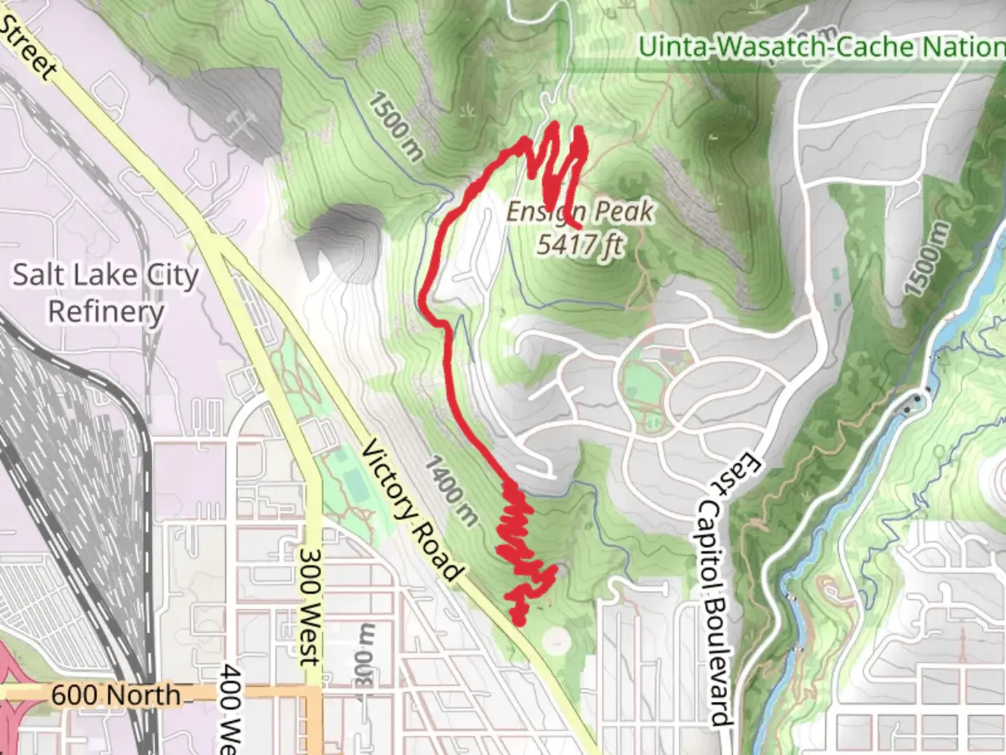
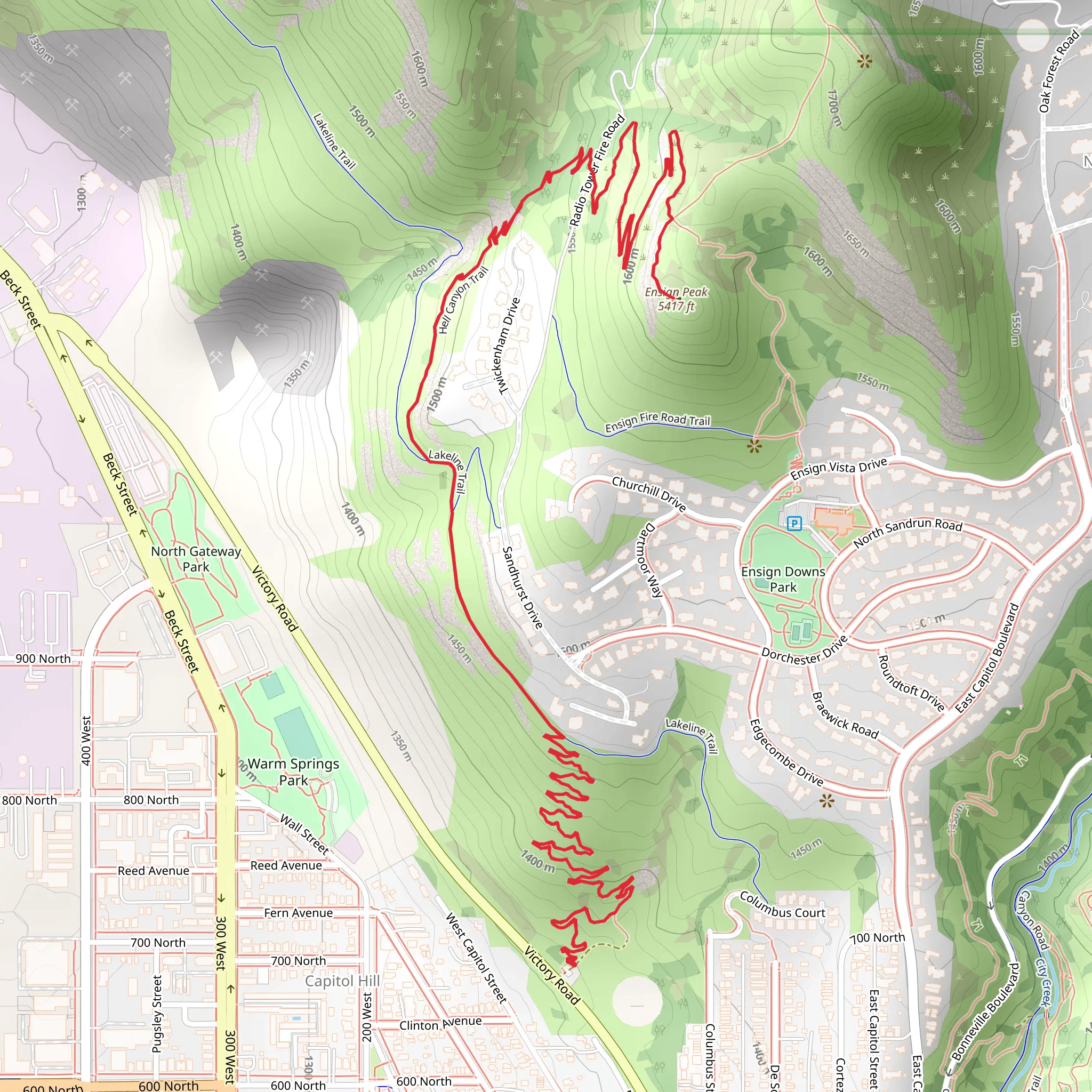
Starting near Salt Lake County, Utah, the Ensign Peak via Hell Canyon Trail offers a rewarding out-and-back hike that spans approximately 9 km (5.6 miles) with an elevation gain of around 400 meters (1,312 feet). This trail is rated as medium difficulty, making it accessible for moderately experienced hikers.
Getting There To reach the trailhead, you can drive or use public transportation. If driving, head towards the Ensign Peak Nature Park, located near the Utah State Capitol. The nearest significant landmark is the Utah State Capitol Building, which is easily accessible from downtown Salt Lake City. For those using public transport, several bus routes service the area around the Capitol, making it a convenient starting point.
Trail Overview The trail begins at the Ensign Peak Nature Park, where you can find parking and basic amenities. The initial section of the trail is relatively gentle, winding through Hell Canyon. As you progress, the trail becomes steeper, offering a moderate challenge as you ascend.
Significant Landmarks and Points of Interest - **Hell Canyon**: The trail meanders through Hell Canyon, a scenic area characterized by its rugged terrain and diverse plant life. Keep an eye out for native flora such as sagebrush and juniper trees. - **Wildlife**: The area is home to various wildlife, including mule deer, rabbits, and a variety of bird species. Early morning or late afternoon hikes increase your chances of spotting these animals. - **Historical Significance**: Ensign Peak holds historical importance as it was the location where Brigham Young and other Mormon pioneers surveyed the Salt Lake Valley in 1847. A monument at the peak commemorates this event.
Elevation and Terrain The trail's elevation gain of 400 meters (1,312 feet) is spread over the 9 km (5.6 miles) distance, with the steepest sections occurring in the latter half of the hike. The terrain varies from well-trodden paths to rocky sections, so sturdy hiking boots are recommended.
Navigation For navigation, it is advisable to use HiiKER, which provides detailed maps and real-time updates. The trail is well-marked, but having a reliable navigation tool ensures you stay on track, especially in areas where the path may become less distinct.
Final Ascent As you approach the final ascent to Ensign Peak, the trail becomes steeper and more challenging. The effort is well worth it, as the summit offers panoramic views of the Salt Lake Valley, the Great Salt Lake, and the surrounding mountains. The peak is a popular spot for photography, so bring a camera to capture the stunning vistas.
Preparation Tips - **Water and Snacks**: Ensure you carry enough water, especially during the hotter months, as the trail offers limited shade. Snacks or a light meal can help maintain your energy levels. - **Weather**: Check the weather forecast before heading out. The trail can be slippery after rain, and temperatures can vary significantly. - **Clothing**: Dress in layers to accommodate changing weather conditions and bring a hat and sunscreen for sun protection.
By following these guidelines and being well-prepared, you can fully enjoy the Ensign Peak via Hell Canyon Trail and the natural beauty and historical significance it offers.
What to expect?
Activity types
Comments and Reviews
User comments, reviews and discussions about the Ensign Peak via Hell Canyon Trail, Utah.
4.29
average rating out of 5
17 rating(s)
