Download
Preview
Add to list
More
22.3 km
~1 day 2 hrs
1791 m
Out and Back
“Explore Enniss Peak for stunning views, historical sites, and a challenging 22-kilometer hike near Salt Lake County.”
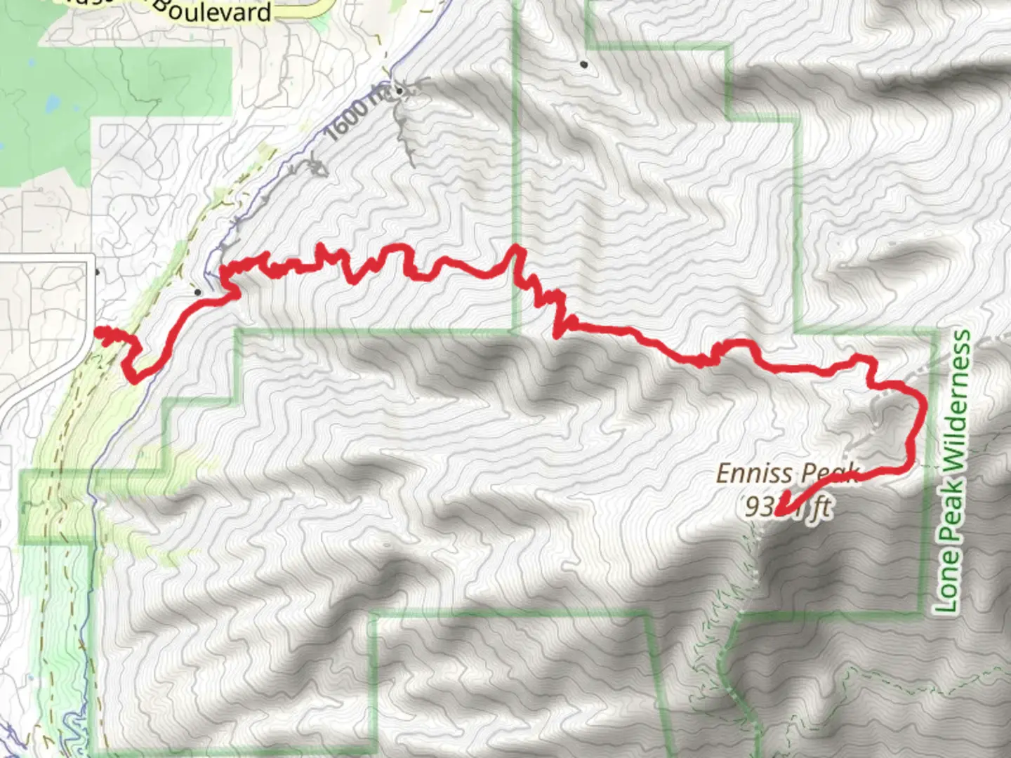
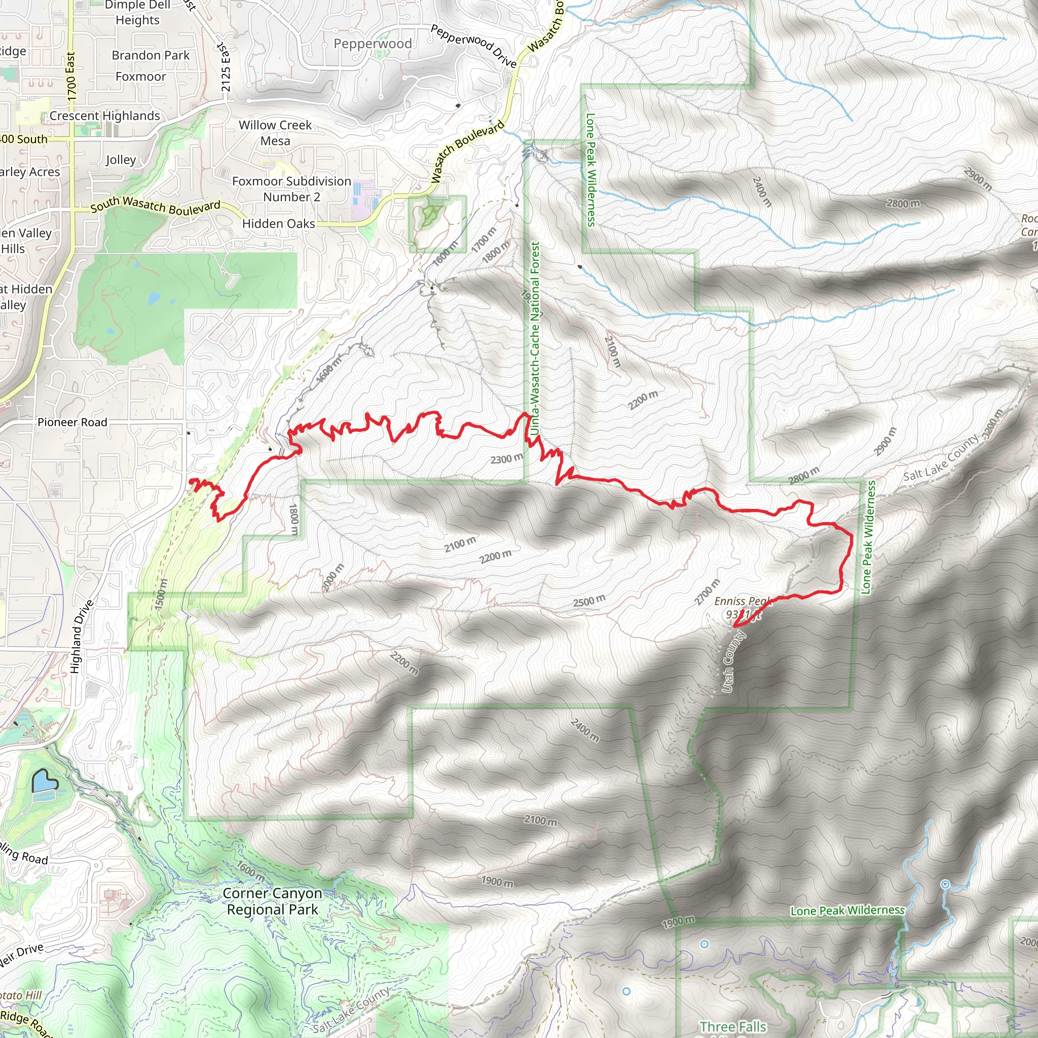
Starting your adventure near Salt Lake County, Utah, the trailhead for Enniss Peak via Trail of the Eagle is conveniently accessible by car. If you're using public transport, you can take a bus to the nearest stop at the intersection of Wasatch Boulevard and Little Cottonwood Canyon Road, then proceed to the trailhead by foot or a short taxi ride.
The trail spans approximately 22 kilometers (13.7 miles) round trip, with an elevation gain of around 1700 meters (5577 feet). This out-and-back trail is rated as medium difficulty, making it suitable for hikers with a moderate level of experience and fitness.
Initial Ascent and Terrain
The first section of the trail is a steady ascent through a dense forest of pine and aspen trees. The path is well-marked, but it's advisable to use HiiKER for navigation to ensure you stay on track. After about 3 kilometers (1.9 miles), you'll reach a small clearing with your first significant elevation gain of around 300 meters (984 feet). This is a great spot to take a short break and hydrate.
Mid-Trail Landmarks
Continuing on, the trail becomes steeper and rockier. Around the 7-kilometer (4.3-mile) mark, you'll encounter a series of switchbacks that will challenge your endurance. Here, the elevation gain is more pronounced, adding another 500 meters (1640 feet) over the next 2 kilometers (1.2 miles). Keep an eye out for the diverse wildlife, including mule deer and various bird species.
Historical Significance
As you approach the 10-kilometer (6.2-mile) point, you'll come across remnants of old mining operations from the late 19th century. This area was once bustling with miners searching for precious metals, and you can still see some of the old equipment and structures. It's a fascinating glimpse into the region's history and a reminder of the rugged determination of those early settlers.
Final Push to the Summit
The last 1 kilometer (0.6 miles) to the summit of Enniss Peak is the most challenging, with an elevation gain of approximately 400 meters (1312 feet). The trail narrows and becomes more exposed, so caution is advised. Upon reaching the summit, you'll be rewarded with panoramic views of the Salt Lake Valley and the surrounding Wasatch Range. On a clear day, you can see for miles, making the strenuous climb well worth the effort.
Descent
The descent follows the same path back to the trailhead. While it's easier on the lungs, the steep sections can be tough on the knees, so take your time and use trekking poles if you have them. The total distance back to the trailhead is another 11 kilometers (6.8 miles), retracing your steps through the diverse landscapes and historical sites you encountered on the way up.
Preparation and Safety
Given the elevation gain and length of the trail, it's crucial to be well-prepared. Bring plenty of water, snacks, and layers of clothing to adjust to changing weather conditions. The trail can be quite exposed in sections, so sunscreen and a hat are recommended. Always check the weather forecast before heading out, as conditions can change rapidly in the mountains.
Using HiiKER for navigation will help you stay on course and provide real-time updates on your progress. This trail offers a mix of natural beauty, historical intrigue, and physical challenge, making it a rewarding experience for those who are well-prepared.
What to expect?
Activity types
Comments and Reviews
User comments, reviews and discussions about the Enniss Peak via Trail of the Eagle, Utah.
4.36
average rating out of 5
22 rating(s)
