Download
Preview
Add to list
More
3.9 km
~1 hrs 0 min
137 m
Out and Back
“The Eagle Crest Walk in Salt Lake County blends scenic views, historical markers, and moderate hiking challenges.”
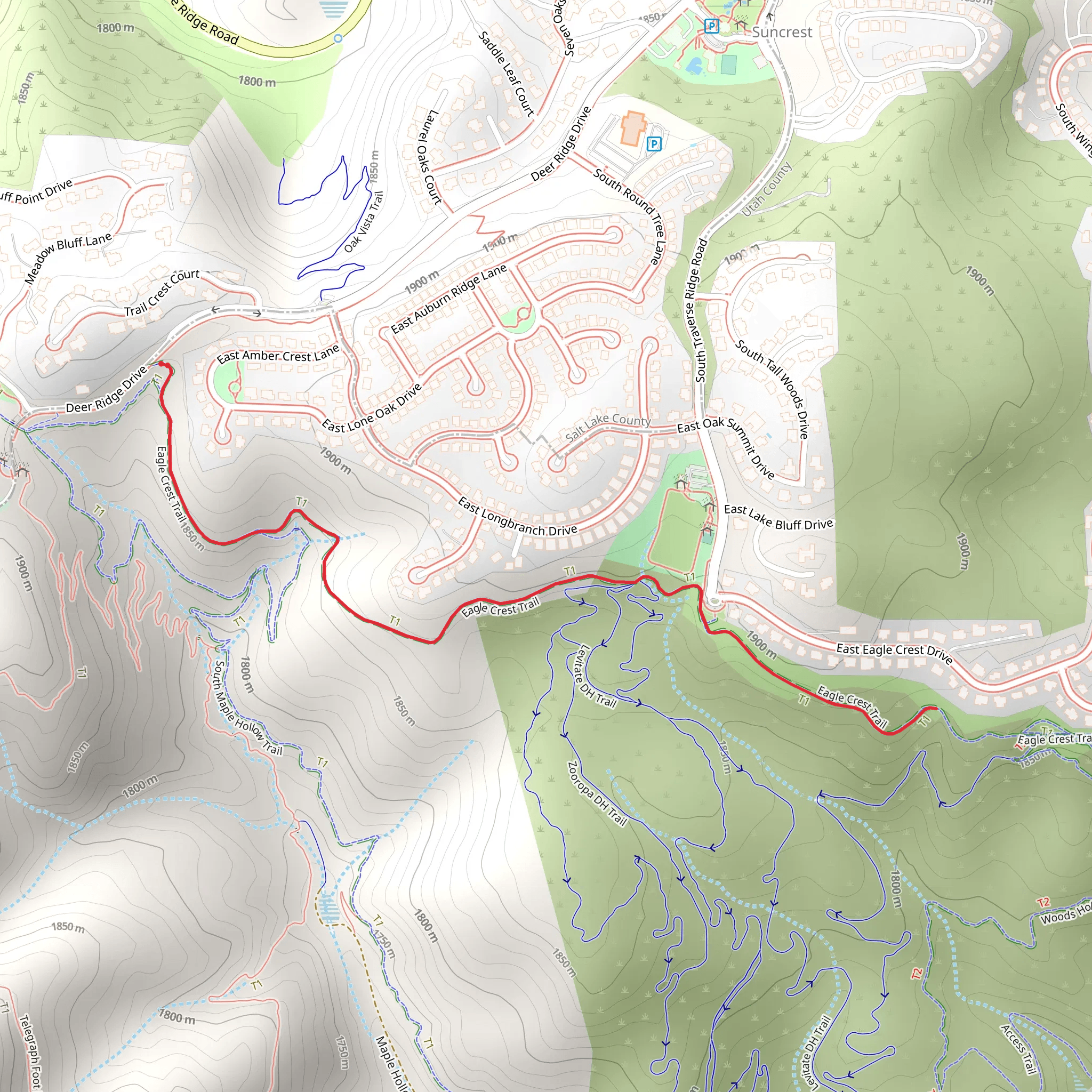
Starting near Salt Lake County, Utah, the Eagle Crest Walk is a delightful out-and-back trail that spans approximately 4 kilometers (2.5 miles) with an elevation gain of around 100 meters (328 feet). This medium-difficulty trail offers a rewarding experience for hikers of various skill levels.
Getting There To reach the trailhead, you can drive or use public transportation. If driving, head towards the nearest significant landmark, which is the Salt Lake City International Airport. From there, it's a short drive to the trailhead. For those using public transport, take a bus or train to the nearest station in Salt Lake City and then a local bus or rideshare to the trailhead area.
Trail Overview The trail begins with a gentle ascent, allowing hikers to ease into the journey. The initial part of the trail is well-marked and winds through a mix of open meadows and shaded forest areas. As you progress, the trail becomes slightly steeper, but the well-maintained path ensures a comfortable hike.
Landmarks and Nature Around the 1-kilometer (0.6-mile) mark, you'll encounter a picturesque viewpoint that offers stunning vistas of the surrounding landscape. This is an excellent spot for a short break and some photography. Continuing on, the trail meanders through a dense forest area where you might spot local wildlife such as deer, squirrels, and various bird species.
Historical Significance The region around the Eagle Crest Walk has a rich history. It was once inhabited by Native American tribes, and you might come across some historical markers or plaques that provide insights into their way of life. Additionally, the area played a role during the westward expansion of the United States, with early settlers using nearby routes for travel and trade.
Navigation and Safety For navigation, it's recommended to use the HiiKER app, which provides detailed maps and real-time updates. The trail is generally well-marked, but having a reliable navigation tool can enhance your hiking experience and ensure you stay on track.
Final Stretch As you approach the 2-kilometer (1.25-mile) point, the trail levels out, leading you to the crest. Here, you'll be rewarded with panoramic views of the valley below and the distant mountain ranges. This is the perfect spot to rest, enjoy a snack, and take in the breathtaking scenery before heading back the way you came.
Wildlife and Flora The trail is home to a diverse range of flora and fauna. Depending on the season, you might see wildflowers in full bloom, adding a splash of color to the landscape. Keep an eye out for local wildlife, but remember to maintain a respectful distance and avoid disturbing their natural habitat.
Return Journey The return journey follows the same path, allowing you to revisit the scenic spots and perhaps notice details you missed on the way up. The descent is relatively easy, making for a pleasant end to your hike.
The Eagle Crest Walk offers a balanced mix of natural beauty, historical significance, and moderate physical challenge, making it a must-visit for hikers in the Salt Lake County area.
What to expect?
Activity types
Comments and Reviews
User comments, reviews and discussions about the Eagle Crest Walk, Utah.
4.43
average rating out of 5
14 rating(s)
