Download
Preview
Add to list
More
3.2 km
~45 min
63 m
Loop
“Explore Dimple Dell Trail's easy 3 km loop, rich with history, wildlife, and scenic beauty.”
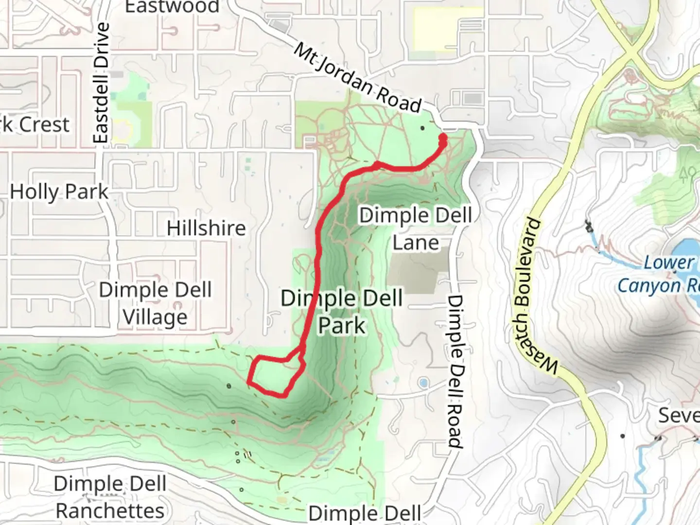
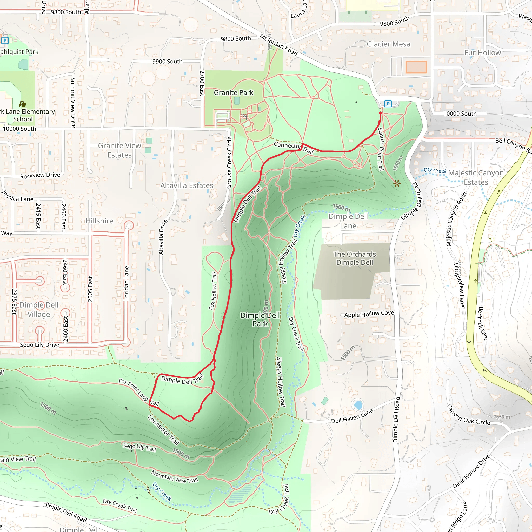
Starting near Salt Lake County, Utah, the Dimple Dell Trail and Fox Point Loop Trail offers a delightful 3 km (1.86 miles) loop with no significant elevation gain, making it accessible for a wide range of hikers. The trailhead is conveniently located near the Dimple Dell Regional Park, which can be accessed by car or public transport. If driving, you can park at the Dimple Dell Regional Park parking lot near 10400 S 1300 E, Sandy, UT. For those using public transport, the Utah Transit Authority (UTA) bus routes service the area, with stops close to the park entrance.### Trail OverviewThe trail meanders through the scenic Dimple Dell Regional Park, a natural oasis amidst the urban sprawl of Salt Lake County. The park itself spans over 630 acres, offering a mix of open meadows, wooded areas, and riparian zones. The trail is well-marked and maintained, making navigation straightforward. For those who prefer digital navigation tools, the HiiKER app provides detailed maps and real-time tracking.### Flora and FaunaAs you embark on the trail, you'll notice a diverse array of plant life. The park is home to native grasses, wildflowers, and shrubs, which are particularly vibrant in the spring and early summer. Cottonwood and willow trees line the creek beds, providing shade and a cool respite during warmer months. Wildlife enthusiasts will appreciate the opportunity to spot various bird species, including hawks, owls, and songbirds. Keep an eye out for mule deer, rabbits, and the occasional fox, especially during the early morning or late afternoon hours.### Significant LandmarksApproximately 1 km (0.62 miles) into the hike, you'll come across the historic Lone Peak Tunnel, a relic from the early 20th century when the area was used for mining. The tunnel is a fascinating glimpse into the region's past and offers a cool, shaded spot to take a break. Further along, around the 2 km (1.24 miles) mark, you'll encounter the picturesque Dimple Dell Creek. The creek is a great spot for a quick rest and offers opportunities for nature photography.### Trail Conditions and SafetyThe trail surface is a mix of packed dirt and gravel, making it suitable for most types of footwear. However, after rain, certain sections can become muddy, so waterproof hiking boots are recommended during wetter seasons. While the trail is rated as medium difficulty, it's essential to carry enough water, especially during the summer months when temperatures can soar. There are no significant elevation changes, but the trail does have some gentle undulations that add a bit of variety to the hike.### Getting ThereIf you're driving, set your GPS to 10400 S 1300 E, Sandy, UT, and you'll find ample parking at the Dimple Dell Regional Park lot. For public transport users, the UTA bus routes 201 and 213 have stops near the park entrance, making it a convenient option for those without a car.### Historical SignificanceThe Dimple Dell area has a rich history, dating back to the early settlers and Native American tribes who originally inhabited the region. The Lone Peak Tunnel is a testament to the area's mining history, providing a tangible link to the past. The park itself was established to preserve the natural landscape amidst the growing urban development, offering a sanctuary for both wildlife and people.This trail is a perfect blend of natural beauty, historical intrigue, and accessibility, making it a must-visit for anyone in the Salt Lake County area.
What to expect?
Activity types
Comments and Reviews
User comments, reviews and discussions about the Dimple Dell Trail and Fox Point Loop Trail, Utah.
4.58
average rating out of 5
19 rating(s)
