Download
Preview
Add to list
More
7.1 km
~2 hrs 35 min
709 m
Out and Back
“Embark on a moderate 7-kilometer hike to Desolation Peak for stunning views and historical intrigue.”
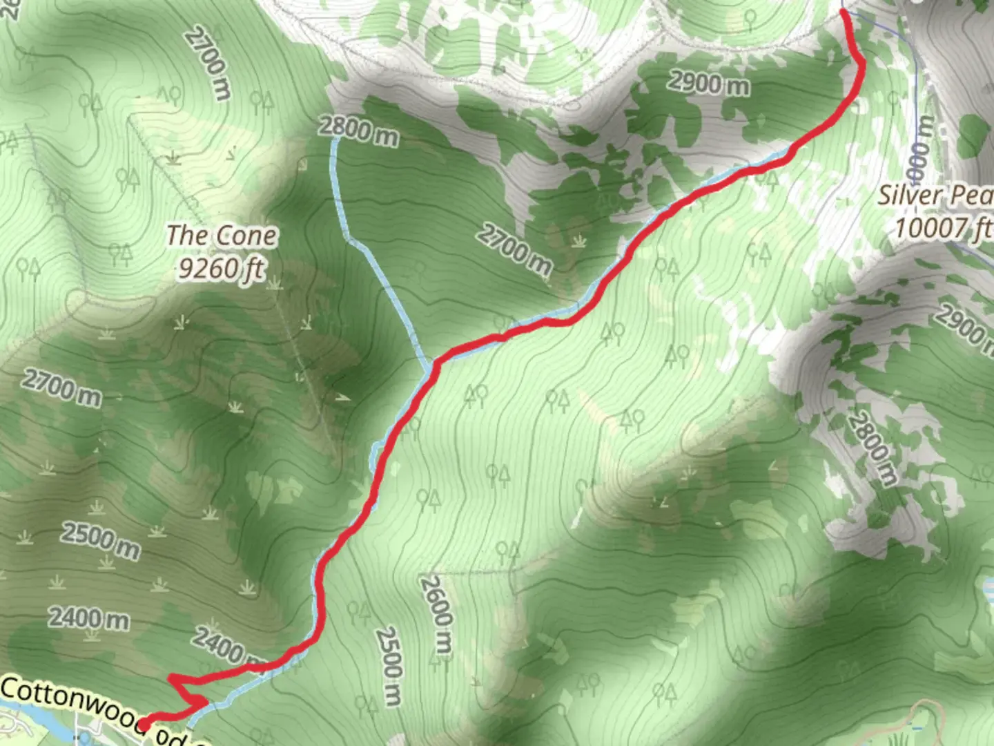
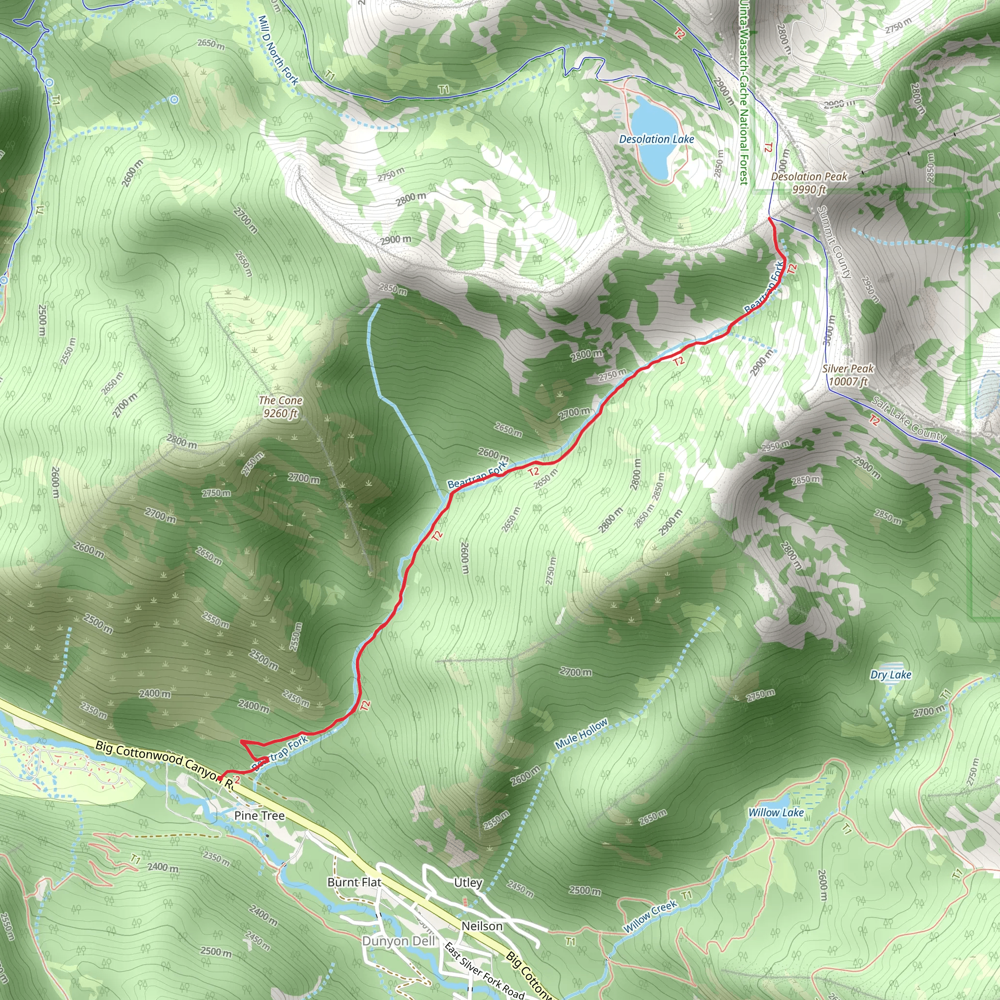
Starting your adventure near Salt Lake County, Utah, the Desolation Peak via Beartrap Fork Trail offers a rewarding out-and-back hike that spans approximately 7 kilometers (4.3 miles) with an elevation gain of around 700 meters (2,300 feet). This trail is rated as medium difficulty, making it suitable for moderately experienced hikers.### Getting There To reach the trailhead, you can drive or use public transportation. If driving, head towards Big Cottonwood Canyon Road (UT-190) and look for the Beartrap Fork Trailhead, which is located near the Mill D North Fork Trailhead. For those using public transport, you can take a bus to the Big Cottonwood Canyon Park and Ride, and from there, arrange for a short taxi or rideshare to the trailhead.### Trail Overview The trail begins with a gentle ascent through a lush forest of aspen and pine trees. Early on, you’ll cross a small creek, which can be a refreshing spot to take a quick break. As you continue, the trail becomes steeper and rockier, so sturdy hiking boots are recommended.### Significant Landmarks and Nature Around the 2-kilometer (1.2-mile) mark, you’ll encounter a beautiful meadow filled with wildflowers during the spring and summer months. This is a great spot for photography and a short rest. Keep an eye out for local wildlife such as mule deer, squirrels, and various bird species.### Historical Significance The region has a rich history tied to early settlers and miners. The trail itself was used by miners in the late 19th century, and remnants of old mining equipment can occasionally be spotted off the main path. This adds a layer of historical intrigue to your hike.### Reaching Desolation Peak As you approach the 5-kilometer (3.1-mile) mark, the trail becomes more challenging with a series of switchbacks leading up to Desolation Peak. The effort is well worth it, as the summit offers panoramic views of the surrounding Wasatch Mountains and the Salt Lake Valley. On a clear day, you can see for miles, making it an excellent spot for a picnic or simply to soak in the natural beauty.### Navigation and Safety Given the elevation gain and the sometimes rocky terrain, it’s advisable to use a reliable navigation tool like HiiKER to stay on track. The trail is well-marked, but having a digital map can provide extra assurance. Always carry sufficient water, snacks, and a first-aid kit. Weather can change rapidly in the mountains, so layers and a rain jacket are also recommended.### Return Journey The descent follows the same path back to the trailhead. While descending, take your time to enjoy the different perspectives and perhaps spot some wildlife you missed on the way up. The return journey offers a chance to reflect on the diverse landscapes and historical elements you’ve encountered.This trail offers a blend of natural beauty, moderate physical challenge, and a touch of historical significance, making it a fulfilling hike for those looking to explore the Wasatch Mountains.
What to expect?
Activity types
Comments and Reviews
User comments, reviews and discussions about the Desolation Peak via Beartrap Fork Trail, Utah.
4.45
average rating out of 5
20 rating(s)
