Download
Preview
Add to list
More
7.1 km
~2 hrs 4 min
395 m
Loop
“Clarks Trail and Rush Loop offers a scenic, moderate 7 km hike rich in nature and history.”
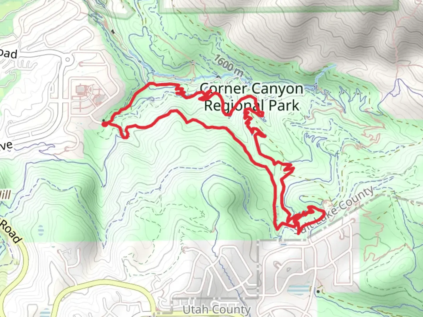
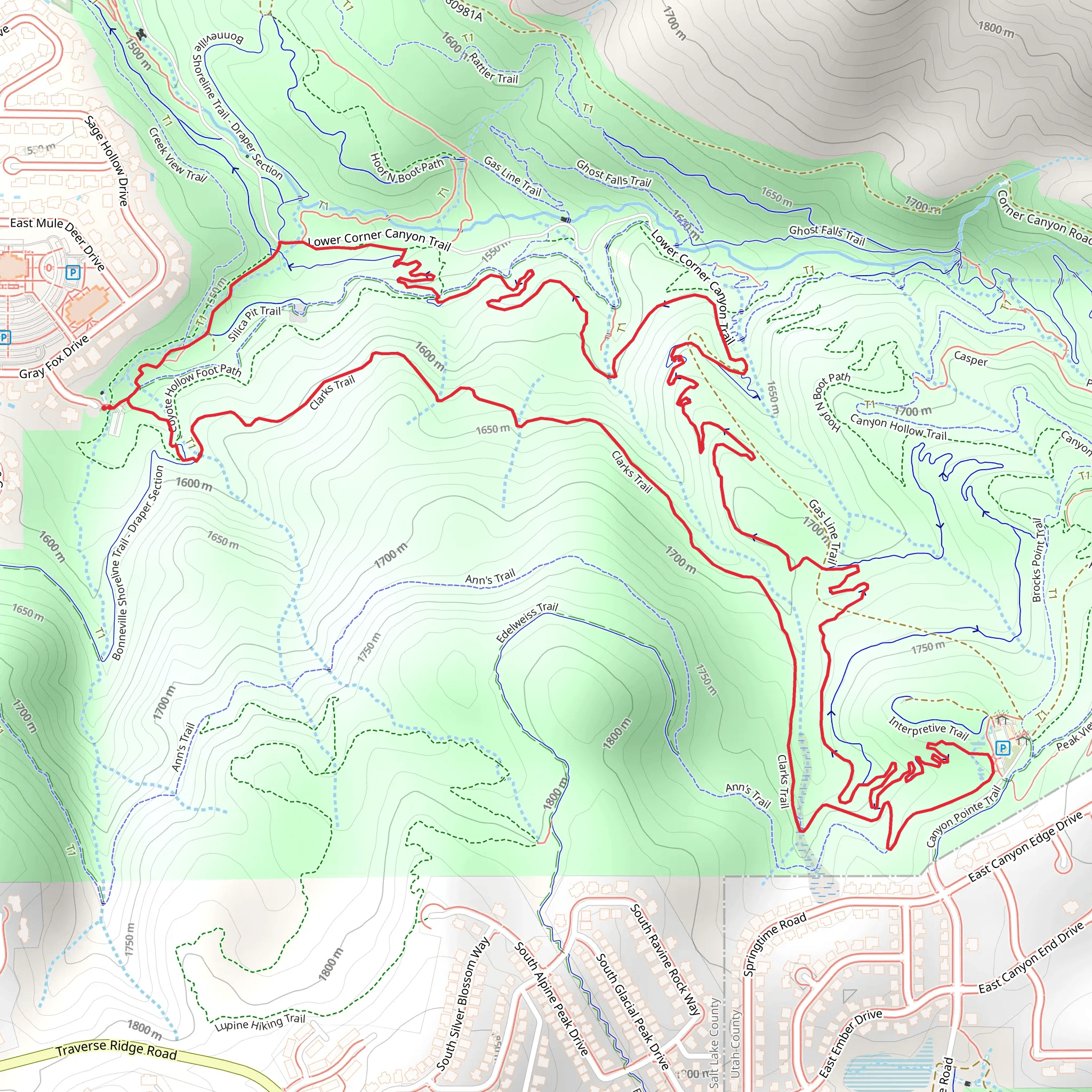
Starting your adventure near Salt Lake County, Utah, Clarks Trail and Rush Loop offers a delightful 7 km (approximately 4.3 miles) journey with an elevation gain of around 300 meters (984 feet). This loop trail is rated as medium difficulty, making it suitable for moderately experienced hikers looking for a rewarding day hike.### Getting There To reach the trailhead, you can drive or use public transportation. If driving, head towards the nearest known landmark, the Mill Creek Canyon, which is easily accessible from Salt Lake City. From there, follow the signs to the trailhead parking area. For those using public transport, take a bus or shuttle service to Mill Creek Canyon, and then it's a short walk to the trailhead.### Trail Overview The trail begins with a gentle ascent through a mixed forest of pine and aspen trees. Early in the hike, you'll encounter a series of switchbacks that help you gain elevation steadily. After about 1.5 km (0.9 miles), you'll reach a small clearing with a beautiful view of the surrounding canyon. This is a great spot to take a short break and enjoy the scenery.### Significant Landmarks and Nature As you continue, the trail meanders through dense forest and open meadows. Around the 3 km (1.9 miles) mark, you'll come across a picturesque stream that runs parallel to the trail for a short distance. This area is rich in wildlife; keep an eye out for deer, squirrels, and a variety of bird species. The stream is also a good spot to refill your water bottles, provided you have a water filter.### Historical Significance The region around Clarks Trail and Rush Loop has a rich history. Mill Creek Canyon was historically used by early settlers for logging and milling, which is how it got its name. Remnants of old logging equipment and mill foundations can still be found along the trail, offering a glimpse into the area's past.### Navigation and Safety Navigating the trail is straightforward, but it's always a good idea to have a reliable navigation tool. HiiKER is an excellent app for this purpose, providing detailed maps and real-time GPS tracking. The trail is well-marked, but there are a few junctions where having a map can be particularly helpful.### Final Stretch The final section of the loop takes you through a series of rolling hills before descending back towards the trailhead. This part of the trail offers stunning views of the canyon and the distant Salt Lake Valley. The descent can be a bit steep in places, so take your time and watch your footing.### Wildlife and Flora Throughout the hike, you'll encounter a diverse range of flora, including wildflowers in the spring and summer months. The area is also home to various wildlife, so it's advisable to carry bear spray and make noise to avoid surprising any animals.### Practical Tips - Wear sturdy hiking boots with good ankle support. - Bring plenty of water and snacks. - Check the weather forecast before heading out, as conditions can change rapidly. - Pack a first-aid kit and know basic first-aid procedures.This trail offers a perfect blend of natural beauty, historical significance, and moderate challenge, making it a must-visit for any hiking enthusiast in the Salt Lake County area.
What to expect?
Activity types
Comments and Reviews
User comments, reviews and discussions about the Clarks Trail and Rush Loop, Utah.
4.73
average rating out of 5
15 rating(s)
