Download
Preview
Add to list
More
10.4 km
~2 hrs 36 min
314 m
Out and Back
“The City Creek Trail offers a 10 km hike rich in natural beauty and historical significance.”
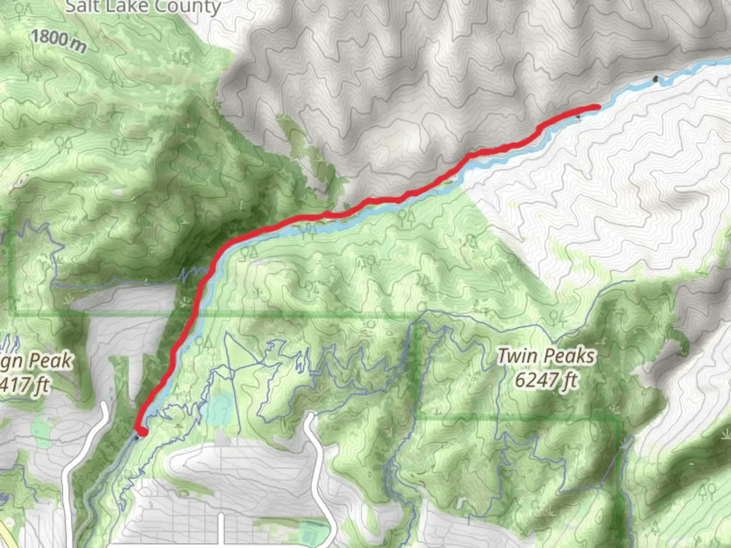
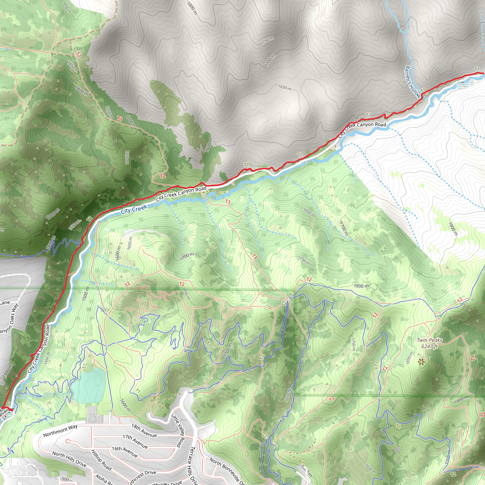
Starting near Salt Lake County, Utah, the City Creek Trail offers a rewarding out-and-back hike spanning approximately 10 km (6.2 miles) with an elevation gain of around 300 meters (984 feet). This medium-difficulty trail is perfect for those looking to experience the natural beauty and historical significance of the area.
Getting There To reach the trailhead, you can either drive or use public transportation. If driving, head towards the Bonneville Boulevard area, where you can find parking near the entrance to City Creek Canyon. For those using public transport, the Utah Transit Authority (UTA) offers bus services that can drop you off near the trailhead. Check the UTA website for the most current routes and schedules.
Trail Overview The trail begins with a gentle ascent, winding through lush greenery and offering glimpses of the City Creek stream. Early on, you'll encounter a mix of deciduous and coniferous trees, providing ample shade and a cool environment, especially during the summer months. The first 2 km (1.2 miles) are relatively easy, making it a great warm-up for the more challenging sections ahead.
Significant Landmarks and Nature Around the 3 km (1.9 miles) mark, you'll come across a small waterfall, a perfect spot for a quick rest and some photos. The trail then begins to climb more steeply, with switchbacks that offer panoramic views of the surrounding canyon and Salt Lake Valley. Keep an eye out for local wildlife, including mule deer, various bird species, and even the occasional fox.
Historical Significance City Creek Canyon has a rich history, dating back to the early Mormon settlers who used the creek as a vital water source. As you hike, you'll notice remnants of old irrigation systems and historical markers that provide insight into the area's past. The trail also passes near the site of the original Salt Lake City aqueduct, an engineering marvel of its time.
Navigation and Safety Given the trail's moderate difficulty, it's advisable to use a reliable navigation tool like HiiKER to keep track of your progress and ensure you stay on the correct path. The trail is well-marked, but having a digital map can provide extra peace of mind. Make sure to carry enough water, especially during the warmer months, and be prepared for sudden weather changes, as the canyon can experience quick shifts in temperature and conditions.
Final Stretch The final 2 km (1.2 miles) of the trail offer a steady climb to the turnaround point, where you'll be rewarded with stunning views of the canyon and the city below. This section is more exposed, so sunscreen and a hat are recommended. Once you reach the end, take a moment to enjoy the scenery before heading back the way you came.
The City Creek Trail is a fantastic option for those looking to explore the natural and historical beauty of Salt Lake County. Whether you're a seasoned hiker or a casual adventurer, this trail offers something for everyone.
What to expect?
Activity types
Comments and Reviews
User comments, reviews and discussions about the City Creek Trail, Utah.
4.58
average rating out of 5
19 rating(s)
