Southwestern Horseshoe Trail trail stages
stage 120
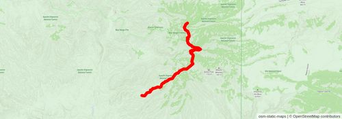
Starting at: Blue, Greenlee County, 85922
Ending at: Blue, Greenlee County, 85922
Distance: 12.5 km
Elevation gain: 1212 m
Duration: 04:30:50
stage 121
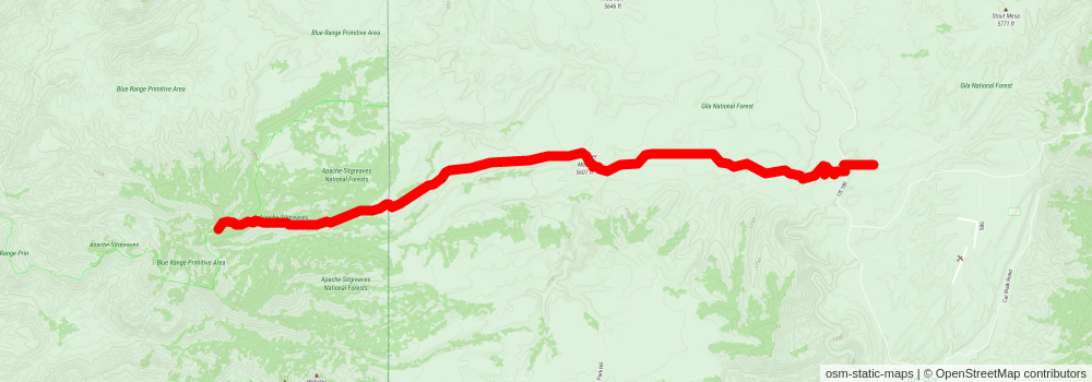
Starting at: Blue, Greenlee County, 85922
Ending at: Glenwood, Catron County, 88039
Distance: 21.7 km
Elevation gain: 103 m
Duration: 04:30:31
stage 122
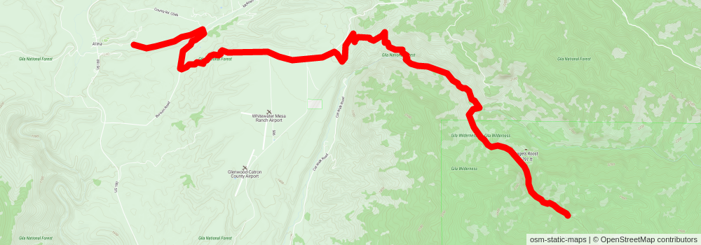
Starting at: Glenwood, Catron County, 88039
Ending at: Glenwood, Catron County, 88039
Distance: 15.7 km
Elevation gain: 819 m
Duration: 04:30:22
stage 123
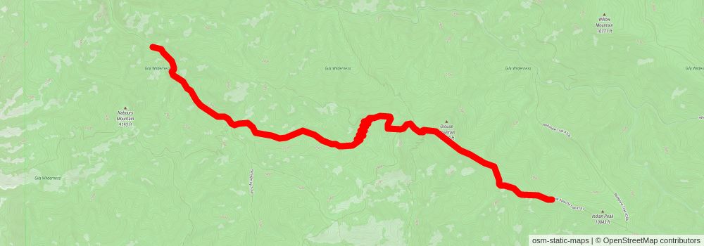
Starting at: Glenwood, Catron County, 88039
Ending at: Glenwood, Catron County, 88039
Distance: 12.8 km
Elevation gain: 1175 m
Duration: 04:30:27
stage 124
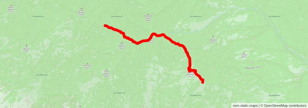
Starting at: Glenwood, Catron County, 88039
Ending at: Glenwood, Catron County, 88039
Distance: 15.7 km
Elevation gain: 819 m
Duration: 04:30:18
stage 125
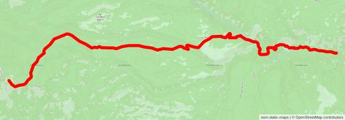
Starting at: Glenwood, Catron County, 88039
Ending at: Glenwood, Catron County, 88039
Distance: 19.3 km
Elevation gain: 385 m
Duration: 04:30:17
stage 126
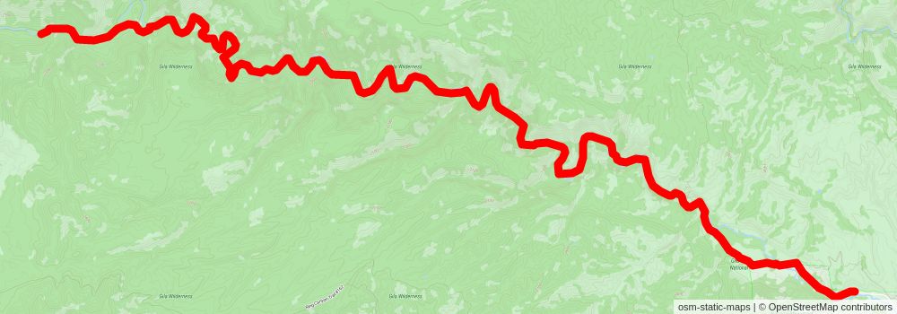
Starting at: Glenwood, Catron County, 88039
Distance: 22.4 km
Elevation gain: 258 m
Duration: 04:54:57
stage 127
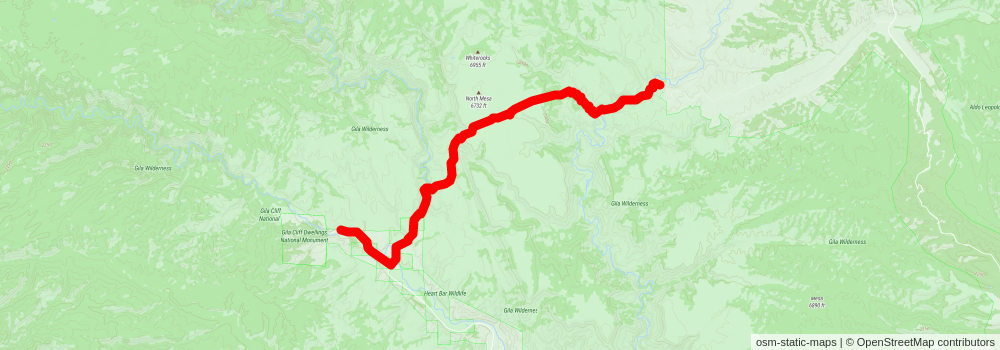
stage 128
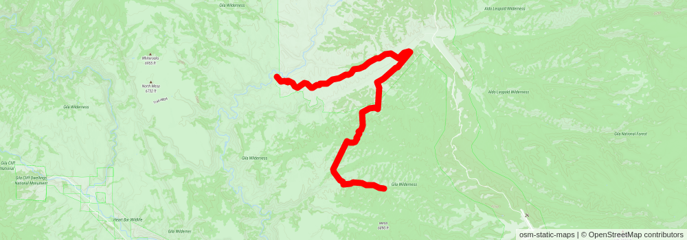
Starting at: Winston, Catron County, 87943
Ending at: Winston, Catron County, 87943
Distance: 18.1 km
Elevation gain: 541 m
Duration: 04:30:46
stage 129
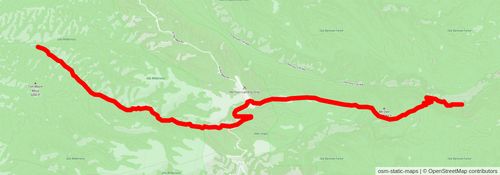
Starting at: Winston, Catron County, 87943
Ending at: Winston, Sierra County, 87943
Distance: 17.5 km
Elevation gain: 598 m
Duration: 04:30:07
stage 130
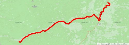
Starting at: Winston, Sierra County, 87943
Ending at: Winston, Sierra County, 87943
Distance: 15.7 km
Elevation gain: 815 m
Duration: 04:30:09
stage 131
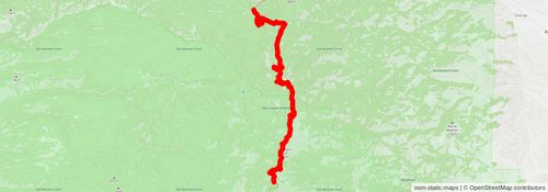
Starting at: Winston, Sierra County, 87943
Ending at: Winston, Sierra County, 87943
Distance: 17.3 km
Elevation gain: 621 m
Duration: 04:30:11
stage 132
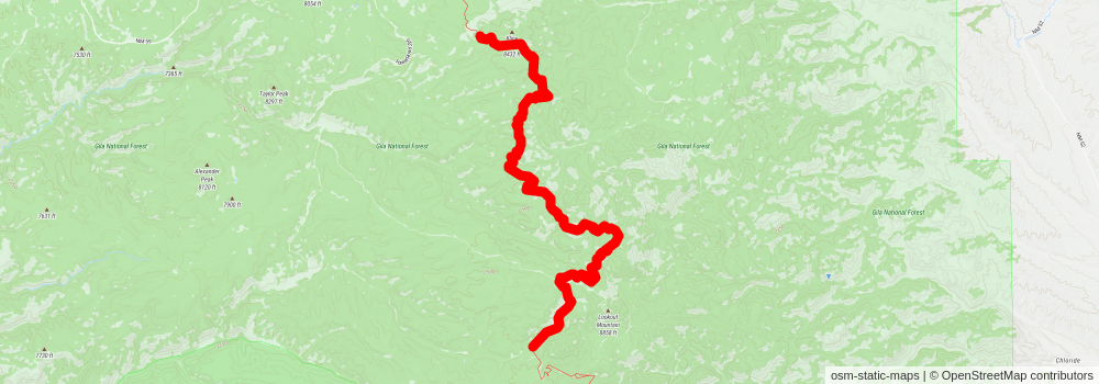
Starting at: Winston, Sierra County, 87943
Ending at: Winston, Sierra County, 87943
Distance: 17.7 km
Elevation gain: 573 m
Duration: 04:30:02
stage 133
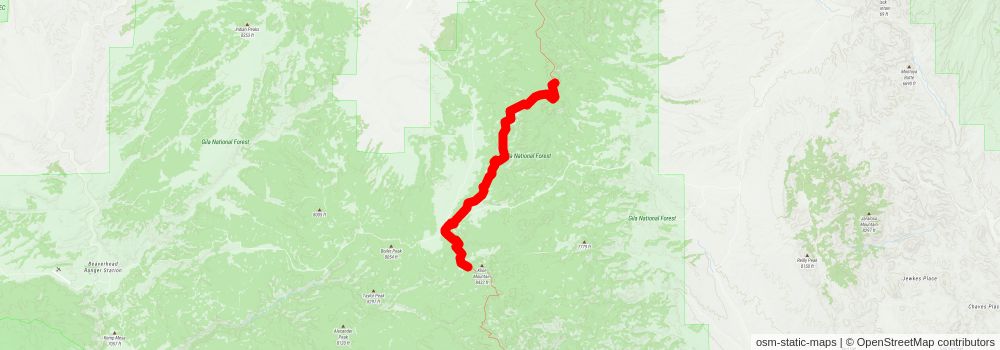
Starting at: Winston, Sierra County, 87943
Ending at: Magdalena, Catron County, 87825
Distance: 18.4 km
Elevation gain: 500 m
Duration: 04:30:22
stage 134
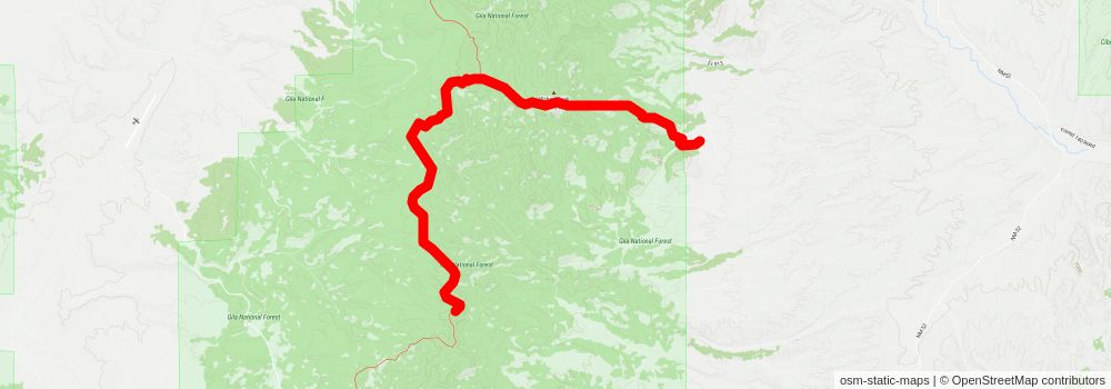
Starting at: Magdalena, Catron County, 87825
Ending at: Catron County, 87825
Distance: 17.5 km
Elevation gain: 610 m
Duration: 04:30:54
stage 135
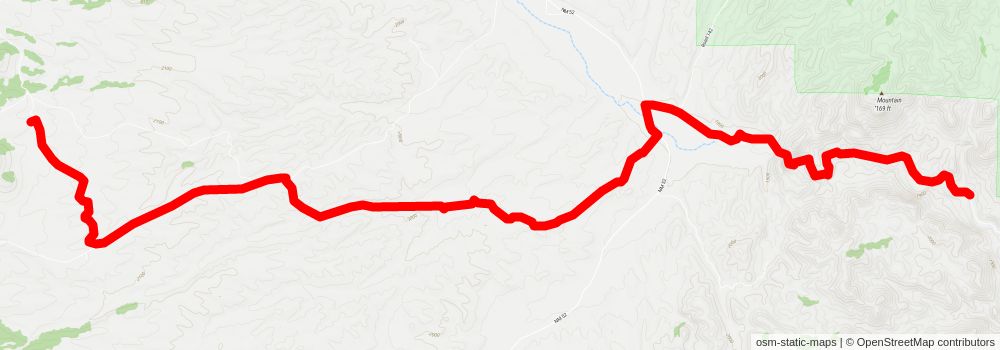
Starting at: Catron County, 87825
Ending at: Winston, Socorro County, 87943
Distance: 20.6 km
Elevation gain: 225 m
Duration: 04:30:13
stage 136
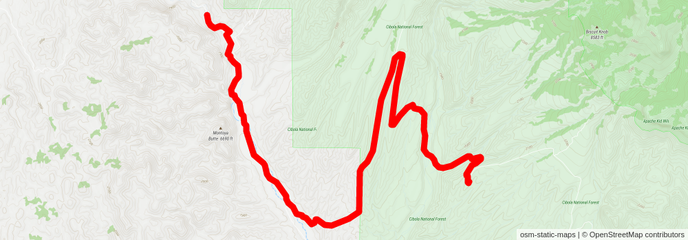
Starting at: Winston, Socorro County, 87943
Ending at: Winston, Socorro County, 87943
Distance: 17.7 km
Elevation gain: 582 m
Duration: 04:30:00
stage 137
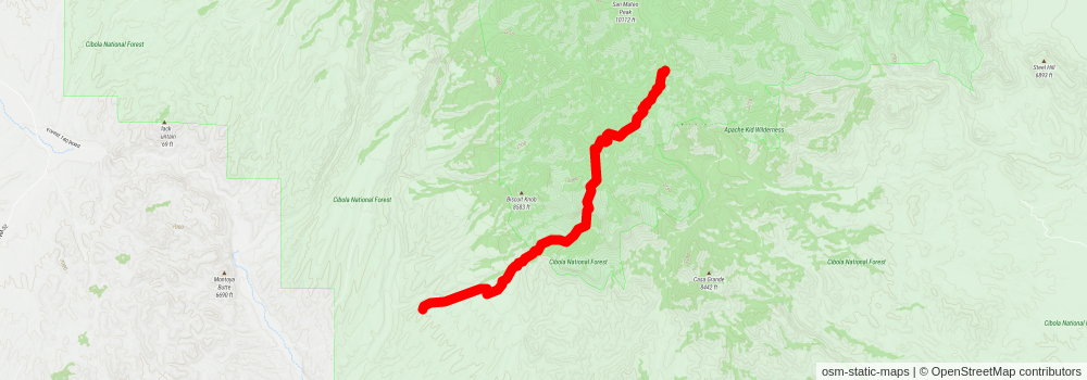
Starting at: Winston, Socorro County, 87943
Ending at: Magdalena, Socorro County, 87825
Distance: 12.8 km
Elevation gain: 1275 m
Duration: 04:41:11
stage 138
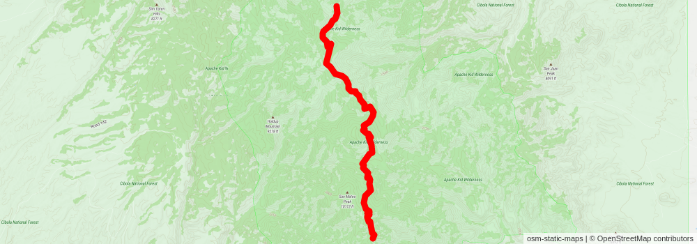
Starting at: Magdalena, Socorro County, 87825
Ending at: Magdalena, Socorro County, 87825
Distance: 14.5 km
Elevation gain: 874 m
Duration: 04:21:00
stage 139
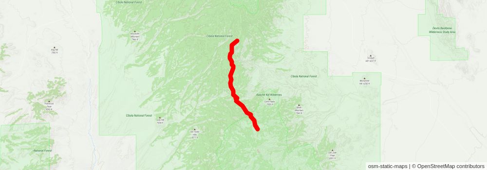
Starting at: Magdalena, Socorro County, 87825
Ending at: Socorro County, 87943
Distance: 15.1 km
Elevation gain: 896 m
Duration: 04:30:17
stage 140
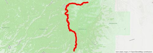
Starting at: Socorro County, 87943
Ending at: Magdalena, Socorro County, 87825
Distance: 18.6 km
Elevation gain: 473 m
Duration: 04:30:37
stage 141
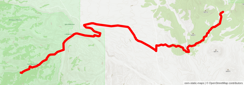
Starting at: Magdalena, Socorro County, 87825
Distance: 20.2 km
Elevation gain: 283 m
Duration: 04:30:45
stage 142
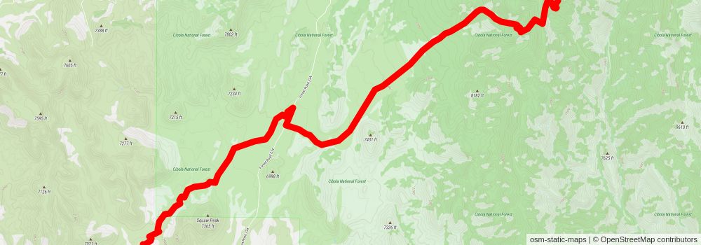
Starting at: Alameda Spring, Magdalena, Socorro County, 87825
Distance: 14.7 km
Elevation gain: 979 m
Duration: 04:33:59
stage 143
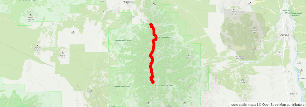
Starting at: Sawmill Canyon, West Fork, Socorro County, 87832
Ending at: Magdalena, Socorro County, 87825
Distance: 15.6 km
Elevation gain: 823 m
Duration: 04:29:44
stage 144
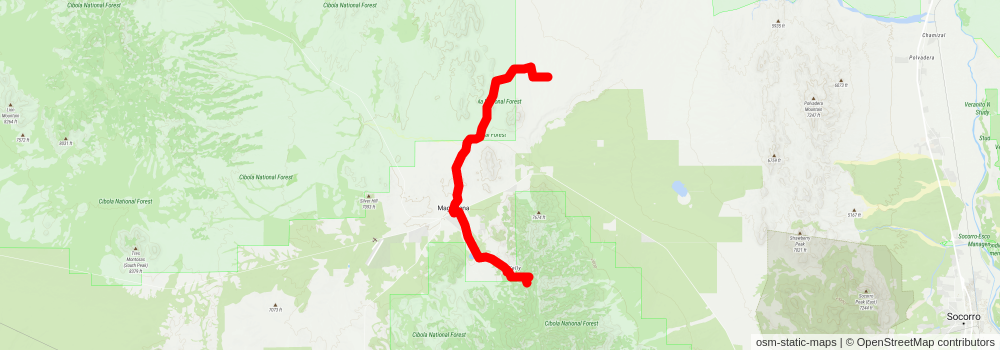
Starting at: Magdalena, Socorro County, 87825
Ending at: Socorro County, 87825
Distance: 22.6 km
Elevation gain: 83 m
Duration: 04:39:03
stage 145
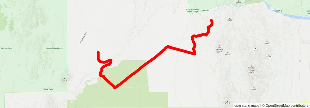
Starting at: Socorro County, 87825
Ending at: Socorro County, 87823
Distance: 21.3 km
Elevation gain: 139 m
Duration: 04:30:04
stage 146
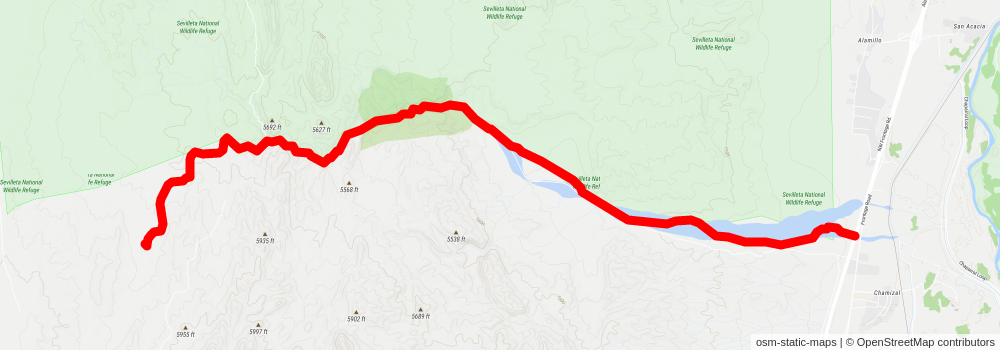
Starting at: Socorro County, 87823
Ending at: Chamizal, Socorro County, 87831
Distance: 14.3 km
Elevation gain: 70 m
Duration: 02:58:06
stage 147
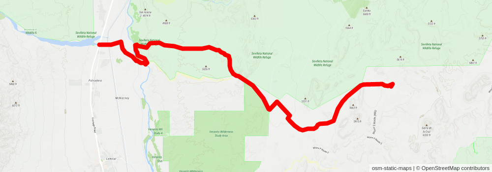
Starting at: Chamizal, Socorro County, 87831
Ending at: Socorro County
Distance: 27.5 km
Elevation gain: 325 m
Duration: 06:02:55
stage 148
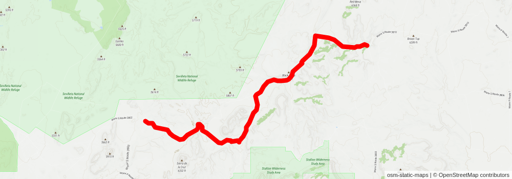
Starting at: Socorro County
Ending at: Mountainair, Socorro County, 87036
Distance: 19.9 km
Elevation gain: 315 m
Duration: 04:30:45
stage 149
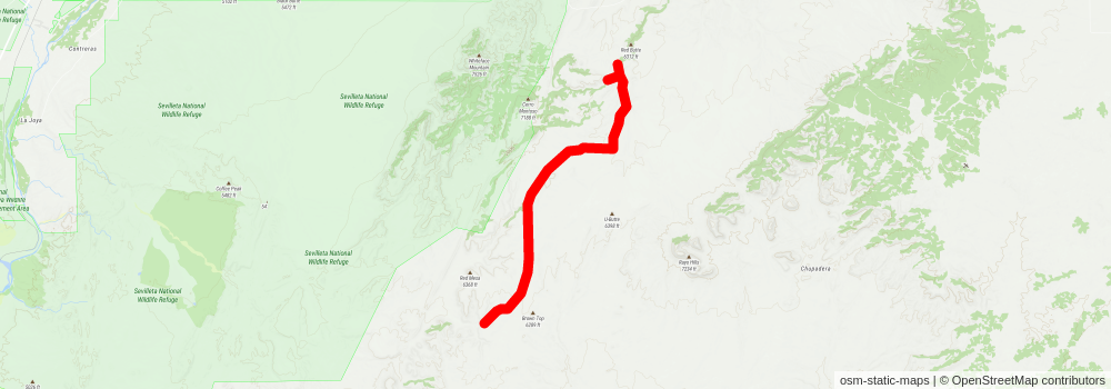
Starting at: Mountainair, Socorro County, 87036
Ending at: Mountainair, Socorro County, 87036
Distance: 20.9 km
Elevation gain: 185 m
Duration: 04:29:49