Download
Preview
Add to list
More
5.2 km
~1 hrs 44 min
419 m
Out and Back
“The Schuman - Shafer Creek Trail in Utah offers a moderately challenging hike through stunning landscapes and historical sites.”
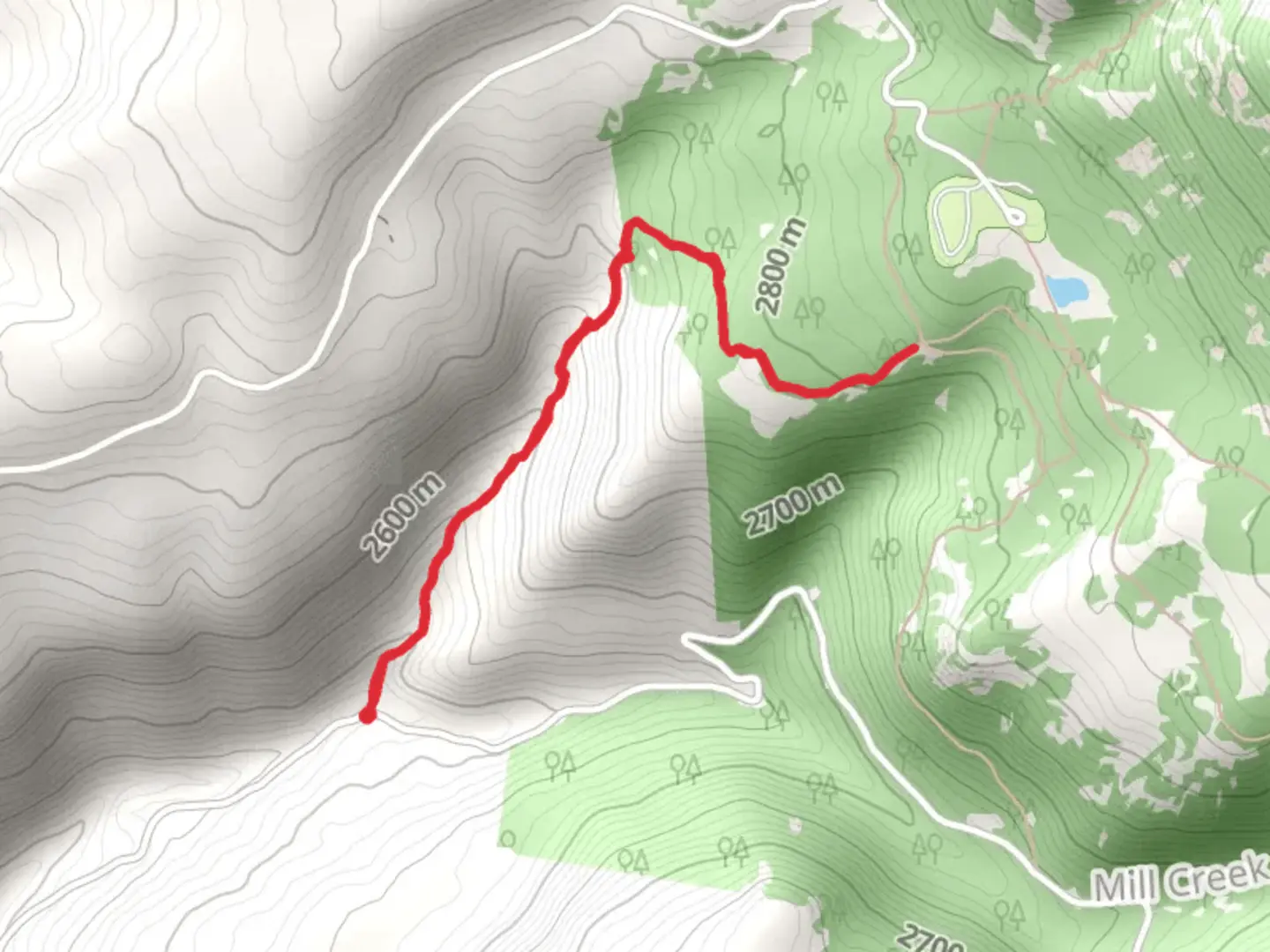
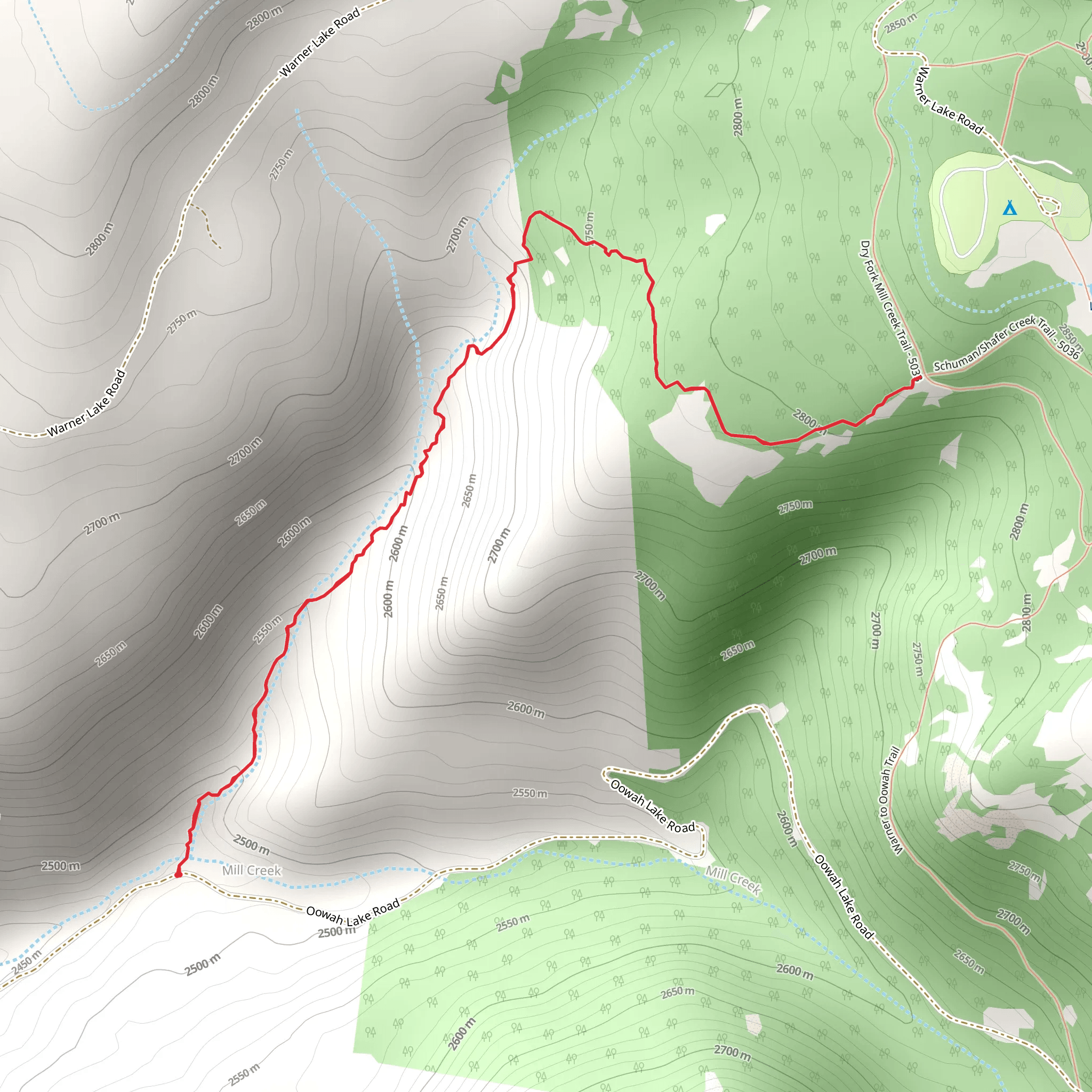
Starting near Grand County, Utah, the Schuman - Shafer Creek Trail offers a captivating journey through the rugged beauty of the region. This out-and-back trail stretches approximately 5 kilometers (about 3.1 miles) with an elevation gain of around 400 meters (1,312 feet), making it a moderately challenging hike suitable for those with some hiking experience.### Getting There To reach the trailhead, you can drive or use public transport. If driving, head towards the nearest known landmark, the town of Moab, Utah. From Moab, it's a short drive to the trailhead. For those relying on public transport, buses run regularly from Moab to Grand County, and from there, you can take a local taxi or rideshare service to the trailhead.### Trail Overview The trail begins with a gentle ascent, allowing hikers to warm up before the more strenuous sections. As you progress, the path becomes steeper, with switchbacks that offer stunning views of the surrounding landscape. The initial 1 kilometer (0.6 miles) gains about 100 meters (328 feet) in elevation, providing a good workout right from the start.### Landmarks and Nature Around the 2-kilometer (1.2-mile) mark, you'll encounter a picturesque viewpoint overlooking Shafer Creek. This is an excellent spot for a short break and some photography. The creek itself is a serene feature, often attracting local wildlife such as deer and various bird species. Keep an eye out for red-tailed hawks soaring above.### Historical Significance The region around the Schuman - Shafer Creek Trail is rich in history. The trail passes through areas once inhabited by Native American tribes, and you may notice petroglyphs etched into the rocks. These ancient carvings offer a glimpse into the lives of the people who once called this area home. Additionally, the trail is named after early settlers in the region, adding a layer of historical intrigue to your hike.### Navigation and Safety Given the moderate difficulty of the trail, it's advisable to use a reliable navigation tool like HiiKER to ensure you stay on track. The trail is well-marked, but having a digital map can provide extra peace of mind. Be prepared for varying weather conditions; the area can be quite hot in the summer and chilly in the early mornings and late afternoons.### Flora and Fauna The trail is lined with a variety of native plants, including sagebrush and juniper trees. In the spring, wildflowers such as Indian paintbrush and desert marigold add vibrant splashes of color to the landscape. Wildlife is abundant, so keep your eyes peeled for lizards, rabbits, and the occasional coyote.### Final Stretch The final kilometer (0.6 miles) of the trail involves a steep climb, gaining the remaining 200 meters (656 feet) in elevation. This section can be challenging, but the panoramic views from the top are well worth the effort. You'll have a clear view of the surrounding canyons and mesas, offering a perfect reward for your hard work.### Return Journey As an out-and-back trail, you'll retrace your steps on the way back. The descent offers a different perspective on the landscape, and the downhill sections provide a welcome respite after the climb. Make sure to take your time and enjoy the scenery on the return journey.This trail offers a blend of natural beauty, historical significance, and moderate physical challenge, making it a rewarding experience for any hiker.
What to expect?
Activity types
Comments and Reviews
User comments, reviews and discussions about the Schuman - Shafer Creek Trail, Utah.
4.38
average rating out of 5
8 rating(s)
