Download
Preview
Add to list
More
12.8 km
~3 hrs 38 min
654 m
Loop
“Discover the Moab Rim Trail's stunning vistas, ancient petroglyphs, and rugged beauty on this 13-kilometer adventure.”
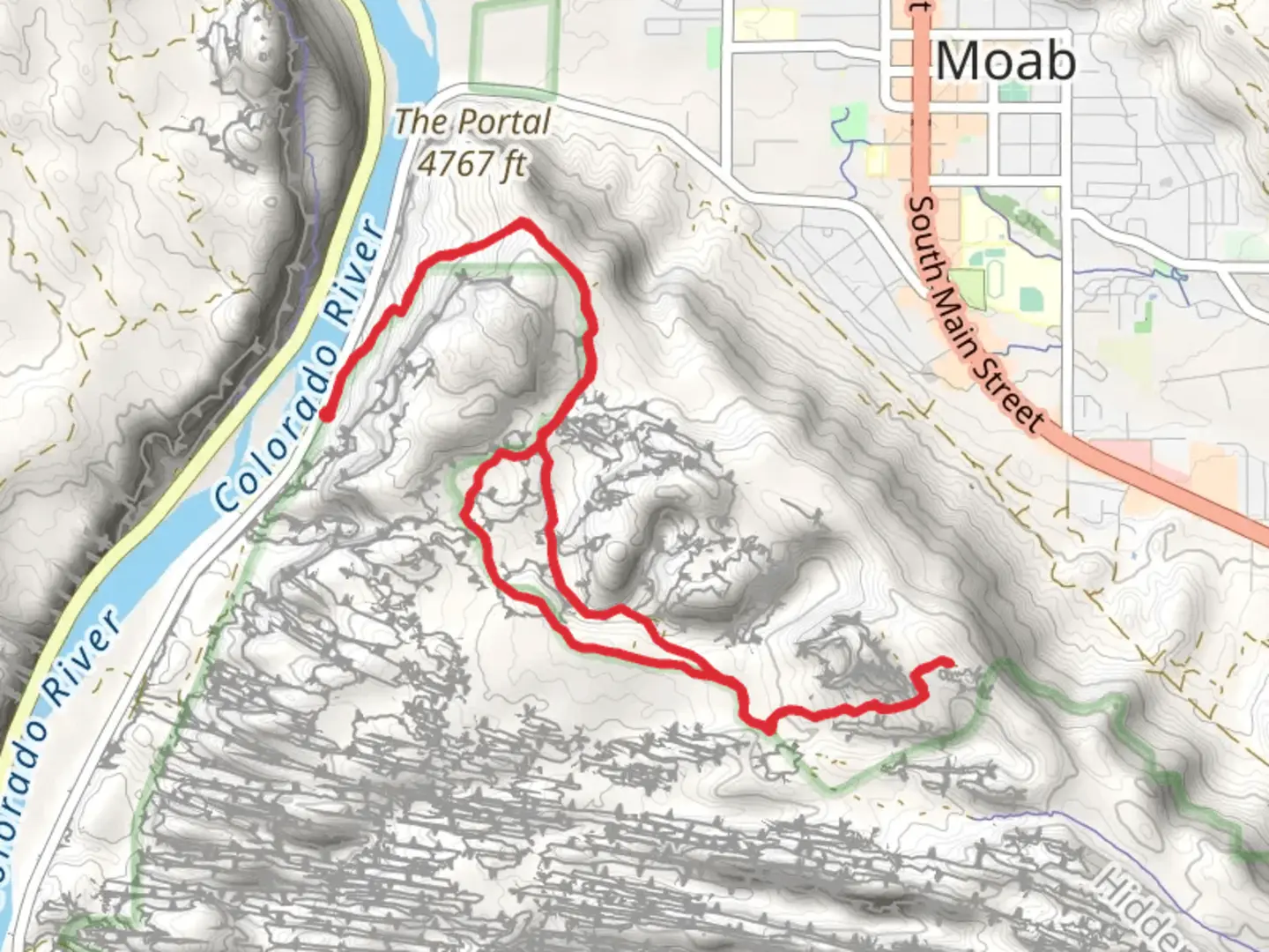
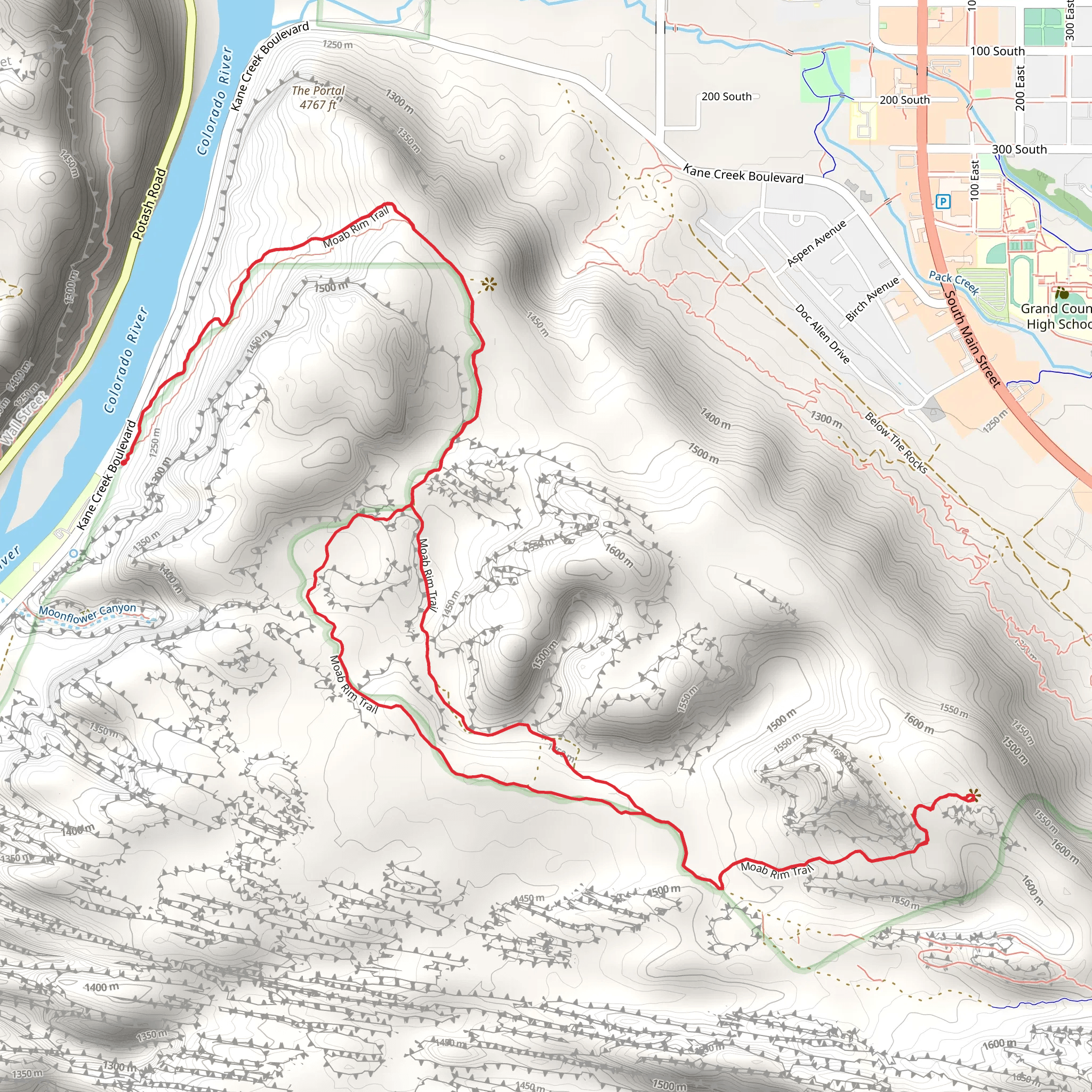
Starting near Grand County, Utah, the Moab Rim Trail is a captivating loop trail that spans approximately 13 kilometers (8 miles) with an elevation gain of around 600 meters (1,970 feet). This trail is rated as medium difficulty, making it suitable for hikers with some experience and a good level of fitness.### Getting There To reach the trailhead, you can drive or use public transport. If driving, head towards the Kane Creek Boulevard, just southwest of Moab. The trailhead is located near the intersection of Kane Creek Boulevard and the Moab Rim Road. For those using public transport, the nearest significant landmark is the Moab Information Center, from where you can catch a local shuttle or taxi to the trailhead.### Trail Overview The Moab Rim Trail offers a diverse hiking experience, featuring rugged terrain, stunning vistas, and significant elevation changes. The trail begins with a steep ascent, gaining approximately 300 meters (985 feet) in the first 2 kilometers (1.2 miles). This initial climb can be challenging, so take your time and pace yourself.### Key Landmarks and Points of Interest As you ascend, you'll be treated to panoramic views of the Moab Valley and the Colorado River. At around the 3-kilometer (1.8-mile) mark, you'll encounter the first major viewpoint, offering breathtaking vistas of the surrounding red rock formations and the La Sal Mountains in the distance.Continuing along the trail, you'll come across several notable landmarks:- Hidden Valley: Approximately 5 kilometers (3.1 miles) into the hike, you'll reach Hidden Valley, a serene and secluded area that provides a stark contrast to the rugged terrain you've traversed. This is a great spot to take a break and enjoy the tranquility.- Petroglyphs: Around the 7-kilometer (4.3-mile) mark, keep an eye out for ancient petroglyphs etched into the rock faces. These petroglyphs are remnants of the Native American tribes that once inhabited the region and offer a glimpse into the area's rich cultural history.- The Rim: At approximately 9 kilometers (5.6 miles), you'll reach the rim of the trail, where you'll be rewarded with sweeping views of the Moab Valley below. This is a perfect spot for photography and to take in the grandeur of the landscape.### Flora and Fauna The Moab Rim Trail is home to a variety of plant and animal species. Keep an eye out for desert wildflowers, juniper trees, and sagebrush. Wildlife sightings may include mule deer, lizards, and various bird species such as ravens and hawks.### Navigation and Safety Given the rugged terrain and elevation changes, it's essential to be well-prepared. Use the HiiKER app for accurate navigation and trail information. Ensure you have plenty of water, sun protection, and sturdy hiking boots. The trail can be exposed, so check the weather forecast and avoid hiking during extreme heat.### Historical Significance The Moab Rim Trail is steeped in history, with evidence of ancient Native American habitation visible through the petroglyphs and other archaeological sites. The region was also a significant area for early settlers and miners, adding layers of historical intrigue to your hike.By following these guidelines and being well-prepared, you'll be able to fully enjoy the natural beauty and historical richness of the Moab Rim Trail.
What to expect?
Activity types
Comments and Reviews
User comments, reviews and discussions about the Moab Rim Trail, Utah.
4.5
average rating out of 5
22 rating(s)
