Download
Preview
Add to list
More
12.4 km
~4 hrs 21 min
1119 m
Out and Back
“Trek through Grand County's rugged splendor and historical trails for breathtaking views and diverse wildlife encounters.”
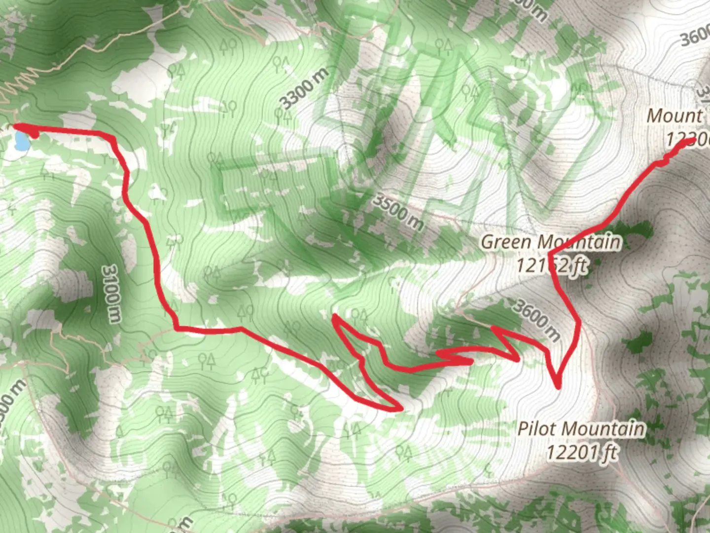
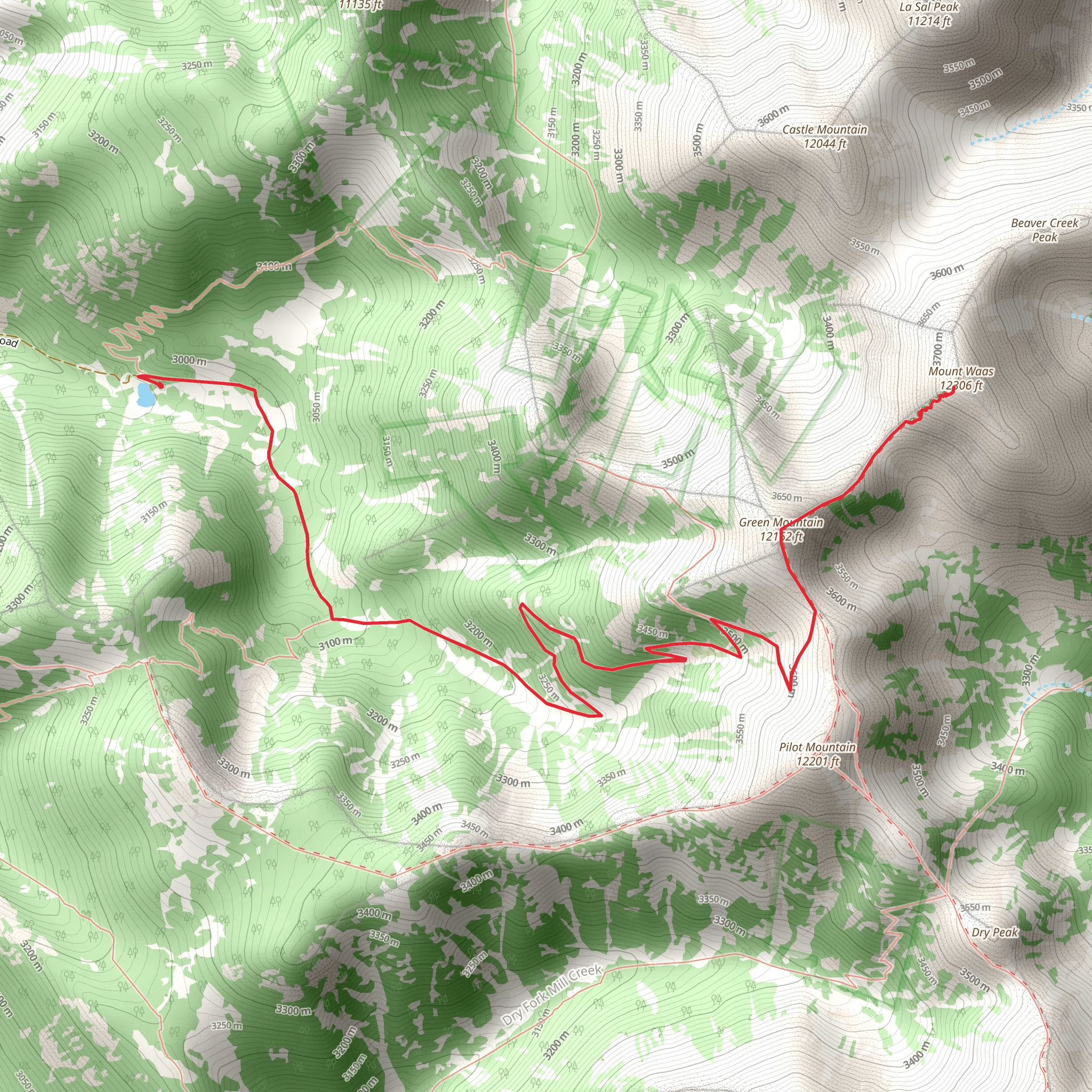
Embarking on the Green Mountain and Mount Waas trail, hikers will find themselves exploring the rugged beauty of Grand County, Utah. This approximately 12 km (7.5 miles) out-and-back journey begins near the La Sal Mountains, offering an elevation gain of roughly 1100 meters (3600 feet), which presents a medium difficulty level for those with some hiking experience.
Getting to the Trailhead
To reach the trailhead, if you're driving, navigate towards the La Sal Mountain Loop Road, which is accessible from Moab via a scenic drive. Public transportation options are limited in this area, so a personal vehicle or a rented car is recommended. Once on the La Sal Mountain Loop Road, follow it to the Geyser Pass Road turnoff, which leads to the trailhead. Parking is available near the Geyser Pass Trailhead, which serves as the starting point for your hike.
The Hike Itself
As you set off from the trailhead, the path will lead you through a mix of dense forest and open meadows, with the occasional aspen grove providing a serene backdrop. The initial section of the trail is a steady climb, and you'll want to pace yourself as you acclimate to the elevation.
Landmarks and Scenery
After the first couple of kilometers, you'll be rewarded with stunning views of the surrounding peaks and valleys. Keep an eye out for Oowah Lake, a picturesque alpine lake that's a perfect spot for a brief rest and perhaps a photo opportunity. As you continue, the trail becomes steeper and rockier, so sturdy footwear is essential.
Flora and Fauna
The area is rich in biodiversity, with chances to spot wildlife such as mule deer, elk, and various bird species, including raptors soaring above. The trail is also home to a variety of plant life, from wildflowers to conifers, which can provide a colorful display especially in the spring and summer months.
Historical Significance
The La Sal Mountains hold historical significance for the Ute tribes that once roamed these lands, and the region was later explored by Spanish missionaries and American settlers. The mining boom in the late 19th and early 20th centuries also left its mark on the landscape, with abandoned mines and ghost towns dotting the area.
Navigation
As you approach the summit of Green Mountain, the trail may become less defined. Using a navigation tool like HiiKER can help you stay on track and ensure you're following the correct path to the peak. The final push to the summit of Mount Waas is challenging, with some loose scree and steep sections, but the panoramic views from the top are a worthy reward for your efforts.
Descent and Return
The descent follows the same route back to the trailhead. It's important to be cautious on the way down, as the loose terrain can be tricky to navigate. Remember to leave no trace of your visit to preserve the natural beauty of the area for future hikers.
Preparation and Safety
Before setting out, ensure you have enough water, as there are no reliable water sources along the trail. Weather conditions can change rapidly in the mountains, so pack layers and be prepared for the possibility of afternoon thunderstorms, especially in the summer. It's also wise to inform someone of your hiking plans and expected return time.
By following these guidelines and being prepared, hikers can fully enjoy the natural splendor and historical richness of the Green Mountain and Mount Waas trail.
Activity types
Comments and Reviews
User comments, reviews and discussions about the Green Mountain and Mount Waas, Utah.
4.5
average rating out of 5
12 rating(s)
