Download
Preview
Add to list
More
21.0 km
~1 day 0 hrs
657 m
Point-to-Point
“Embark on the Gemini Bridges Road trail for panoramic views, rich history, and diverse desert wildlife.”
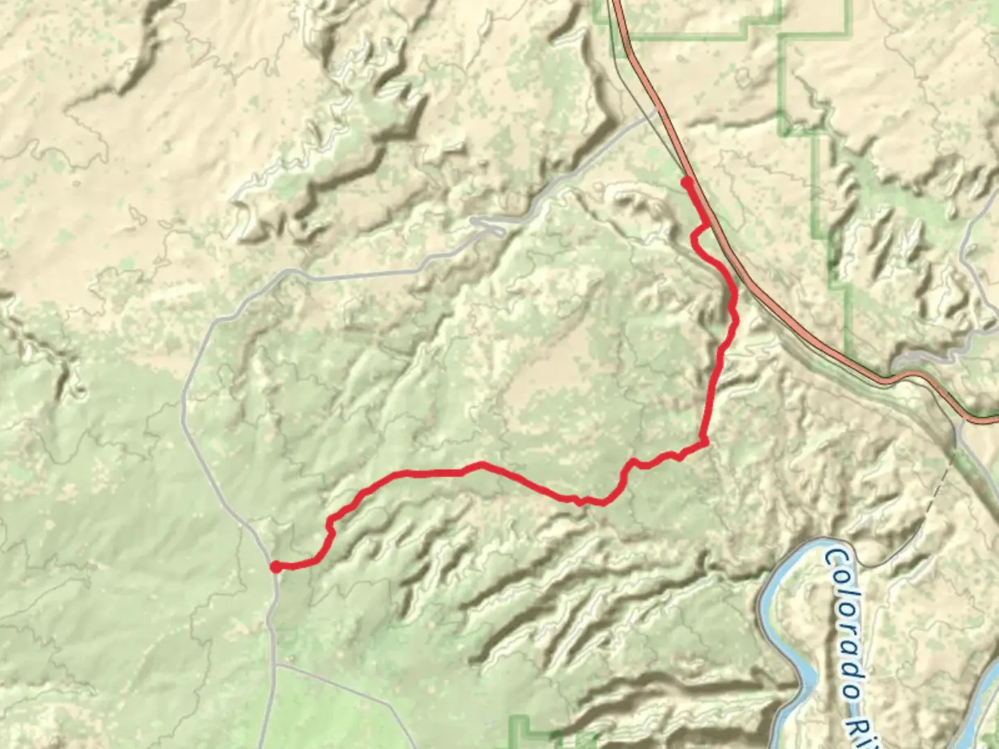
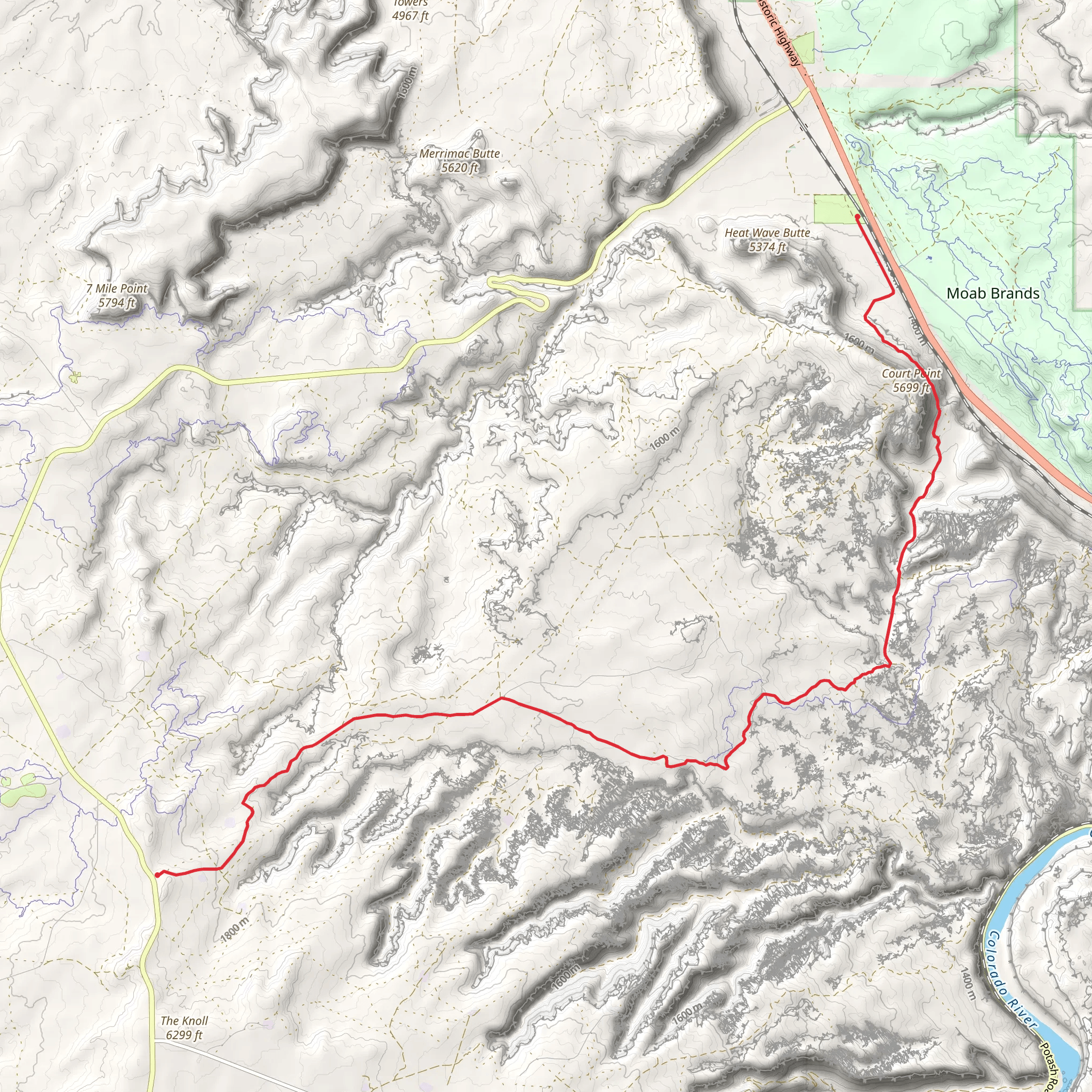
Starting near Grand County, Utah, the Gemini Bridges Road trail spans approximately 21 kilometers (13 miles) with an elevation gain of around 600 meters (1,970 feet). This point-to-point trail is rated as medium difficulty, making it suitable for moderately experienced hikers.
Getting There To reach the trailhead, you can drive or use public transportation. If driving, head towards the town of Moab, Utah. From Moab, take U.S. Highway 191 north for about 7 miles (11 kilometers) until you reach the Gemini Bridges Road turnoff. Public transport options are limited, so renting a car or arranging a shuttle service from Moab is recommended.
Trail Overview The trail begins with a gradual ascent, offering panoramic views of the surrounding red rock formations. As you progress, you'll encounter a mix of sandy paths and rocky terrain. The first significant landmark is the Gemini Bridges, a pair of natural rock bridges that are approximately 4.8 kilometers (3 miles) from the trailhead. These bridges are a must-see, offering stunning views and photo opportunities.
Navigation and Terrain Using HiiKER for navigation is highly recommended, as the trail can be tricky to follow in some sections. The path is well-marked but can be confusing due to intersecting off-road vehicle tracks. The terrain varies from sandy washes to rocky ledges, so sturdy hiking boots are essential.
Flora and Fauna The trail is rich in desert flora, including juniper trees, sagebrush, and various cacti species. Wildlife sightings are common; keep an eye out for desert bighorn sheep, lizards, and a variety of bird species such as ravens and hawks.
Historical Significance The area around Gemini Bridges has a rich history, with evidence of Native American habitation dating back thousands of years. Petroglyphs and ancient artifacts have been found in the region, adding a layer of historical intrigue to your hike. The trail also passes through areas that were once part of the Old Spanish Trail, a historic trade route used in the 19th century.
Key Points of Interest - **Gemini Bridges**: Located about 4.8 kilometers (3 miles) from the start, these natural rock bridges are a highlight of the trail. - **Bull Canyon Overlook**: Approximately 8 kilometers (5 miles) in, this viewpoint offers expansive views of Bull Canyon and the surrounding landscape. - **Arth's Pasture**: Around 12 kilometers (7.5 miles) from the trailhead, this area provides a lush contrast to the arid surroundings, with more vegetation and a small stream.
Final Stretch The last section of the trail descends gradually, leading you through a series of switchbacks and offering final glimpses of the stunning desert landscape. The trail ends near the intersection with U.S. Highway 313, where you can arrange for a pickup or shuttle back to Moab.
Preparation Tips - **Water**: Carry at least 3 liters (0.8 gallons) of water per person, as there are no reliable water sources along the trail. - **Sun Protection**: The trail offers little shade, so bring a hat, sunscreen, and sunglasses. - **Navigation**: Use HiiKER to stay on track and avoid getting lost. - **Footwear**: Wear sturdy hiking boots to handle the varied terrain.
By following these guidelines and being well-prepared, you'll be able to fully enjoy the unique beauty and historical richness of the Gemini Bridges Road trail.
What to expect?
Activity types
Comments and Reviews
User comments, reviews and discussions about the Gemini Bridges Road, Utah.
4.33
average rating out of 5
12 rating(s)
