Download
Preview
Add to list
More
8.0 km
~2 hrs 0 min
245 m
Loop
“Explore Cross Canyon and Wahoo Loop's diverse landscapes, moderate challenges, and rich history in Grand County, Utah.”
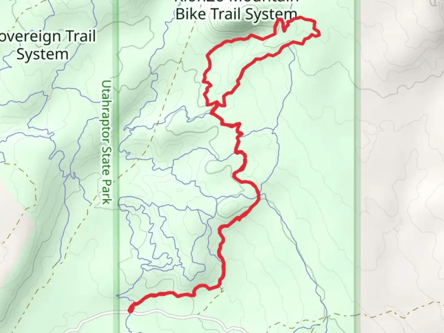
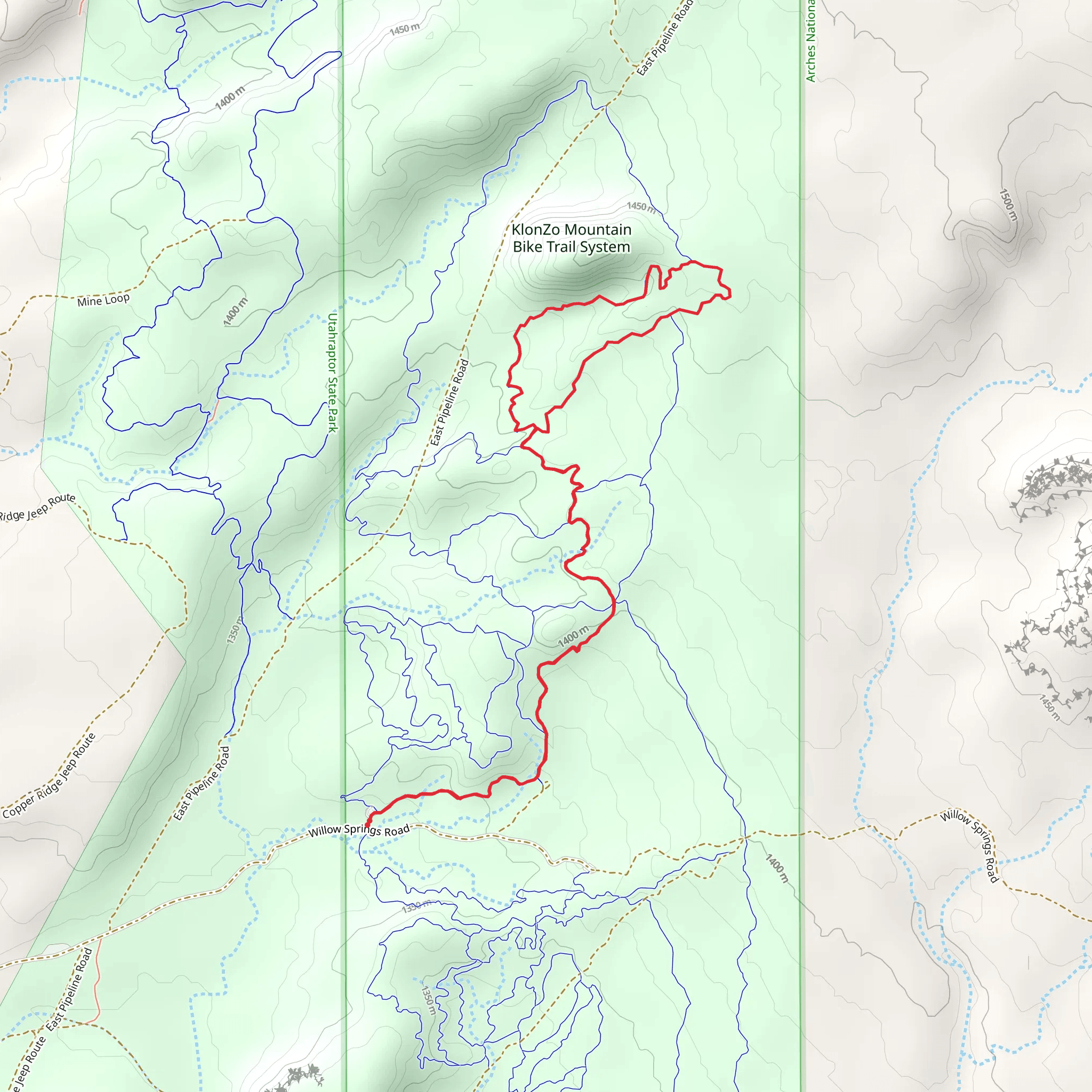
Starting near Grand County, Utah, the Cross Canyon and Wahoo Loop is an 8 km (approximately 5 miles) loop trail with an elevation gain of around 200 meters (656 feet). This trail is rated as medium difficulty, making it suitable for moderately experienced hikers.### Getting There To reach the trailhead, you can drive or use public transport. If driving, head towards the nearest known landmark, the Grand County Public Library in Moab, Utah. From there, it's a short drive to the trailhead. For those using public transport, the Moab Express shuttle service can drop you off near the library, from where you can arrange a taxi or rideshare to the trailhead.### Trail Overview The trail begins with a gentle ascent, offering panoramic views of the surrounding canyons and mesas. As you progress, you'll encounter a mix of sandy paths and rocky terrain. The initial 2 km (1.2 miles) of the trail will take you through a series of switchbacks, gaining approximately 100 meters (328 feet) in elevation. This section provides excellent vantage points for photography, especially during sunrise or sunset.### Significant Landmarks Around the 3 km (1.9 miles) mark, you'll come across a notable rock formation known as "The Sentinel." This towering structure is a popular spot for a short break and some photos. Continuing on, the trail descends into a lush canyon, where you'll find a small, seasonal stream. This area is rich in flora, including juniper trees and various desert wildflowers, depending on the season.### Wildlife and Nature Keep an eye out for local wildlife such as mule deer, jackrabbits, and various bird species like the red-tailed hawk. The trail also passes through areas where you might spot ancient petroglyphs, offering a glimpse into the region's historical significance. These rock carvings are believed to be created by the Ancestral Puebloans, adding a layer of cultural richness to your hike.### Navigation and Safety Given the varied terrain, it's advisable to use a reliable navigation tool like HiiKER to stay on track. The trail is well-marked, but having a digital map can be invaluable, especially in the more remote sections. Make sure to carry enough water, as the desert environment can be quite arid, and there are limited water sources along the trail.### Final Stretch The last 2 km (1.2 miles) of the loop bring you back to the trailhead, descending gradually and offering a final opportunity to take in the expansive views of the canyonlands. This section is relatively easy, allowing you to cool down and reflect on the diverse landscapes you've traversed.This trail offers a balanced mix of natural beauty, moderate physical challenge, and historical intrigue, making it a rewarding experience for those who venture out to explore it.
What to expect?
Activity types
Comments and Reviews
User comments, reviews and discussions about the Cross Canyon and Wahoo Loop, Utah.
4.69
average rating out of 5
13 rating(s)
