Download
Preview
Add to list
More
8.0 km
~1 hrs 57 min
208 m
Loop
“Embark on a rewarding 8 km loop near Moab, Utah, featuring stunning landscapes, wildlife, and historical petroglyphs.”
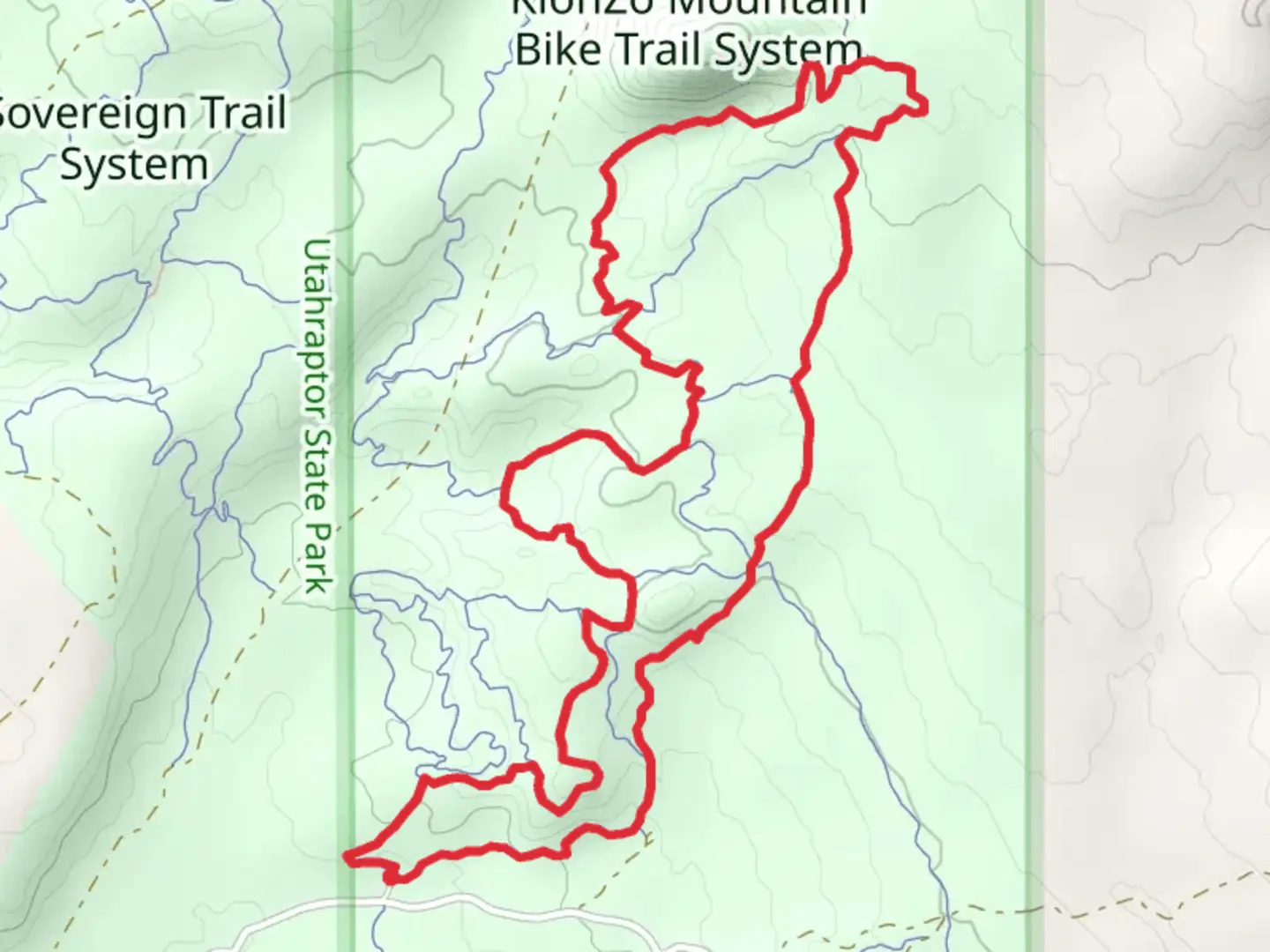
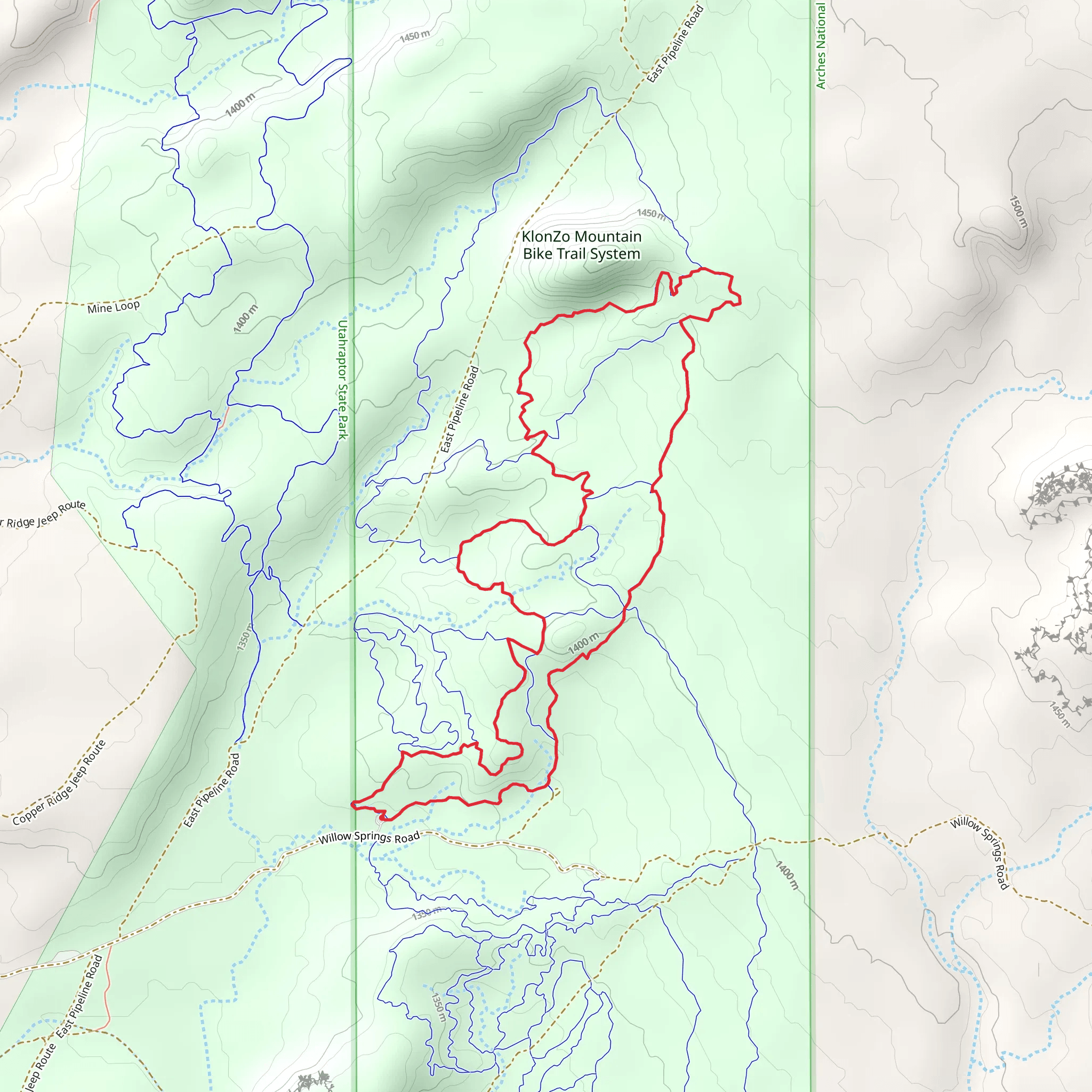
Starting your adventure near Grand County, Utah, the Borderline, Wahoo, and Secret Passage Loop is an 8 km (approximately 5 miles) loop trail with an elevation gain of around 200 meters (656 feet). This medium-difficulty trail offers a mix of stunning landscapes, historical significance, and diverse wildlife, making it a rewarding experience for hikers.### Getting There To reach the trailhead, you can drive or use public transportation. If driving, head towards the nearest known landmark, which is the town of Moab, Utah. From Moab, take US-191 North for about 8 miles until you reach the turnoff for the trailhead. Public transportation options are limited, but you can take a shuttle service from Moab to the trailhead area.### Trail Navigation For navigation, it’s highly recommended to use the HiiKER app, which provides detailed maps and real-time updates. The trail is well-marked, but having a reliable navigation tool will ensure you stay on track.### Trail Highlights
Borderline Section
The first section of the loop, known as Borderline, starts with a gentle ascent through a mix of desert scrub and juniper trees. After about 1.5 km (0.9 miles), you’ll reach a plateau offering panoramic views of the surrounding canyons and mesas. This is a great spot to take a break and soak in the scenery.#### Wahoo Section Continuing onto the Wahoo section, the trail becomes more rugged and challenging. This part of the trail is known for its unique rock formations and narrow passages. After another 2 km (1.2 miles), you’ll encounter a series of switchbacks that lead you up to a higher elevation. The elevation gain here is about 100 meters (328 feet), so take your time and enjoy the views.#### Secret Passage Section The final section, Secret Passage, is perhaps the most intriguing. This part of the trail winds through a narrow canyon with towering red rock walls. The canyon is home to various wildlife, including lizards, birds, and occasionally, desert bighorn sheep. After about 2.5 km (1.5 miles), the trail opens up into a wide valley, signaling the final stretch back to the trailhead.### Historical Significance The region around Grand County has a rich history, with evidence of Native American habitation dating back thousands of years. Along the trail, you may come across ancient petroglyphs etched into the rock walls. These petroglyphs are believed to be the work of the Ancestral Puebloans, who inhabited the area long before European settlers arrived.### Wildlife and Flora The trail is home to a variety of desert flora and fauna. Keep an eye out for prickly pear cacti, yucca plants, and the occasional blooming wildflower. Wildlife is abundant, with common sightings of jackrabbits, hawks, and various reptiles. Always remember to respect the wildlife and maintain a safe distance.### Preparation Tips Given the trail’s medium difficulty, it’s essential to come prepared. Wear sturdy hiking boots, bring plenty of water, and pack some snacks. The trail can be quite exposed, so sun protection is crucial. A hat, sunglasses, and sunscreen are recommended. The best times to hike are early morning or late afternoon to avoid the midday heat.By following these guidelines and using the HiiKER app for navigation, you’ll be well-prepared to enjoy the Borderline, Wahoo, and Secret Passage Loop.
What to expect?
Activity types
Comments and Reviews
User comments, reviews and discussions about the Borderline, Wahoo and Secret Passage Loop, Utah.
4.7
average rating out of 5
10 rating(s)
