Download
Preview
Add to list
More
22.9 km
~2 days
453 m
Multi-Day
“Embark on a scenic, historic hike through Capitol Reef's canyons on the Upper Muley Twist Trail.”
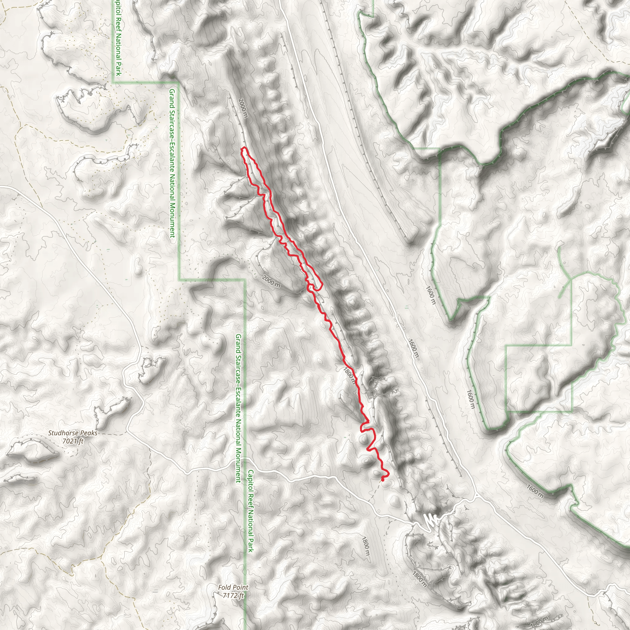
The Upper Muley Twist Trail is a captivating journey through the red rock canyons of Capitol Reef National Park, offering hikers a chance to explore the Waterpocket Fold, a geologic monocline extending nearly 100 miles. With a distance of approximately 23 kilometers (around 14 miles) and an elevation gain of roughly 400 meters (about 1,300 feet), this loop trail presents a medium difficulty level that requires a good level of fitness and preparation.
Getting to the Trailhead To reach the trailhead, you'll need to navigate to Capitol Reef National Park, located near Garfield County, Utah. If you're driving, take Highway 24 to the Capitol Reef Visitor Center. From there, follow the Scenic Drive south until you reach the dirt road that leads to the Burr Trail. The trailhead is located at the end of the Burr Trail Road, which may require a high-clearance vehicle, especially after heavy rains. Public transportation options are limited in this remote area, so a personal vehicle is recommended.
Navigating the Trail Once on the trail, hikers can use the HiiKER app to navigate the loop, ensuring they stay on the correct path. The hike can be done in either direction, but many choose to hike clockwise to tackle the steeper sections earlier in the day.
Canyon Splendor and Historic Significance As you begin your hike, the trail meanders through juniper and piñon pine forests before ascending into the canyon. The first few miles are relatively flat, allowing you to warm up as you approach the canyon's mouth. The trail then climbs steadily, offering stunning views of the Strike Valley below.
The Upper Muley Twist Canyon is historically significant as it was once used by early settlers and Native Americans. The name "Muley Twist" refers to the "twisty" nature of the canyon and the term "muley," which was used to describe cattle with no horns that were easier to maneuver through the tight turns of the canyon.
Landmarks and Natural Features Approximately halfway through the hike, you'll encounter the impressive Muley Arch, a natural sandstone arch that frames the blue sky beautifully. This is a great spot for a rest and some photos. Further along, the trail reaches the rim of the Waterpocket Fold, where you can gaze upon the vast expanse of colorful cliffs, domes, and canyons.
The trail also features several narrow slots in the canyon walls, which you can explore if you're comfortable with tight spaces. These slots offer a unique perspective on the geological forces that have shaped the landscape over millions of years.
Wildlife and Flora Keep an eye out for the diverse wildlife that inhabits the area, including mule deer, desert bighorn sheep, and various bird species. The flora along the trail is typical of the high desert, with cacti, yucca, and hardy shrubs dotting the landscape.
Preparation and Safety Due to the remote nature of the trail and the lack of water sources, it's crucial to carry plenty of water—at least one gallon per person per day. Sun protection, such as a hat, sunscreen, and long sleeves, is also essential. Be sure to check the weather forecast before setting out, as flash floods can be a danger in canyon country.
Conclusion The Upper Muley Twist Trail is a remarkable hike that offers a blend of scenic beauty, geological wonders, and historical intrigue. With proper preparation and a sense of adventure, hikers will find this trail to be a memorable experience in the heart of Utah's red rock country.
What to expect?
Activity types
Comments and Reviews
User comments, reviews and discussions about the Upper Muley Twist Trail, Utah.
4.67
average rating out of 5
3 rating(s)

