1.3 km
~23 min
80 m
“The Tunnel Trail near Escalante offers a rugged, scenic hike featuring a natural tunnel and ancient rock formations.”
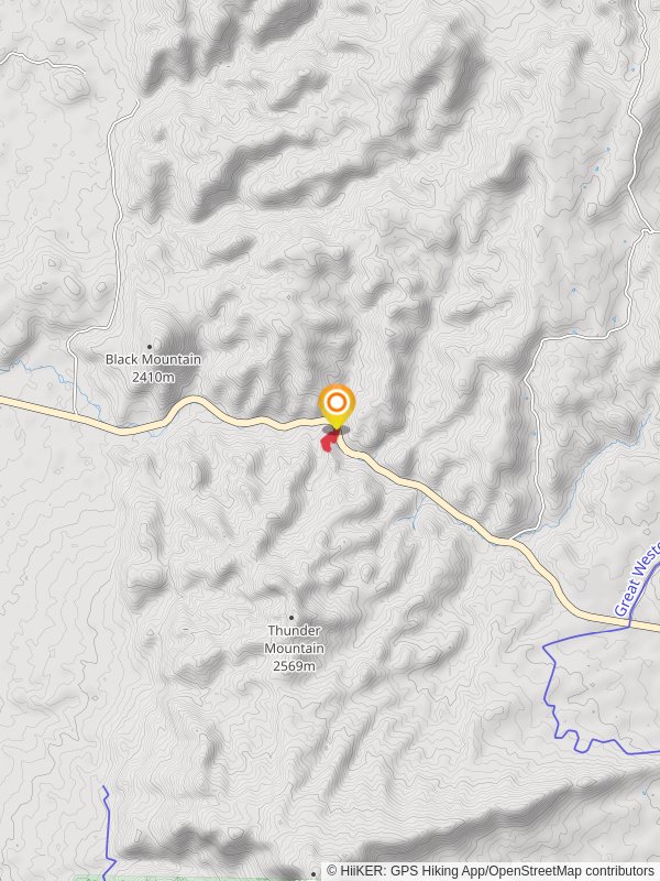
Starting near Garfield County, Utah, this 1 km (0.62 miles) out-and-back trail offers a unique hiking experience with no significant elevation gain, making it accessible for a wide range of hikers. The trailhead is conveniently located near the town of Escalante, which can be reached by car via Highway 12. For those relying on public transport, the nearest major city with bus services is Salt Lake City, from where you can rent a car or arrange for a shuttle service to Escalante.
### Trail Overview
The Tunnel Trail is estimated to be of medium difficulty, primarily due to its rugged terrain and the need for careful navigation through narrow passages. The trail is well-marked, but it's always a good idea to have a reliable navigation tool like HiiKER to ensure you stay on track.
### Key Landmarks and Features
- The Tunnel: The trail's namesake feature is a natural tunnel formed by erosion. Approximately 0.5 km (0.31 miles) into the hike, you'll encounter this fascinating geological formation. The tunnel is about 50 meters (164 feet) long and offers a cool, shaded respite from the sun. Be sure to bring a flashlight or headlamp to navigate through it safely. - Rock Formations: As you continue, you'll notice various unique rock formations that are characteristic of the Escalante region. These formations are composed of Navajo Sandstone, which dates back to the Jurassic period, around 180 million years ago. The intricate patterns and colors of the rocks make for excellent photo opportunities.
- Flora and Fauna: The trail is home to a variety of plant and animal species. Keep an eye out for desert wildflowers such as Indian paintbrush and prickly pear cactus. Wildlife sightings may include lizards, jackrabbits, and occasionally, desert bighorn sheep. Birdwatchers will also enjoy spotting species like the peregrine falcon and the canyon wren.
### Historical Significance
The Escalante region has a rich history, with evidence of Native American habitation dating back thousands of years. Petroglyphs and ancient artifacts have been found in the area, indicating that it was once a thriving community. The Tunnel Trail itself may have been used by indigenous peoples as a natural passageway through the rugged landscape.
### Getting There
To reach the trailhead, drive along Highway 12 until you reach Escalante. From there, follow local signs to the trailhead, which is located just a short distance from the town center. Parking is available at the trailhead, but it can fill up quickly during peak seasons, so plan to arrive early.
For those using public transport, the nearest major hub is Salt Lake City. From there, you can take a bus to a closer town like Panguitch and then arrange for a shuttle or rental car to Escalante. Be sure to check the latest schedules and availability, as services can vary seasonally.
### Preparation Tips
- Water and Snacks: Despite the short distance, the desert environment can be harsh. Bring plenty of water and some high-energy snacks to keep you fueled. - Footwear: Wear sturdy hiking boots with good traction to navigate the rocky terrain safely. - Sun Protection: The trail offers limited shade, so bring a hat, sunglasses, and sunscreen to protect yourself from the sun. - Navigation: Use HiiKER to download the trail map and ensure you stay on the correct path.
By following these guidelines and being prepared, you'll be able to fully enjoy the unique experience that the Tunnel Trail has to offer.
Reviews
User comments, reviews and discussions about the Tunnel Trail, Utah.
5.0
average rating out of 5
14 rating(s)


