Download
Preview
Add to list
More
14.1 km
~3 hrs 19 min
304 m
Out and Back
“Embark on the Powell Point Trail for a moderately challenging hike through Utah’s stunning Aquarius Plateau.”
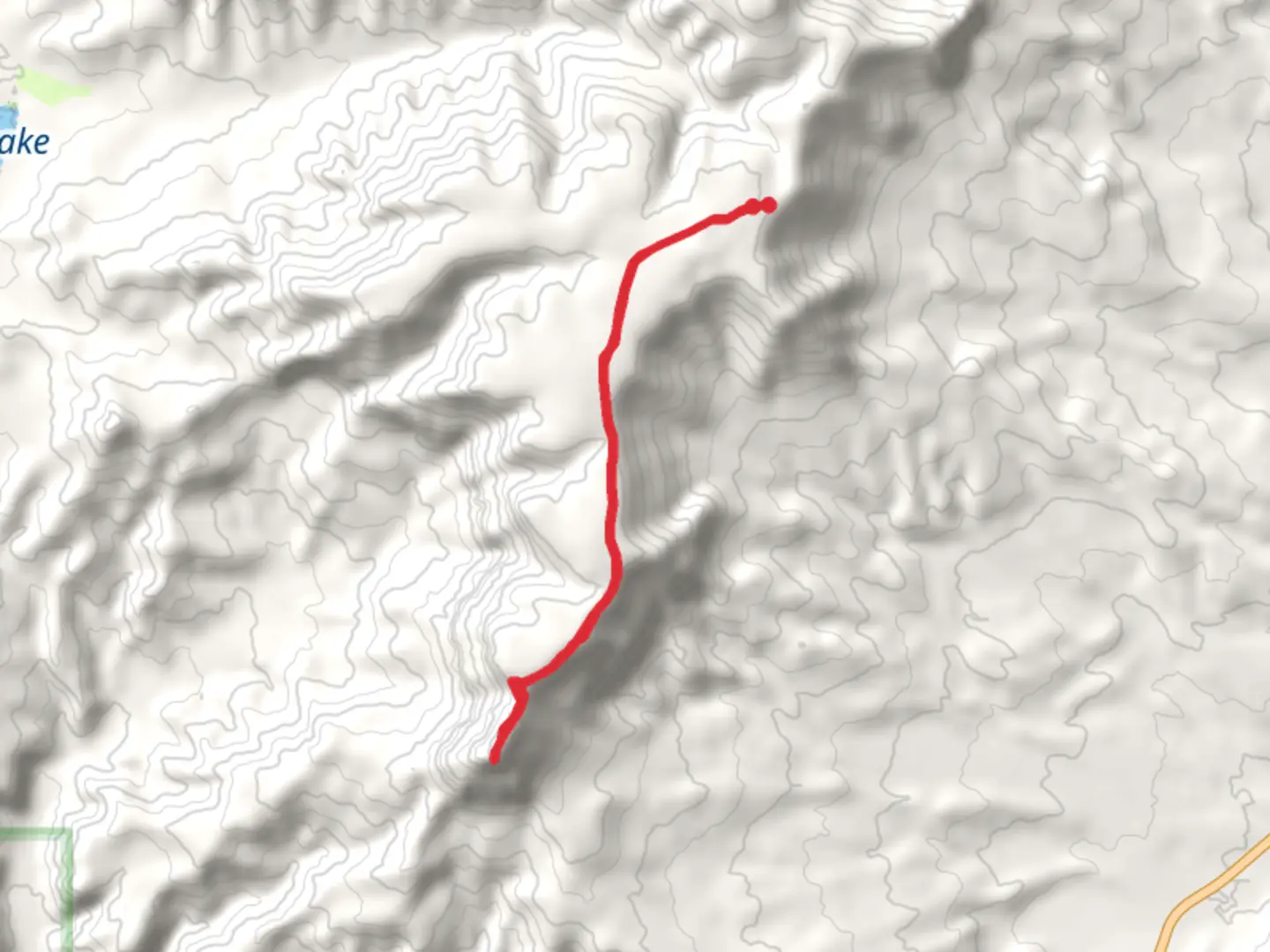
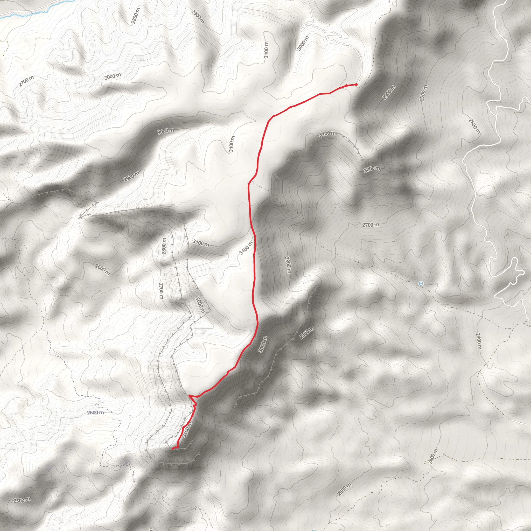
Starting your adventure near Garfield County, Utah, the Powell Point Trail offers a captivating journey through the rugged beauty of the Aquarius Plateau. This out-and-back trail spans approximately 14 kilometers (around 8.7 miles) with an elevation gain of about 300 meters (approximately 984 feet), making it a moderately challenging hike suitable for those with a decent level of fitness.
Getting There To reach the trailhead, you can drive to the nearest significant landmark, which is the town of Tropic, Utah. From Tropic, head east on UT-12 E for about 10 miles (16 km) until you reach the turnoff for Forest Road 143. Follow this road for approximately 20 miles (32 km) to the trailhead. Public transport options are limited in this remote area, so driving is the most practical way to get there. Ensure your vehicle is suitable for rough, unpaved roads.
Trail Overview The trail begins at an elevation of around 2,743 meters (9,000 feet) and gradually ascends to Powell Point, which stands at an impressive 3,048 meters (10,000 feet). The initial section of the trail meanders through dense forests of Ponderosa pine and Douglas fir, providing ample shade and a cool respite from the sun. As you progress, the forest opens up to reveal expansive meadows dotted with wildflowers during the spring and summer months.
Significant Landmarks and Points of Interest Around the 3-kilometer (1.9-mile) mark, you'll encounter a series of switchbacks that offer stunning views of the surrounding landscape. These switchbacks are a great spot to take a break and soak in the panoramic vistas of the Grand Staircase-Escalante National Monument to the south.
Continuing onward, you'll reach a plateau at approximately 6 kilometers (3.7 miles) into the hike. Here, the trail levels out, and you'll traverse a high-altitude meadow that is home to a variety of wildlife, including mule deer, elk, and the occasional black bear. Birdwatchers will also delight in spotting species such as the Clark's nutcracker and the mountain bluebird.
Historical Significance Powell Point itself holds historical significance as it was named after John Wesley Powell, the famed explorer and geologist who led expeditions through the Colorado River and the Grand Canyon in the late 19th century. The point offers a commanding view of the surrounding landscape, much like the vantage points Powell himself would have used to survey the region.
Final Ascent and Summit The final push to the summit involves a steeper climb, but the effort is well worth it. As you approach the 7-kilometer (4.3-mile) mark, the trail becomes rockier and more exposed, so be sure to watch your footing. Upon reaching Powell Point, you'll be rewarded with breathtaking 360-degree views that stretch across southern Utah, including Bryce Canyon National Park to the west and the Henry Mountains to the east.
Navigation and Safety Given the remote nature of this trail, it's crucial to come prepared. Download the trail map from HiiKER before you set out, as cell service can be unreliable. Carry plenty of water, snacks, and layers of clothing to accommodate changing weather conditions. Always let someone know your hiking plans and expected return time.
Embarking on the Powell Point Trail is a journey through both natural beauty and historical significance, offering hikers a unique glimpse into the rugged landscapes that define southern Utah.
What to expect?
Activity types
Comments and Reviews
User comments, reviews and discussions about the Powell Point Trail, Utah.
4.78
average rating out of 5
9 rating(s)
