Download
Preview
Add to list
More
9.4 km
~2 hrs 14 min
215 m
Out and Back
“Losee Canyon Trail offers a challenging yet rewarding hike through Utah's stunning landscapes and rich history.”
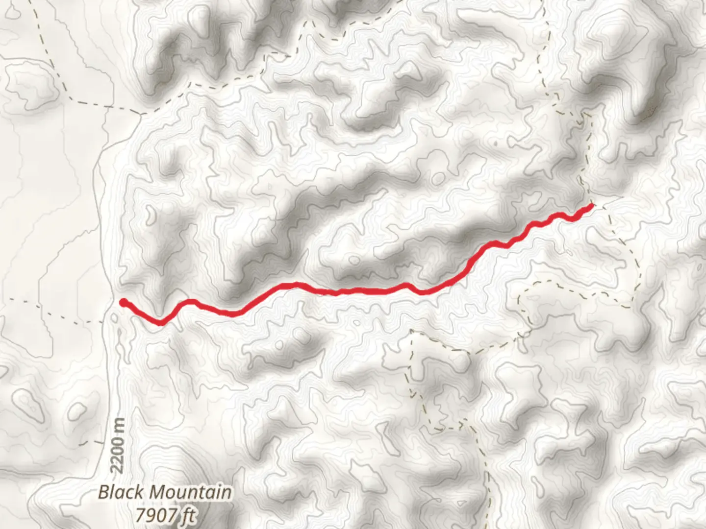
Losee Canyon Trail is a captivating 9 km (5.6 miles) out-and-back trail located near Garfield County, Utah. With an elevation gain of approximately 200 meters (656 feet), this trail is rated as medium difficulty, making it suitable for moderately experienced hikers.### Getting There To reach the trailhead, you can drive to the vicinity of Bryce Canyon National Park. The nearest significant landmark is Bryce Canyon City, which is about 20 minutes away by car. If you're using public transport, the closest major hub is Panguitch, Utah. From Panguitch, you can take a shuttle or taxi service to Bryce Canyon City and then proceed to the trailhead.### Trail Overview Starting at the trailhead, you'll immediately be greeted by the stunning red rock formations that characterize the region. The trail meanders through a series of narrow canyons and open spaces, offering a variety of landscapes to explore. The first 1.5 km (0.9 miles) of the trail is relatively flat, making it a good warm-up for the more challenging sections ahead.### Significant Landmarks and Nature As you progress, you'll encounter several notable landmarks. Around the 2 km (1.2 miles) mark, you'll come across a series of hoodoos—tall, thin spires of rock that have been eroded over millions of years. These formations are particularly striking in the early morning or late afternoon when the sunlight casts dramatic shadows.At approximately 3.5 km (2.2 miles), you'll reach a natural arch, a perfect spot for a short break and some photography. The arch is a testament to the erosive forces that have shaped this landscape over millennia.### Flora and Fauna The trail is home to a diverse range of plant and animal life. Keep an eye out for Ponderosa pines and juniper trees, which are common in this area. Wildlife sightings may include mule deer, foxes, and a variety of bird species such as the Steller's jay and the peregrine falcon. Always maintain a respectful distance from wildlife and follow Leave No Trace principles.### Historical Significance Losee Canyon is part of the larger Grand Staircase-Escalante National Monument, an area rich in geological and cultural history. The region has been inhabited by Native American tribes for thousands of years, and you may come across petroglyphs and other archaeological sites along the way. These remnants offer a glimpse into the lives of the ancient peoples who once called this area home.### Navigation and Safety Given the trail's moderate difficulty, it's advisable to use a reliable navigation tool like HiiKER to keep track of your progress and ensure you stay on the correct path. The trail is well-marked, but having a digital map can provide additional peace of mind.### Final Stretch The final 1 km (0.6 miles) of the trail involves a gradual ascent, leading to a panoramic viewpoint that offers sweeping vistas of the surrounding canyons and plateaus. This is a great spot to rest and take in the breathtaking scenery before retracing your steps back to the trailhead.### Preparation Tips Ensure you bring plenty of water, especially during the hotter months, as the trail offers limited shade. Sturdy hiking boots are recommended due to the rocky terrain. Always check the weather forecast before heading out, as conditions can change rapidly in this region.Losee Canyon Trail offers a rewarding hike through some of Utah's most stunning landscapes, blending natural beauty with historical intrigue.

What to expect?
Activity types
Comments and Reviews
User comments, reviews and discussions about the Losee Canyon Trail, Utah.
4.5
average rating out of 5
22 rating(s)