Download
Preview
Add to list
More
3.1 km
~57 min
206 m
Loop
“The Horse Loop Trail blends natural beauty, historical intrigue, and moderate challenge in Utah's picturesque landscapes.”
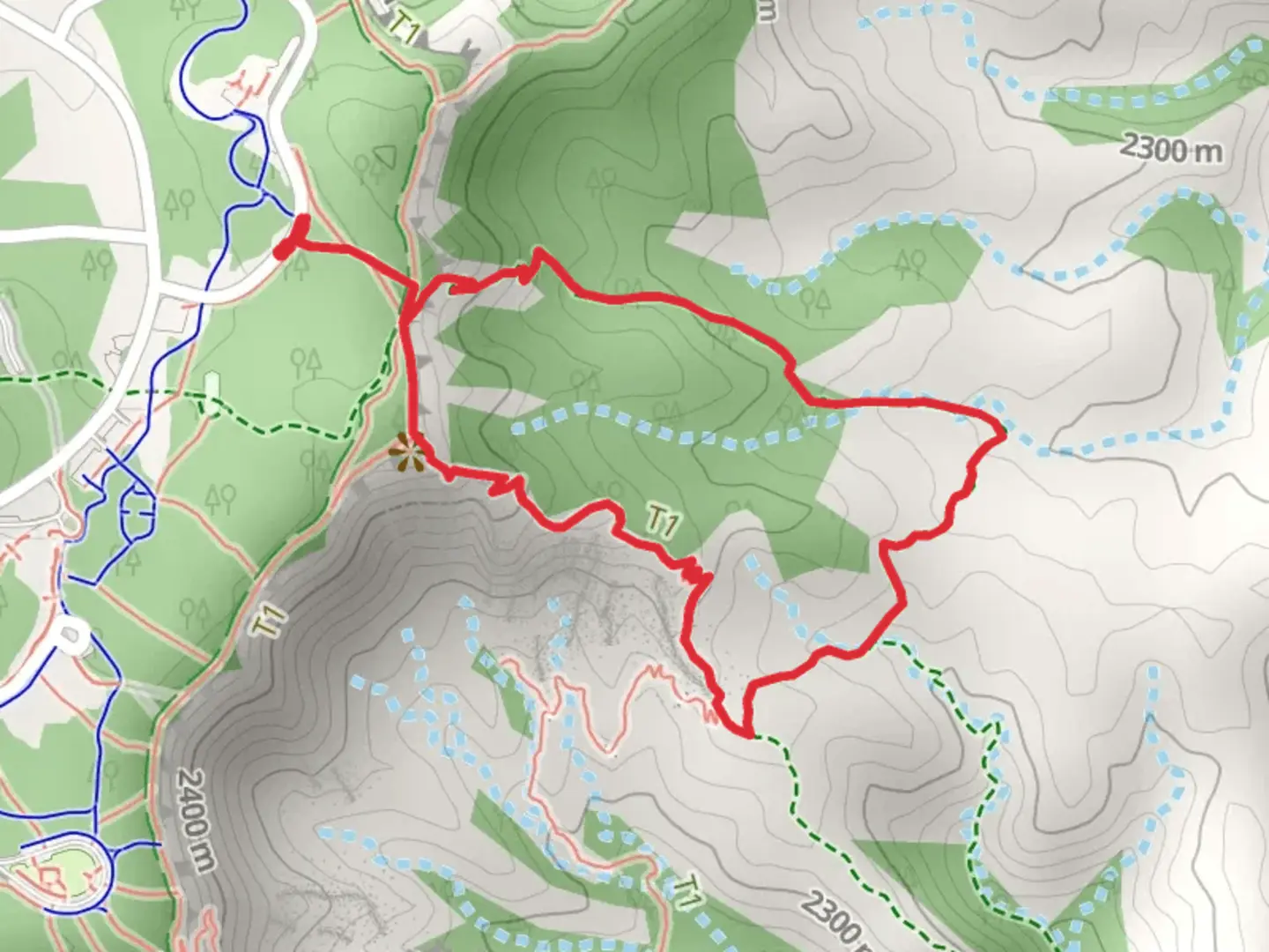
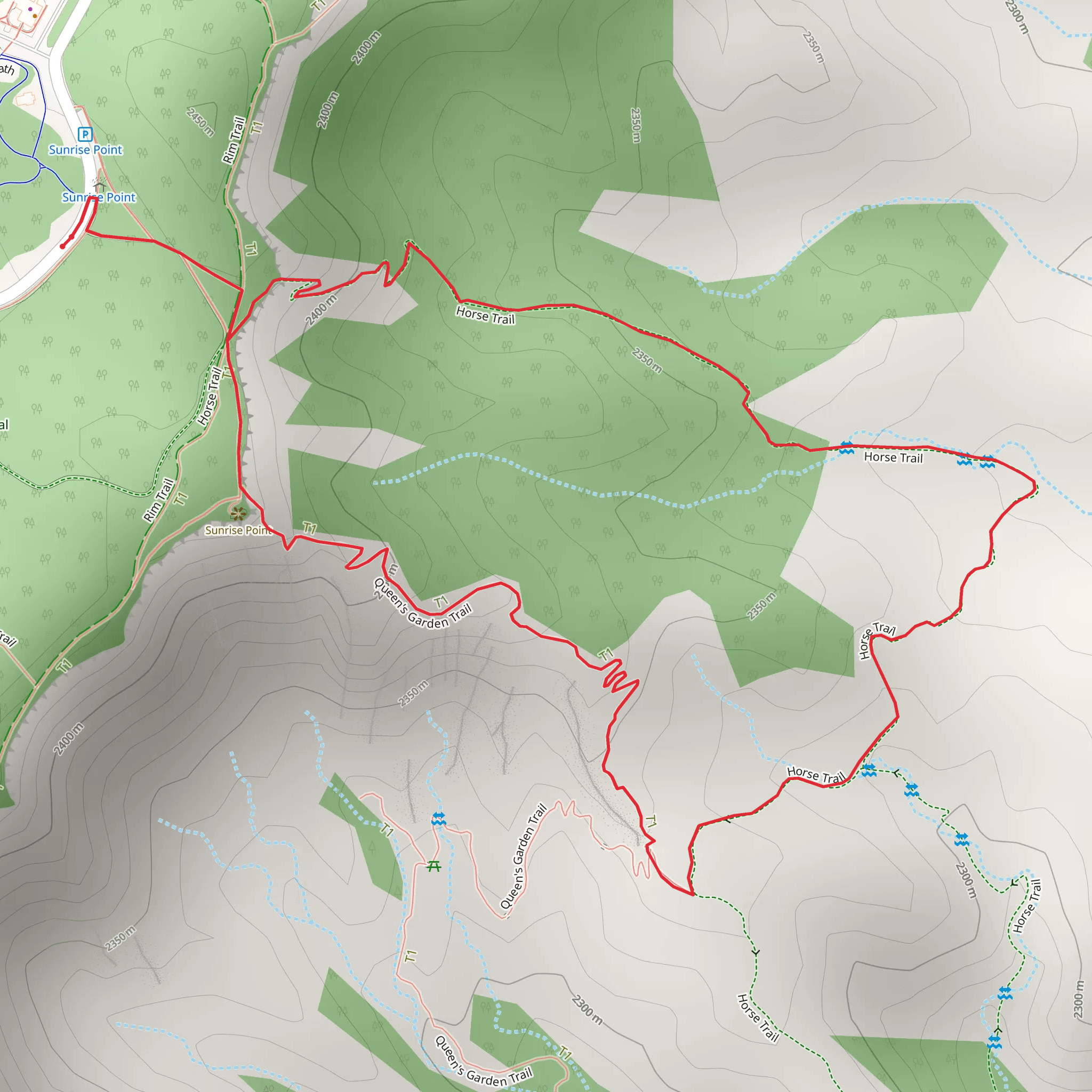
Starting near Garfield County, Utah, the Horse Loop Trail offers a moderately challenging hike with a distance of approximately 3 km (1.86 miles) and an elevation gain of around 200 meters (656 feet). This loop trail is perfect for those looking to experience the natural beauty and historical richness of the region.### Getting There To reach the trailhead, you can drive or use public transportation. If driving, head towards the nearest significant landmark, Bryce Canyon National Park, which is about a 30-minute drive from the trailhead. From Bryce Canyon, take UT-12 W and then turn onto a local road leading to the trailhead. For those using public transport, the nearest bus stop is at Bryce Canyon City, from where you can take a taxi or rideshare service to the trailhead.### Trail Overview The trail begins with a gentle ascent, allowing hikers to gradually acclimate to the elevation gain. The initial section is well-marked and winds through a forested area, offering shade and a cool environment, especially during the warmer months. As you progress, the trail opens up to more exposed terrain, providing panoramic views of the surrounding landscape.### Significant Landmarks and Nature At approximately 1 km (0.62 miles) into the hike, you'll come across a striking rock formation known locally as "The Sentinel." This natural landmark is a great spot for a short break and some photos. Continuing on, the trail meanders through a series of switchbacks, gaining elevation steadily. Around the 2 km (1.24 miles) mark, you'll reach the highest point of the trail, offering breathtaking views of the Escalante Grand Staircase. This area is also a good place to spot local wildlife, including mule deer and various bird species. Keep an eye out for the distinctive Utah juniper and pinyon pine trees that dot the landscape.### Historical Significance The region around Garfield County has a rich history, with evidence of Native American habitation dating back thousands of years. Petroglyphs and ancient artifacts have been found in nearby areas, adding a layer of historical intrigue to your hike. The trail itself was used by early settlers and cattle ranchers, and remnants of old cattle trails can still be seen.### Navigation and Safety Given the moderate difficulty of the trail, it's advisable to use a reliable navigation tool like HiiKER to ensure you stay on track. The trail is generally well-marked, but having a digital map can be very helpful, especially in the more exposed sections where trail markers can be sparse.### Final Stretch The descent begins after the highest point, leading you back through a different section of forest. This part of the trail is less steep but can be rocky, so watch your footing. As you near the end of the loop, you'll pass by a small creek, which can be a refreshing spot to cool down before completing your hike.The Horse Loop Trail offers a well-rounded hiking experience with its mix of natural beauty, historical significance, and moderate challenge. Whether you're a seasoned hiker or a casual adventurer, this trail provides a rewarding journey through one of Utah's most picturesque landscapes.
What to expect?
Activity types
Comments and Reviews
User comments, reviews and discussions about the Horse Loop Trail, Utah.
4.32
average rating out of 5
19 rating(s)
