Download
Preview
Add to list
More
14.9 km
~1 day 0 hrs
1379 m
Out and Back
“Traverse the raw splendor of Utah's wilderness on the Escalante Overlook and Mamie Creek trail.”
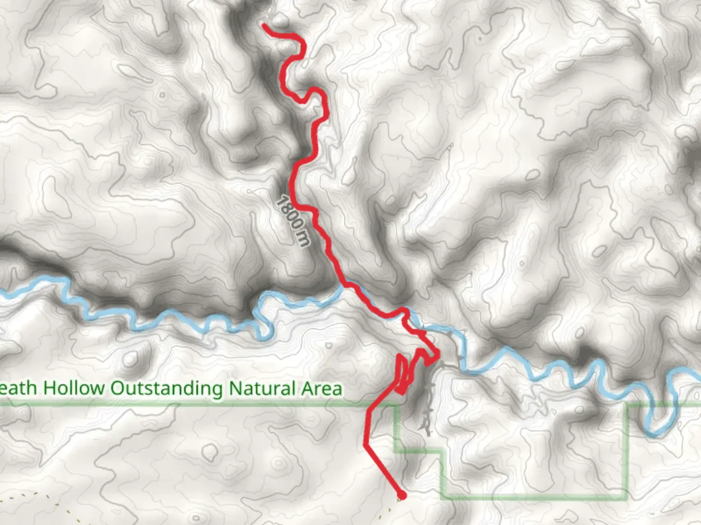
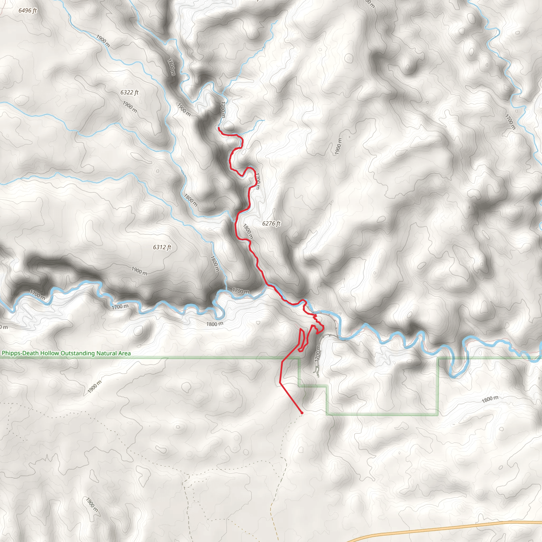
The Escalante Overlook and Mamie Creek trail, nestled near Garfield County, Utah, offers an immersive experience into the rugged beauty of the Grand Staircase-Escalante National Monument. Spanning approximately 15 kilometers (around 9.3 miles) with an elevation gain of roughly 1300 meters (about 4265 feet), this out-and-back trail is rated as medium difficulty, making it accessible to hikers with a reasonable level of fitness.
Getting to the Trailhead To reach the trailhead, you can drive to the nearest significant landmark, the town of Escalante. From there, head east on Highway 12 for about 5 miles until you reach the well-marked turnoff for the Hole-in-the-Rock Road. The trailhead is located approximately 57 miles down this road. The road is unpaved and can be rough, so a high-clearance vehicle is recommended. Public transport options are limited in this remote area, so driving is the most feasible option for reaching the start of the hike.
Navigating the Trail Once at the trailhead, hikers can use the HiiKER app to navigate the trail. The app provides detailed maps and GPS coordinates to ensure you stay on the right path. The trail begins with a gradual ascent, winding through a landscape of sagebrush and juniper. As you gain elevation, the views open up to reveal the vast expanse of slickrock and the winding Escalante River below.
Landmarks and Scenery At around the 3.5 km (2.2 miles) mark, you'll encounter the first major landmark, the Escalante Overlook. Here, you can take in panoramic views of the surrounding sandstone cliffs and deep canyons. The trail continues to weave through the desert, offering glimpses of local flora and fauna, including the occasional sighting of mule deer or desert bighorn sheep.
Historical Significance The region is steeped in history, with the Grand Staircase-Escalante National Monument protecting countless archaeological sites and rock art panels left by the Ancestral Puebloans. As you hike, you may notice ancient petroglyphs etched into the rock faces, a testament to the area's rich cultural heritage.
Wildlife and Flora The trail is home to a diverse range of wildlife. Keep an eye out for lizards basking on warm rocks, and listen for the calls of canyon wrens echoing off the stone walls. The plant life is equally varied, with cacti, wildflowers, and the occasional cottonwood tree providing shade along the creek.
Final Ascent and Mamie Creek The last section of the trail involves a steeper climb, leading to the Mamie Creek area. This section is particularly rewarding in the spring when the creek is flowing, and the wildflowers are in bloom. The turnaround point is at the creek, where hikers can rest and enjoy the tranquility of the water before beginning the descent back to the trailhead.
Preparation and Safety Due to the remote nature of the trail, it's essential to be well-prepared. Carry plenty of water—at least one gallon per person—as there are no reliable water sources along the route. Sun protection, such as a hat and sunscreen, is also crucial, as much of the trail is exposed to the sun. Check the weather forecast before setting out, as flash floods can be a danger in this region.
Remember, the Escalante Overlook and Mamie Creek trail offers a chance to explore the untamed wilderness of Southern Utah. With its breathtaking views, historical artifacts, and diverse ecosystems, it's a hike that promises to be both challenging and rewarding.
What to expect?
Activity types
Comments and Reviews
User comments, reviews and discussions about the Escalante Overlook and Mamie Creek, Utah.
4.46
average rating out of 5
13 rating(s)
