Download
Preview
Add to list
More
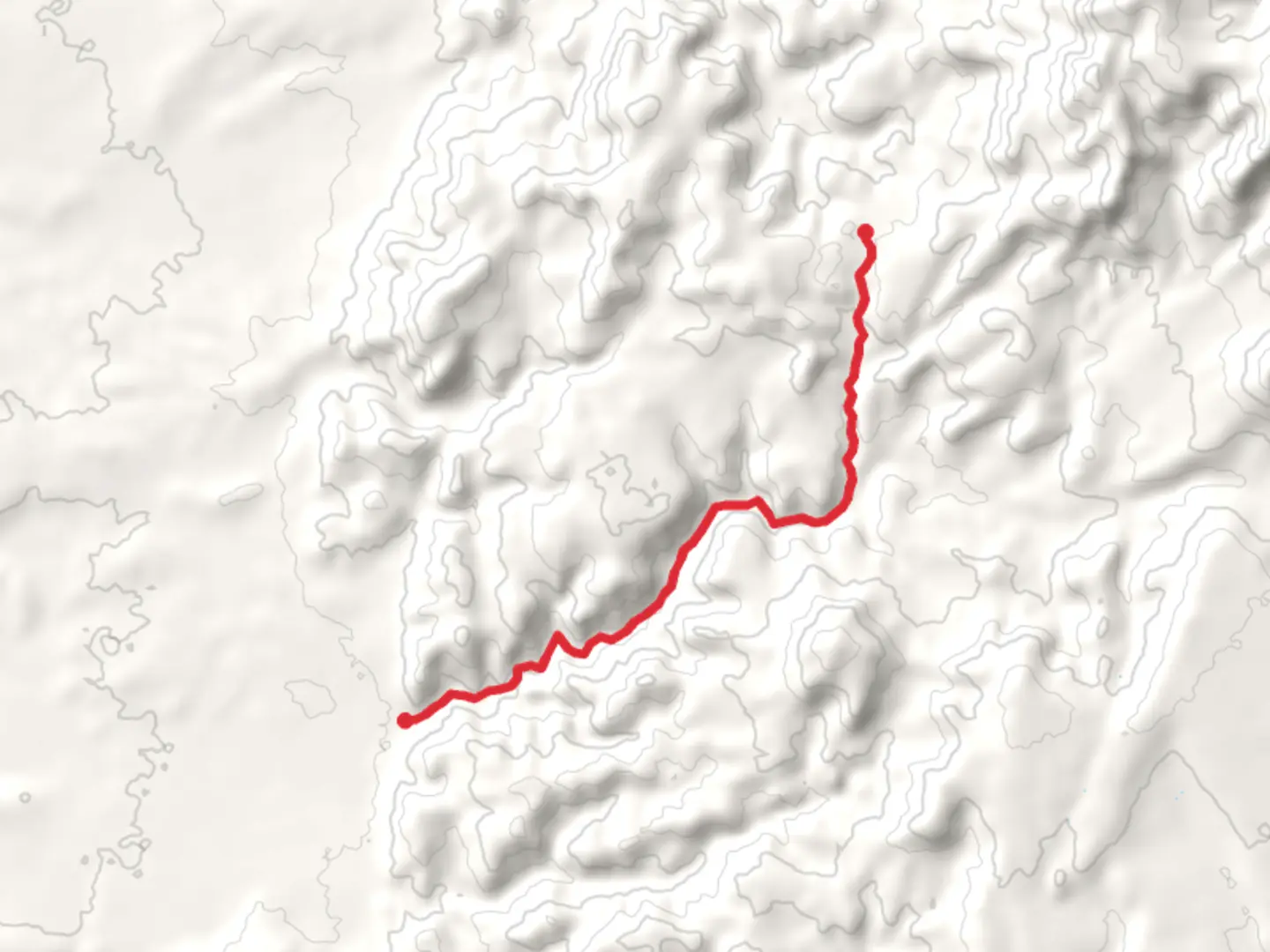
8.9 km
~2 hrs 19 min
326 m
Point-to-Point
“The Casto Canyon Trail is a scenic, moderately challenging hike featuring stunning red rock formations and vibrant hoodoos.”
Starting near Garfield County, Utah, the Casto Canyon Trail stretches approximately 9 km (around 5.6 miles) and offers a moderate challenge with an elevation gain of about 300 meters (984 feet). This point-to-point trail is a hidden gem, renowned for its stunning red rock formations and vibrant hoodoos that make it a must-visit for any hiker.### Getting There To reach the trailhead, you can drive or use public transport. If you're driving, head towards the town of Panguitch, Utah. From there, take US-89 South for about 6 miles (9.7 km) until you reach the turnoff for Casto Canyon Road. Follow this road for approximately 3 miles (4.8 km) until you reach the trailhead. For those relying on public transport, the nearest bus stop is in Panguitch, and from there, you may need to arrange a taxi or rideshare to the trailhead.### Trail Overview The trail begins with a gentle ascent through a landscape dotted with juniper and pinyon pine trees. As you progress, the path narrows and the red rock formations start to dominate the scenery. About 2 km (1.2 miles) in, you'll encounter the first set of hoodoos, which are tall, thin spires of rock that have been eroded over millions of years. These formations are particularly striking in the early morning or late afternoon light.### Significant Landmarks At around the 4 km (2.5 miles) mark, you'll come across a natural amphitheater, a large, open area surrounded by towering red cliffs. This is a great spot to take a break and soak in the views. Continuing on, the trail winds through narrow canyons and open meadows, offering a variety of landscapes that keep the hike interesting.### Flora and Fauna The Casto Canyon Trail is home to a diverse range of plant and animal life. Keep an eye out for mule deer, which are commonly seen in the area. Birdwatchers will also enjoy spotting species like the Western Bluebird and the Mountain Chickadee. The flora is equally diverse, with wildflowers such as Indian paintbrush and lupine adding splashes of color to the landscape, especially in the spring and early summer.### Historical Significance The region around Casto Canyon has a rich history. It was once inhabited by the Fremont and Ancestral Puebloan peoples, and you may come across petroglyphs and other archaeological remnants along the trail. These ancient artworks offer a glimpse into the lives of the people who once called this area home.### Navigation and Safety Given the moderate difficulty of the trail, it's advisable to use a reliable navigation tool like HiiKER to keep track of your progress and ensure you stay on the right path. The trail is well-marked, but having a digital map can be very helpful, especially in the more remote sections.### Final Stretch As you near the end of the trail, the landscape opens up, offering panoramic views of the surrounding canyons and valleys. The final descent is relatively gentle, leading you to the endpoint where you can arrange for a pickup or continue exploring the nearby trails and attractions.Whether you're a seasoned hiker or a casual adventurer, the Casto Canyon Trail offers a rewarding experience filled with natural beauty, historical intrigue, and a touch of adventure.

What to expect?
Activity types
Comments and Reviews
User comments, reviews and discussions about the Casto Canyon Trail, Utah.
4.67
average rating out of 5
21 rating(s)