Download
Preview
Add to list
More
10.9 km
~3 hrs 15 min
650 m
Out and Back
“The Fish Creek Trail in Duchesne County, Utah, offers a scenic, historic, and moderately challenging 7-mile hike.”
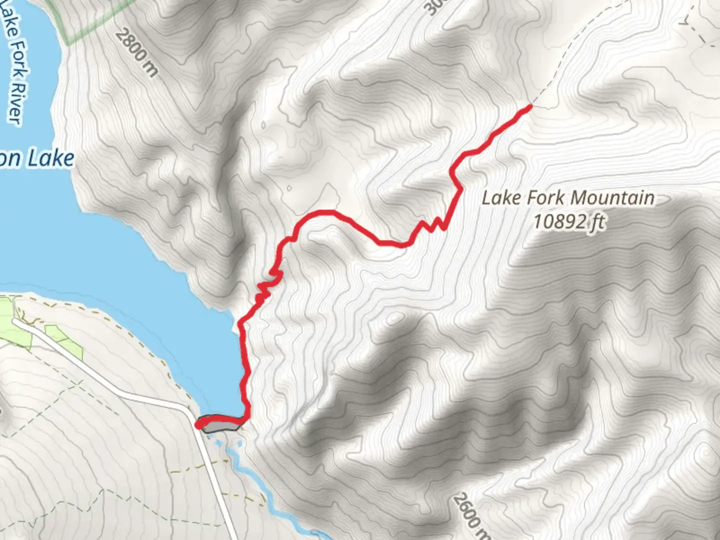
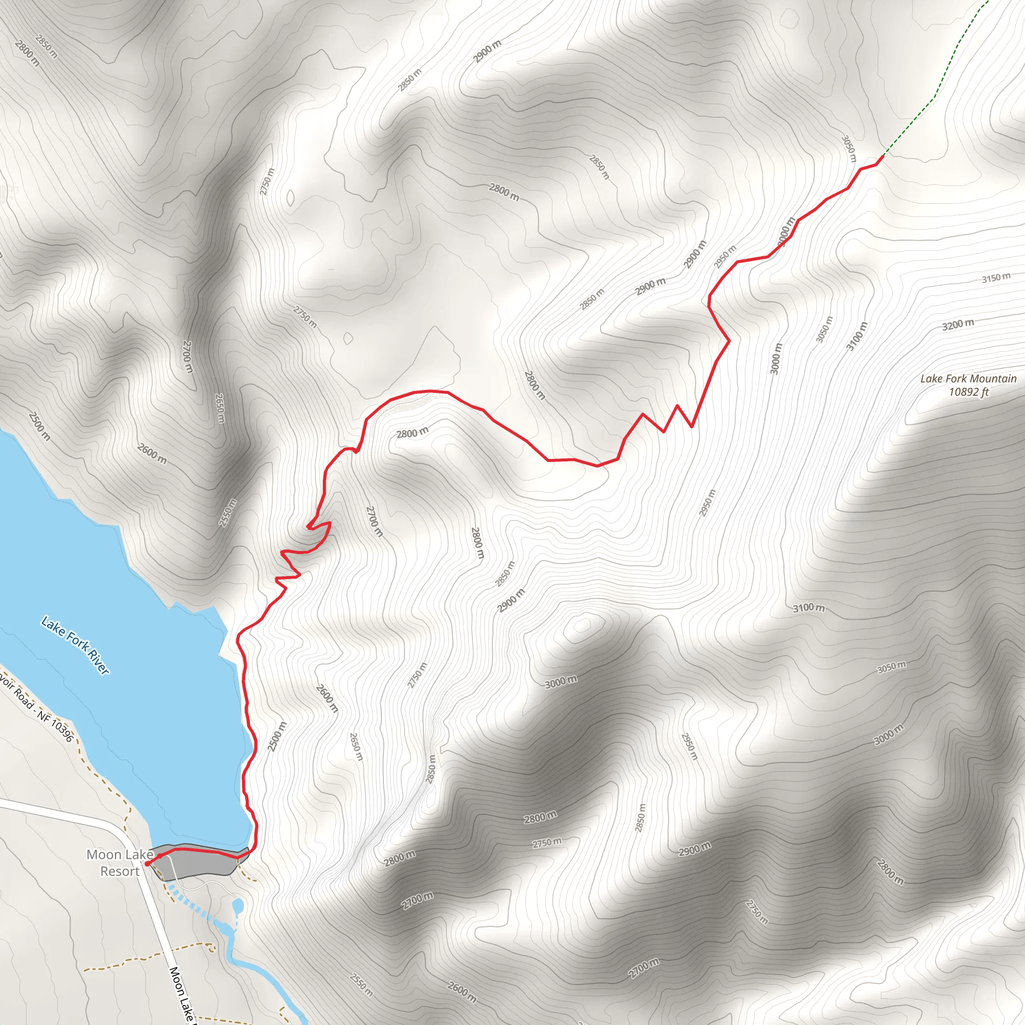
Nestled in the scenic Duchesne County, Utah, the Fish Creek Trail offers an invigorating hike through diverse landscapes, covering approximately 11 kilometers (around 7 miles) with an elevation gain of about 600 meters (approximately 1,970 feet). This out-and-back trail is rated as medium difficulty, making it suitable for moderately experienced hikers.### Getting There To reach the trailhead, head towards Duchesne County, Utah. If you're driving, the nearest significant landmark is the town of Duchesne. From Duchesne, take US-191 North for about 20 miles (32 kilometers) until you reach the turnoff for Forest Road 144. Follow this road for approximately 5 miles (8 kilometers) to reach the trailhead. For those relying on public transport, the nearest bus stop is in Duchesne, from where you may need to arrange a taxi or rideshare to the trailhead.### Trail Overview The Fish Creek Trail begins with a gentle ascent through a mixed forest of pine and aspen trees. The first 2 kilometers (1.2 miles) are relatively easy, with an elevation gain of about 100 meters (328 feet). This section is perfect for warming up and getting accustomed to the terrain. Keep an eye out for mule deer and wild turkeys, which are commonly seen in this area.### Mid-Trail Highlights As you progress further, the trail becomes steeper and more challenging. Between the 2-kilometer (1.2-mile) and 5-kilometer (3.1-mile) marks, you'll encounter a series of switchbacks that will take you up an additional 300 meters (984 feet) in elevation. This section offers stunning views of the surrounding Uinta Mountains and the Duchesne River Valley. Make sure to take breaks and hydrate, as the climb can be strenuous.### Historical Significance Around the 5-kilometer (3.1-mile) mark, you'll come across remnants of old mining operations from the late 19th century. These historical artifacts offer a glimpse into the region's past, when prospectors flocked to the area in search of precious minerals. Take a moment to explore these relics, but remember to leave them undisturbed for future hikers to enjoy.### Final Stretch The last 3 kilometers (1.9 miles) of the trail are less steep but still challenging, with an elevation gain of about 200 meters (656 feet). This section takes you through a high alpine meadow, where wildflowers bloom in abundance during the summer months. The trail ends at a picturesque viewpoint overlooking Fish Creek, a perfect spot for a picnic or simply to soak in the natural beauty.### Wildlife and Flora Throughout the hike, you'll be surrounded by a rich variety of flora and fauna. In addition to mule deer and wild turkeys, you might spot elk, black bears, and a variety of bird species. The trail is also home to diverse plant life, including wildflowers, ferns, and various types of mosses.### Navigation For navigation, it's highly recommended to use the HiiKER app, which provides detailed maps and real-time updates. This will help you stay on track and ensure a safe and enjoyable hike.### Preparation Tips Given the medium difficulty rating, it's essential to come prepared. Wear sturdy hiking boots, bring plenty of water, and pack some high-energy snacks. Weather can change rapidly in the mountains, so dress in layers and carry a rain jacket. Always let someone know your hiking plans and estimated return time.The Fish Creek Trail offers a rewarding experience with its mix of natural beauty, historical significance, and moderate challenge. Whether you're a seasoned hiker or looking to step up from easier trails, this hike promises an unforgettable adventure.
What to expect?
Activity types
Comments and Reviews
User comments, reviews and discussions about the Fish Creek Trail, Utah.
4.44
average rating out of 5
9 rating(s)
