Download
Preview
Add to list
More
5.8 km
~2 hrs 37 min
877 m
Out and Back
“Explore Triumph Trail's scenic 6 km hike with diverse wildlife, historical landmarks, and rewarding panoramic views.”
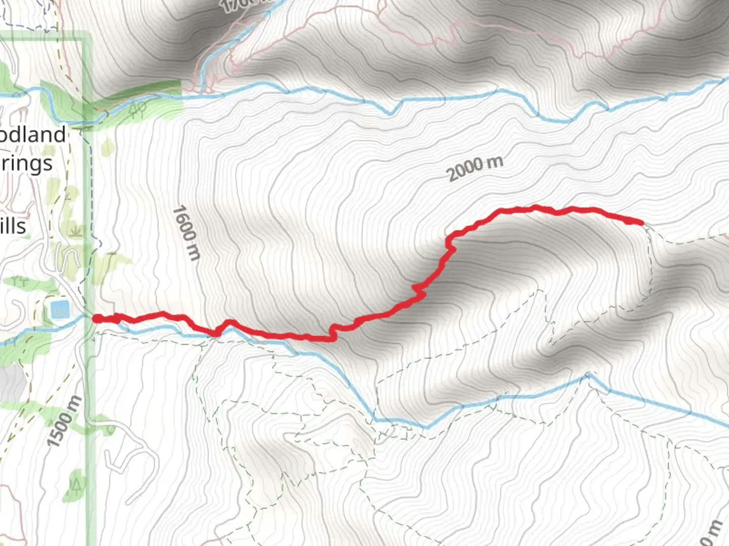
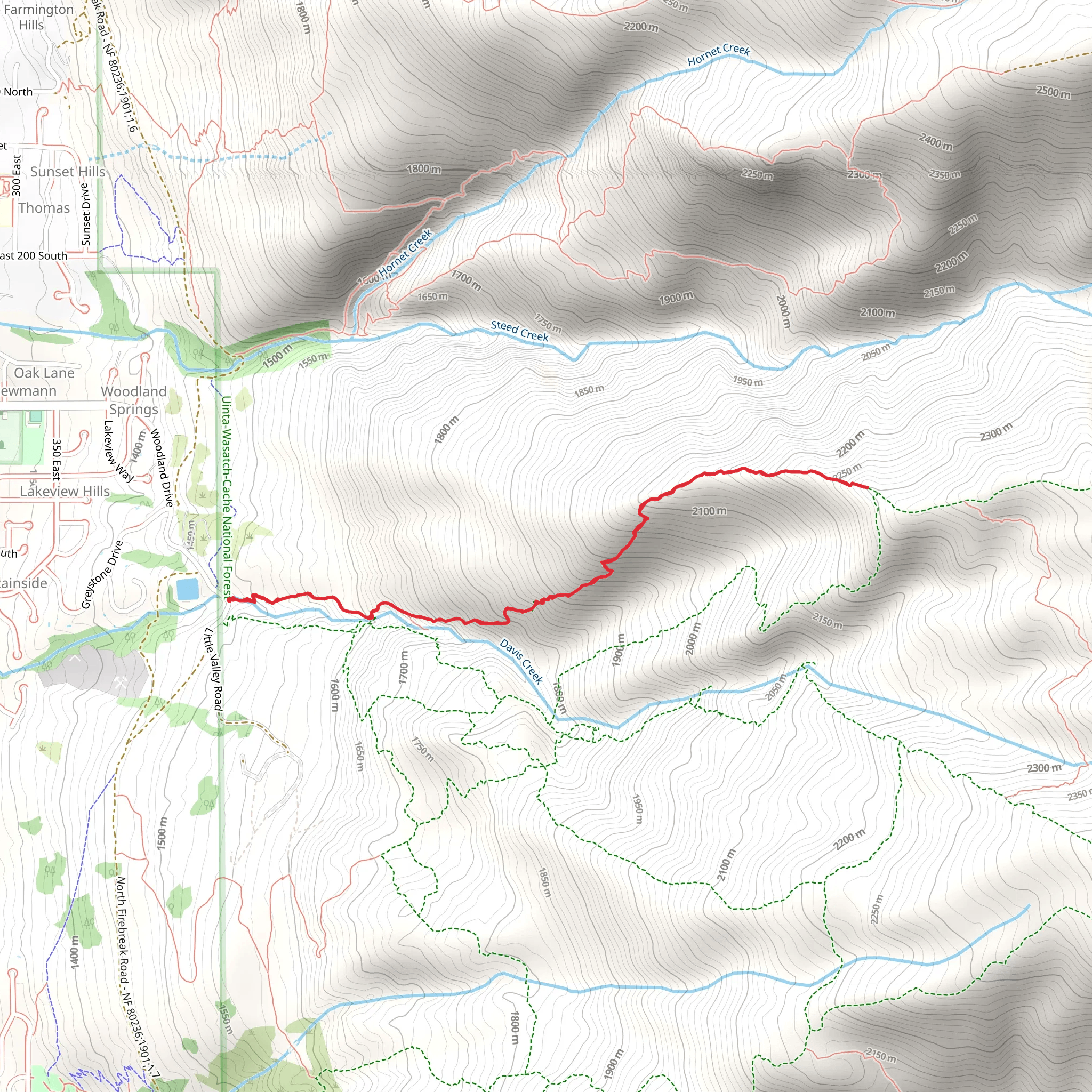
Starting your adventure near Davis County, Utah, the Triumph Trail offers a rewarding out-and-back hike that spans approximately 6 km (3.7 miles) with an elevation gain of around 800 meters (2,625 feet). This trail is rated as medium difficulty, making it suitable for moderately experienced hikers looking for a challenge.### Getting There To reach the trailhead, you can drive or use public transportation. If you're driving, head towards the nearest known address, which is the Davis County Library in Farmington, Utah. From there, it's a short drive to the trailhead. For those using public transport, take the UTA bus to the Farmington Station, and then a local taxi or rideshare service can take you the rest of the way to the trailhead.### Trail Overview The trail begins with a gentle ascent through a mixed forest of pine and aspen trees. Early on, you'll cross a small wooden bridge over a bubbling creek, a perfect spot to take a quick photo or just enjoy the serene sound of flowing water. As you continue, the trail becomes steeper, and the terrain shifts to rocky outcrops and loose gravel, so sturdy hiking boots are recommended.### Significant Landmarks At approximately 2 km (1.2 miles) into the hike, you'll encounter a large rock formation known locally as "The Sentinel." This natural landmark offers a great spot for a short break and some impressive photo opportunities. The elevation gain here is about 300 meters (985 feet), and the views start to open up, giving you a glimpse of the valley below.### Flora and Fauna The trail is rich in biodiversity. Keep an eye out for mule deer and wild turkeys, which are commonly seen in this area. In the spring and early summer, the trail is adorned with wildflowers such as Indian paintbrush and lupine, adding vibrant splashes of color to your hike.### Historical Significance The region around Davis County has a rich history dating back to the early Native American tribes who originally inhabited the area. The trail itself was used by early settlers and pioneers as a route to higher elevations for grazing livestock. Remnants of old cabins and fence lines can still be seen along the trail, offering a glimpse into the past.### Navigation and Safety Given the elevation gain and the rocky sections of the trail, it's advisable to use a reliable navigation tool like HiiKER to keep you on track. The trail is well-marked, but weather conditions can change rapidly, so always check the forecast before heading out. Carry plenty of water, especially during the summer months, and consider bringing trekking poles to help with the steeper sections.### Final Stretch As you approach the 5 km (3.1 miles) mark, the trail levels out slightly, leading you to a stunning viewpoint known as "Triumph Overlook." Here, you'll be rewarded with panoramic views of the surrounding mountains and valleys. This is the perfect spot to rest, have a snack, and take in the breathtaking scenery before making your way back down the trail.The Triumph Trail offers a blend of natural beauty, historical intrigue, and a moderate physical challenge, making it a must-visit for any hiking enthusiast in the Davis County area.
What to expect?
Activity types
Comments and Reviews
User comments, reviews and discussions about the Triumph Trail, Utah.
4.67
average rating out of 5
9 rating(s)
